Crewe, VA
Advertisement
Crewe, VA Map
Crewe is a US city in Nottoway County in the state of Virginia. Located at the longitude and latitude of -78.127500, 37.179400 and situated at an elevation of 162 meters. In the 2020 United States Census, Crewe, VA had a population of 2,262 people. Crewe is in the Eastern Standard Time timezone at Coordinated Universal Time (UTC) -5. Find directions to Crewe, VA, browse local businesses, landmarks, get current traffic estimates, road conditions, and more.
Crewe, located in the state of Virginia, is a small town with a rich history deeply entwined with the railroad industry. Founded in the late 19th century, Crewe was established primarily as a central hub for the Norfolk and Western Railway, and this heritage is still a significant part of its identity today. The town retains a quaint charm, with its historical roots visible in the architecture and layout. A visit to the Crewe Railroad Museum offers insights into the town's past, showcasing vintage railcars and artifacts that tell the story of its railroad legacy.
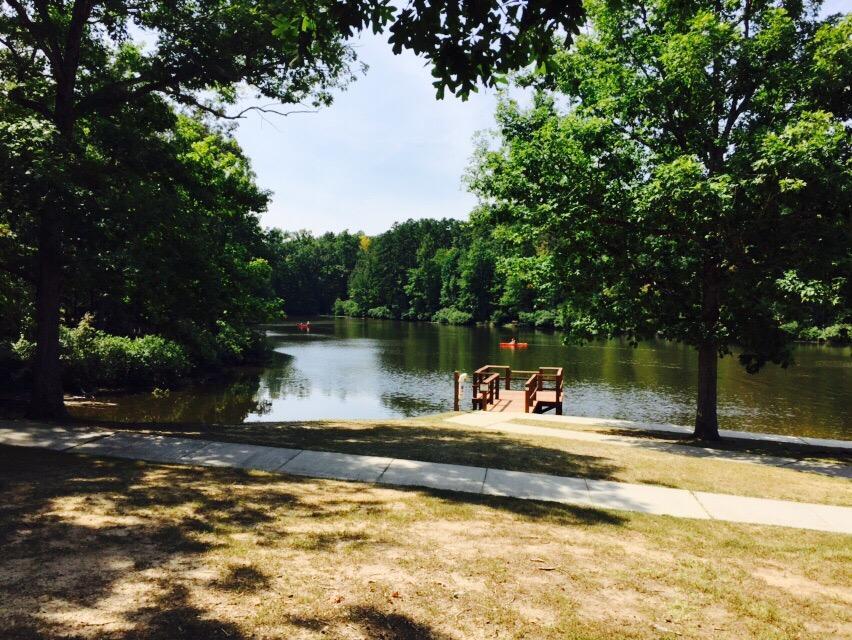
Aside from its historical attractions, Crewe offers a friendly, small-town atmosphere with a few notable spots for visitors to enjoy. The Crewe Public Library is a local gem, hosting community events and serving as a hub of activity. Outdoor enthusiasts can explore the nearby parks and natural areas, providing a serene backdrop for hiking and picnicking. The town's community spirit is evident in its local festivals and events, which often celebrate its railroad heritage and bring residents and visitors together. While Crewe may not be a bustling metropolis, its historical significance and welcoming environment make it a noteworthy stop for those exploring Virginia's heartland.
Nearby cities include: Burkeville, VA, Nottoway, VA, Blackstone, VA, Victoria, VA, Kenbridge, VA, Farmville, VA, Lunenburg, VA, Hampden Sydney, VA, Keysville, VA, Cumberland, VA.
Places in Crewe
Dine and drink
Eat and drink your way through town.
Can't-miss activities
Culture, natural beauty, and plain old fun.
Places to stay
Hang your (vacation) hat in a place that’s just your style.
Advertisement


