Tinmouth
Advertisement
Tinmouth, VT Map
Tinmouth is a US city in Rutland County in the state of Vermont. Located at the longitude and latitude of -73.050833, 43.448333 and situated at an elevation of 418 meters. In the 2020 United States Census, Tinmouth, VT had a population of 553 people. Tinmouth is in the Eastern Standard Time timezone at Coordinated Universal Time (UTC) -5. Find directions to Tinmouth, VT, browse local businesses, landmarks, get current traffic estimates, road conditions, and more.
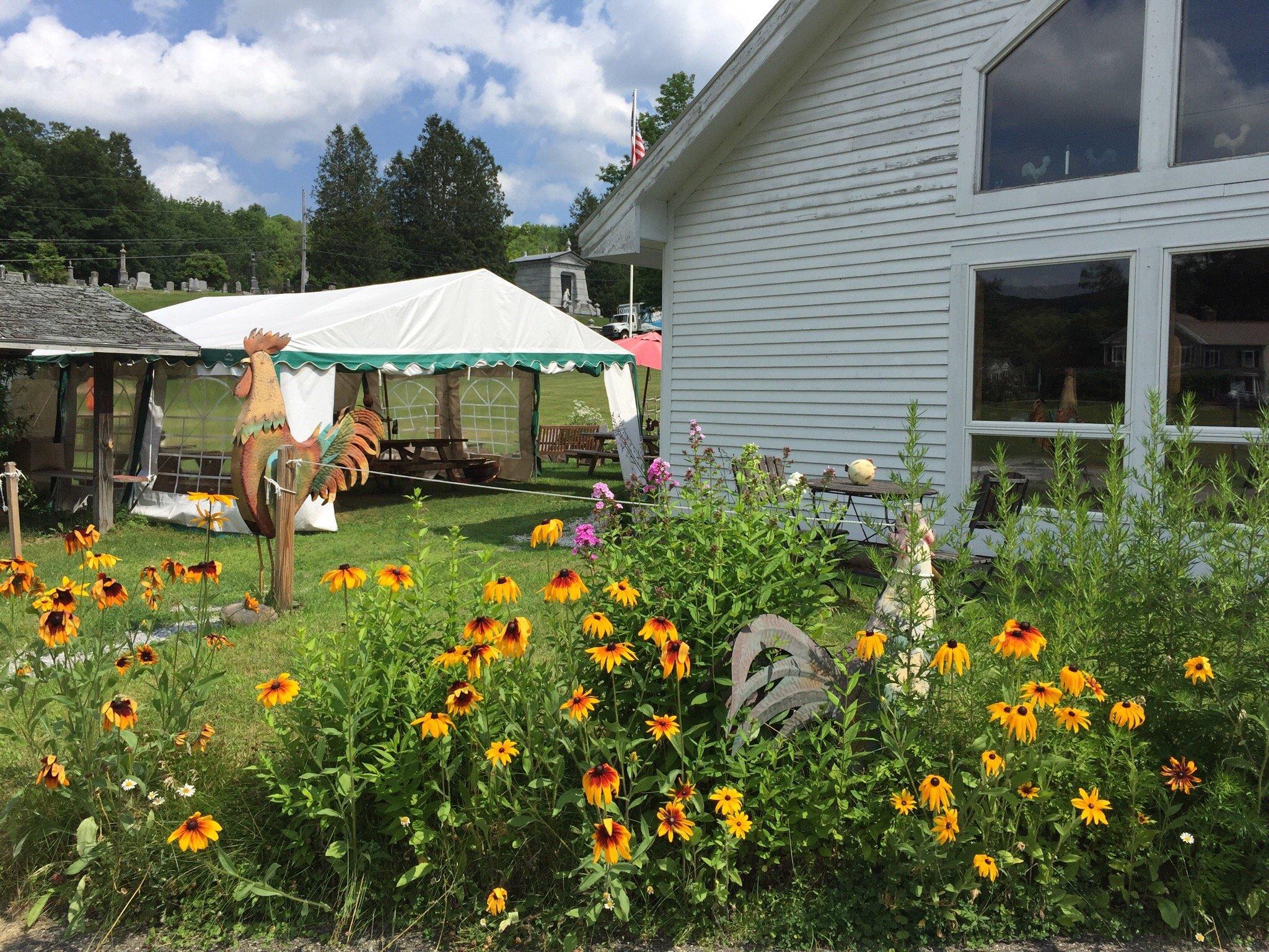
Tinmouth, Vermont, is a quaint and picturesque town that embodies the quintessential rural charm of New England. Known for its serene landscapes and a strong sense of community, Tinmouth offers a peaceful retreat into nature. The town is particularly celebrated for its rich history and traditional Vermont values, which are evident in its well-preserved 19th-century architecture and historical sites. Tinmouth is also known for its vibrant community events, such as the annual Tinmouth Plant Sale and the Old Firehouse Concerts, which draw visitors from around the region for their unique local flavor and community spirit.
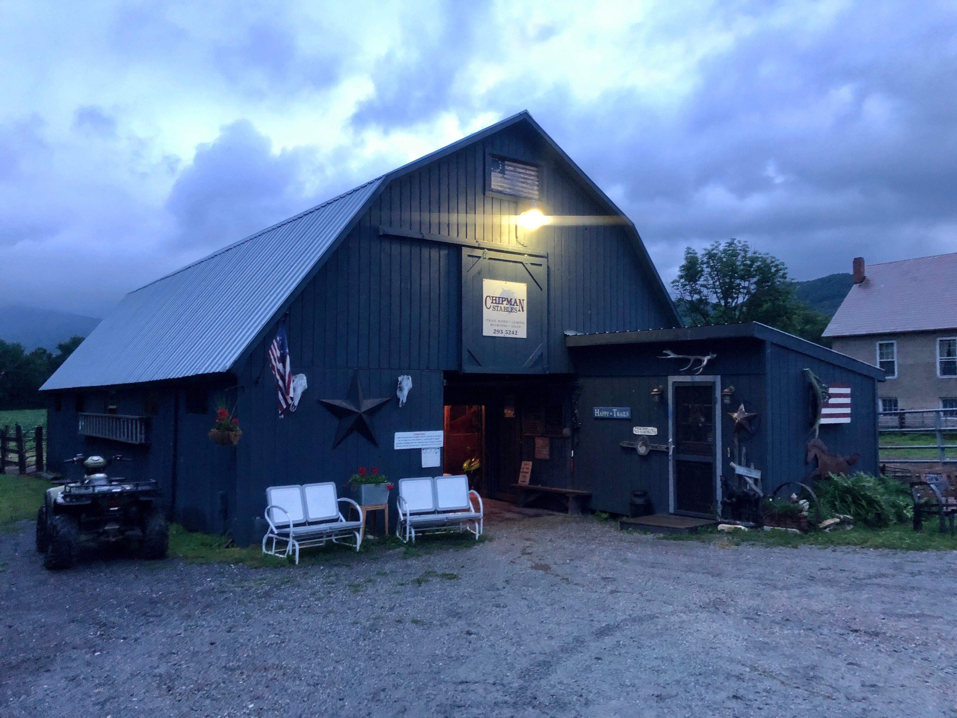
Visitors to Tinmouth can explore the stunning natural beauty of the area, including hiking trails and scenic vistas that offer breathtaking views of the Green Mountains. The town is home to several small farms and artisanal producers, providing a taste of Vermont's agricultural heritage. The Tinmouth Pond, also known as Chipman Lake, offers opportunities for fishing, kayaking, and picnicking. With its blend of history, community, and nature, Tinmouth serves as a tranquil getaway for those looking to experience the authentic charm of Vermont.
Nearby cities include: Middletown Springs, VT, Wallingford, VT, Ira, VT, Clarendon, VT, Wells, VT, Pawlet, VT, Mount Tabor, VT, West Rutland, VT, Poultney, VT, Granville, NY.
Places in Tinmouth
Dine and drink
Eat and drink your way through town.
Can't-miss activities
Culture, natural beauty, and plain old fun.
Places to stay
Hang your (vacation) hat in a place that’s just your style.
Advertisement


