Bluefield, VA
Advertisement
Bluefield, VA Map
Bluefield is a US city in Tazewell County in the state of Virginia. Located at the longitude and latitude of -81.271210, 37.252620 and situated at an elevation of 728 meters. In the 2020 United States Census, Bluefield, VA had a population of 5,096 people. Bluefield is in the Eastern Standard Time timezone at Coordinated Universal Time (UTC) -5. Find directions to Bluefield, VA, browse local businesses, landmarks, get current traffic estimates, road conditions, and more.
Bluefield, Virginia, is a city that exudes a small-town charm nestled in the Appalachian Mountains. Known for its picturesque landscapes and cool summer climate, Bluefield has earned the nickname "Nature's Air-Conditioned City." This unique feature is celebrated annually with the "Greater Bluefield Chamber of Commerce's Lemonade Days," where free lemonade is distributed when temperatures exceed 90°F. This tradition highlights the community's friendly and welcoming spirit. Historically, Bluefield served as a significant hub during the coal mining boom, contributing to the region's development and prosperity. Today, visitors can explore the remnants of this rich history through local museums and historical tours.
Among the popular places to visit in Bluefield is the Bluefield College, a small liberal arts institution that adds an academic flair to the city. For outdoor enthusiasts, the city offers access to the Appalachian Trail and Pinnacle Rock State Park, both providing ample opportunities for hiking and enjoying the natural beauty of the area. Additionally, the Bluefield Arts Center is a cultural hotspot, hosting performances and exhibitions that showcase local talent and creativity. Whether you're interested in history, nature, or the arts, Bluefield, Virginia, provides a quaint yet enriching experience for all its visitors.
Nearby cities include: Bluefield, WV, Pocahontas, VA, Bramwell, WV, Boissevain, VA, Montcalm, WV, Rocky Gap, VA, Bastian, VA, Maybeury, WV, Anawalt, WV, Matoaka, WV.
Places in Bluefield
Dine and drink
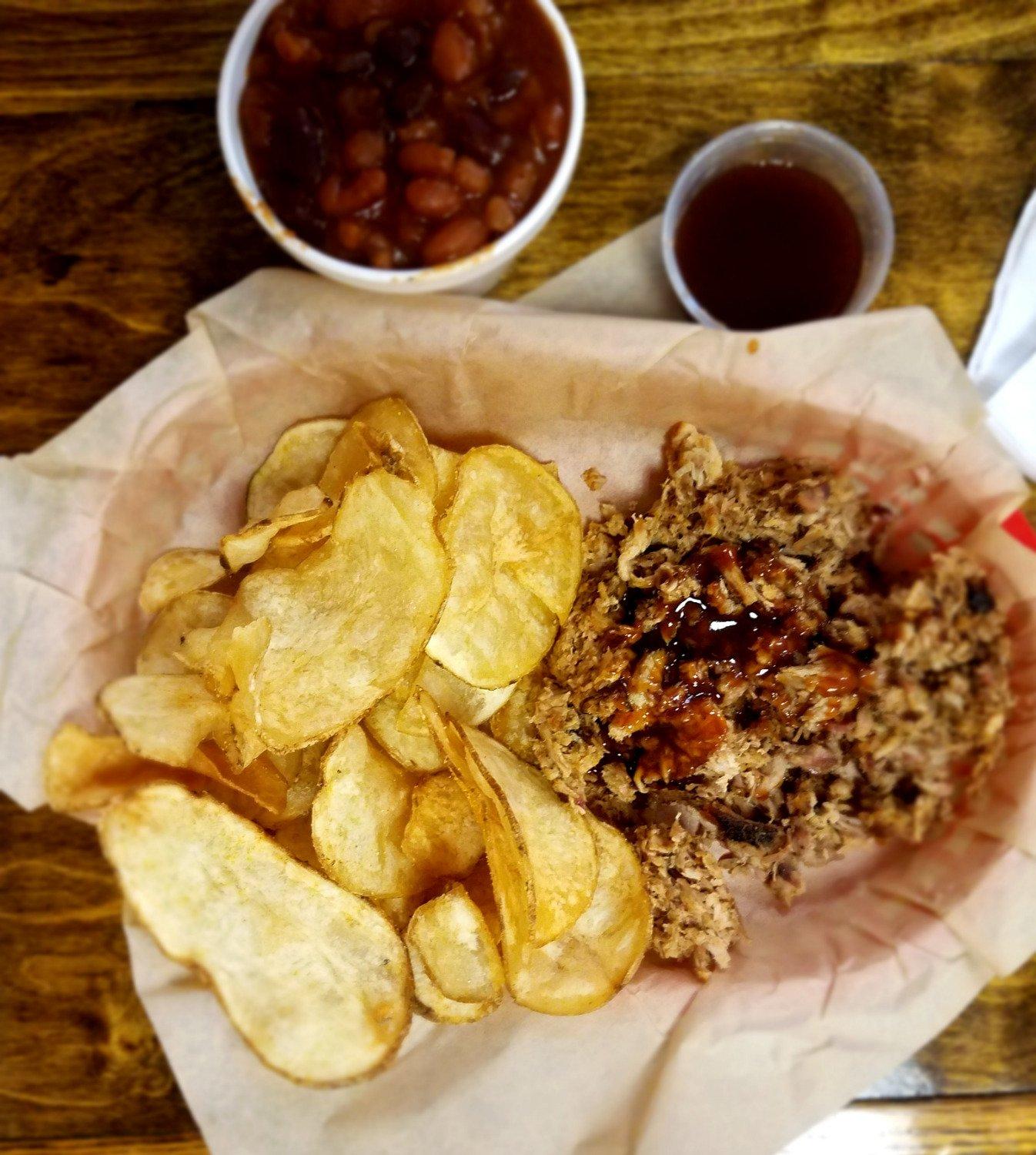
Eat and drink your way through town.
Can't-miss activities
Culture, natural beauty, and plain old fun.
Places to stay
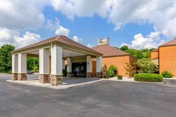
Hang your (vacation) hat in a place that’s just your style.
Advertisement


