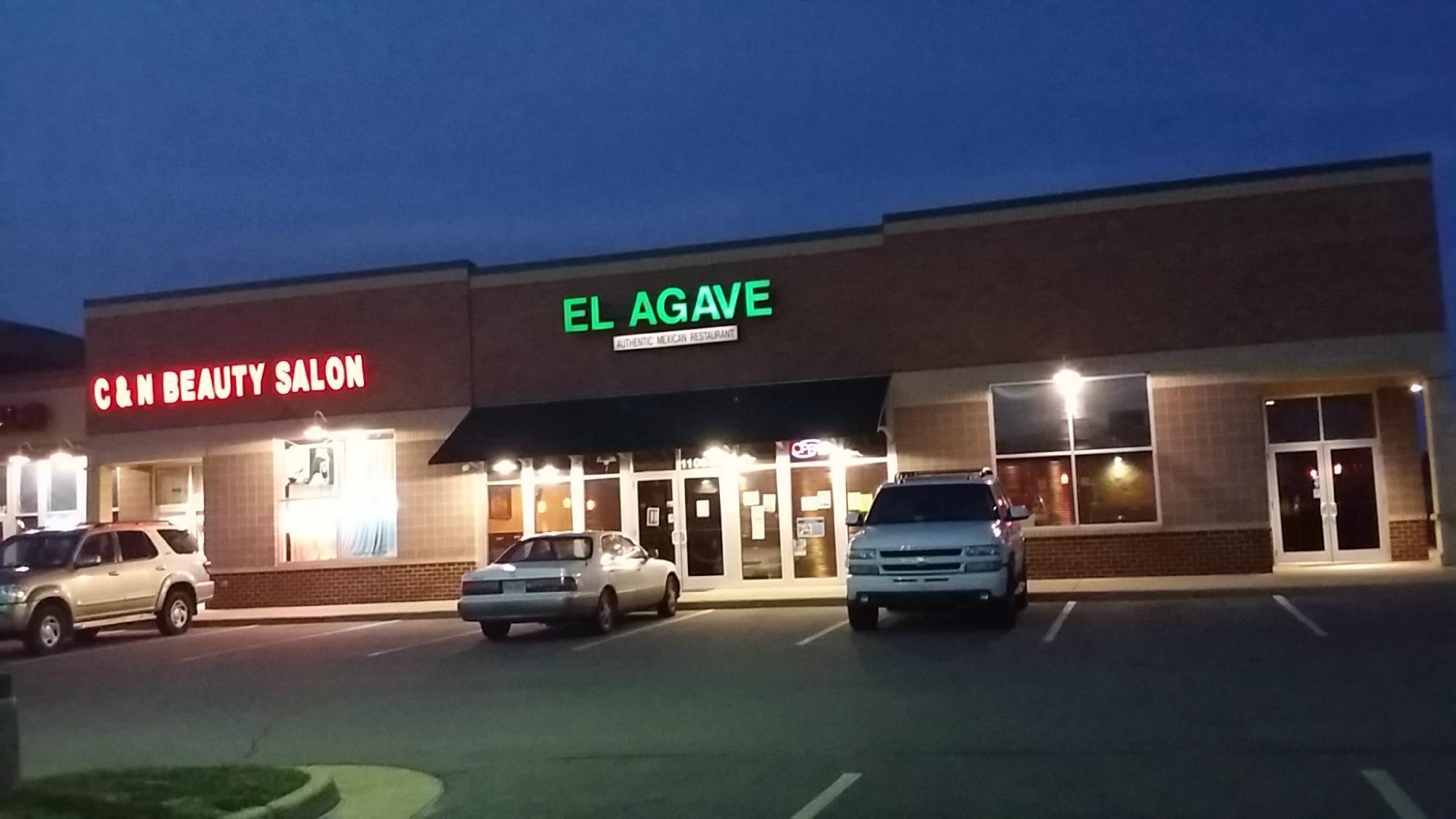
Bealeton, VA
Advertisement
Bealeton, VA Map
Bealeton is a US city in Fauquier County in the state of Virginia. Located at the longitude and latitude of -77.763889, 38.571667 and situated at an elevation of 324 meters. In the 2020 United States Census, Bealeton, VA had a population of 5,882 people. Bealeton is in the Eastern Standard Time timezone at Coordinated Universal Time (UTC) -5. Find directions to Bealeton, VA, browse local businesses, landmarks, get current traffic estimates, road conditions, and more.
Bealeton, Virginia, is a small yet charming community known primarily for its rural charm and historical significance. The city is perhaps best recognized for its proximity to the rich agricultural landscape of Virginia, offering a picturesque setting that appeals to those seeking a tranquil escape from urban life. One of the standout attractions in Bealeton is the Flying Circus Aerodrome, a unique venue where visitors can experience vintage biplane air shows, reminiscent of the barnstorming era. This attraction provides a fascinating glimpse into the history of aviation and continues to be a beloved event for both locals and tourists.
In addition to its aviation heritage, Bealeton is home to several historical sites that reflect its past. The area is dotted with landmarks that tell the story of its development through the centuries. While Bealeton does not boast the bustling activity of a large city, its serene setting and community-focused events, such as local fairs and farmers' markets, offer visitors a taste of authentic Virginian life. Whether you're exploring its skies or its history, Bealeton provides a peaceful retreat with a touch of nostalgia.
Nearby cities include: Midland, VA, Remington, VA, Brandy Station, VA, Catlett, VA, Warrenton, VA, Nokesville, VA, Culpeper, VA, Bristow, VA, Gainesville, VA, Haymarket, VA.
Places in Bealeton
Dine and drink
Eat and drink your way through town.
Can't-miss activities
Culture, natural beauty, and plain old fun.
Places to stay
Hang your (vacation) hat in a place that’s just your style.
Advertisement


