Henefer, UT
Advertisement
Henefer, UT Map
Henefer is a US city in Summit County in the state of Utah. Located at the longitude and latitude of -111.498333, 41.016111 and situated at an elevation of 1,626 meters. In the 2020 United States Census, Henefer, UT had a population of 838 people. Henefer is in the Mountain Standard Time timezone at Coordinated Universal Time (UTC) -7. Find directions to Henefer, UT, browse local businesses, landmarks, get current traffic estimates, road conditions, and more.
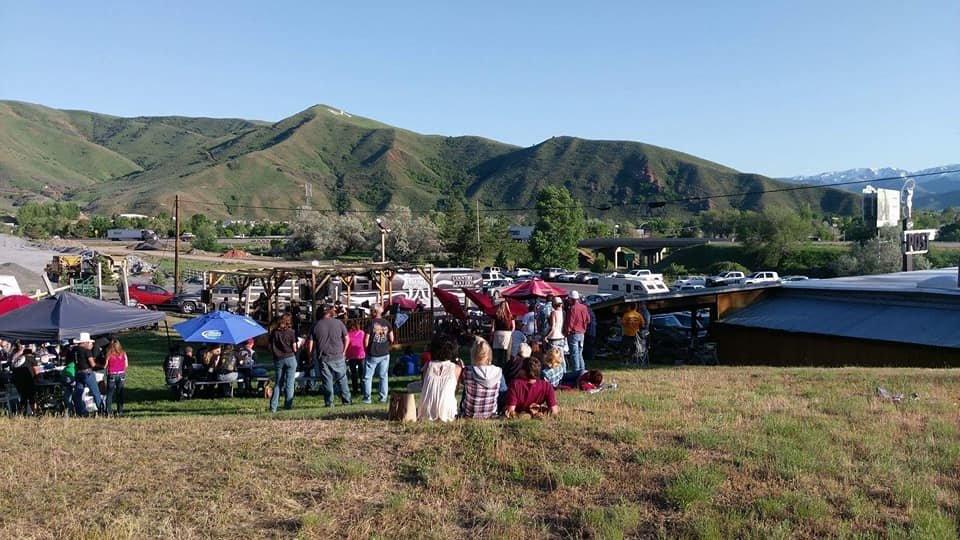
Henefer, located in Utah, is a small, picturesque town that is primarily recognized for its rich pioneer heritage and rural charm. It was settled in 1859 and named after James and William Henefer, early settlers who played a significant role in the town's development. The town's history is deeply intertwined with the Mormon Trail, as it served as a critical point for pioneers traveling westward. This historical background provides a glimpse into the early settlement patterns and the perseverance of those who traversed these lands.
Visitors to Henefer can explore its serene landscapes and enjoy outdoor activities such as hiking, fishing, and wildlife viewing in the surrounding natural areas. The town is also known for its close proximity to Echo Reservoir, a popular spot for boating and picnicking, offering a peaceful retreat for nature enthusiasts. Henefer's small-town atmosphere and historical significance make it a unique destination for those interested in exploring the roots of Utah's pioneer past while enjoying the tranquility of rural life.
Nearby cities include: Echo, UT, Coalville, UT, Morgan, UT, Enterprise, UT, Summit Park, UT, Centerville, UT, Farmington, UT, Fruit Heights, UT, Bountiful, UT, Peoa, UT.
Places in Henefer
Dine and drink
Eat and drink your way through town.
Can't-miss activities
Culture, natural beauty, and plain old fun.
Places to stay
Hang your (vacation) hat in a place that’s just your style.
Advertisement


