Aneth, UT
Advertisement
Aneth, UT Map
Aneth is a US city in San Juan County in the state of Utah. Located at the longitude and latitude of -109.164170, 37.205560 and situated at an elevation of 1,375 meters. In the 2020 United States Census, Aneth, UT had a population of 427 people. Aneth is in the Mountain Standard Time timezone at Coordinated Universal Time (UTC) -7. Find directions to Aneth, UT, browse local businesses, landmarks, get current traffic estimates, road conditions, and more.
Aneth, located in Utah, is a small community known primarily for its deep roots in Native American history and culture. It is situated within the Navajo Nation, one of the largest Native American reservations in the United States. The area is rich with cultural significance and offers visitors a glimpse into the traditional Navajo way of life. Although Aneth itself is not a bustling metropolis, its proximity to historical landmarks and natural wonders makes it a point of interest for those exploring the region.
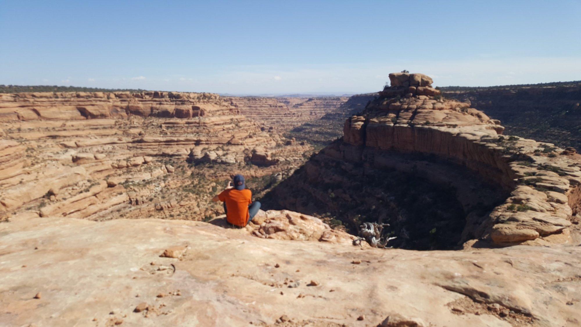
Visitors to Aneth can explore the nearby ancient rock formations and petroglyphs that echo the stories of the ancestral Puebloans. The area is also known for its picturesque desert landscapes, which provide opportunities for photography and outdoor recreation. While Aneth might not boast a wide array of commercial attractions, its cultural significance and natural beauty offer a unique experience for those interested in the history and heritage of the Navajo people. The community's serene environment and cultural richness make it a noteworthy stop for travelers seeking to understand more about the indigenous history of the American Southwest.
Nearby cities include: Montezuma Creek, UT, Teec Nos Pos, AZ, Bluff, UT, Towaoc, CO, Blanding, UT, Cortez, CO, Lewis, CO, Mexican Hat, UT, Shiprock, NM, Dolores, CO.
Places in Aneth
Dine and drink
Eat and drink your way through town.
Can't-miss activities
Culture, natural beauty, and plain old fun.
Places to stay
Hang your (vacation) hat in a place that’s just your style.
Advertisement


