


Seadrift, TX
Advertisement
Seadrift, TX Map
Seadrift is a US city in Calhoun County in the state of Texas. Located at the longitude and latitude of -96.712200, 28.412800 and situated at an elevation of 3 meters. In the 2020 United States Census, Seadrift, TX had a population of 995 people. Seadrift is in the Central Standard Time timezone at Coordinated Universal Time (UTC) -6. Find directions to Seadrift, TX, browse local businesses, landmarks, get current traffic estimates, road conditions, and more.
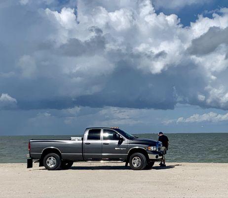
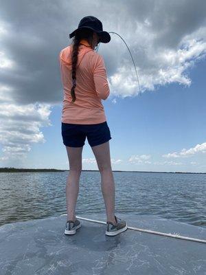
Seadrift, Texas, is a small coastal city renowned for its proximity to the scenic San Antonio Bay, making it a popular destination for fishing enthusiasts and nature lovers. The city is an excellent spot for those seeking a tranquil escape, offering opportunities for boating, kayaking, and birdwatching amidst the area's rich biodiversity. Seadrift's waterfront is a central feature, with its picturesque marina serving as a hub for local fishermen and visitors alike. The city's laid-back atmosphere is complemented by charming local dining spots where fresh seafood is a highlight.
The history of Seadrift is deeply tied to its maritime roots, with its establishment dating back to the early 20th century. Initially developed as a port town, Seadrift has maintained its connection to the sea, which continues to shape its cultural and economic landscape. The city's community events often celebrate this heritage, bringing together residents and visitors for annual festivals and fishing tournaments. Whether you're exploring its natural beauty or soaking in the local culture, Seadrift offers a unique glimpse into the coastal lifestyle of Texas.
Nearby cities include: Austwell, TX, Tivoli, TX, Port Lavaca, TX, Bloomington, TX, Point Comfort, TX, Placedo, TX, Holiday Beach, TX, Vanderbilt, TX, Fulton, TX, Lolita, TX.
Places in Seadrift
Dine and drink
Eat and drink your way through town.


Can't-miss activities
Culture, natural beauty, and plain old fun.


Places to stay
Hang your (vacation) hat in a place that’s just your style.


Advertisement