


Nolanville, TX
Advertisement
Nolanville, TX Map
Nolanville is a US city in Bell County in the state of Texas. Located at the longitude and latitude of -97.608300, 31.078900 and situated at an elevation of 216 meters. In the 2020 United States Census, Nolanville, TX had a population of 5,917 people. Nolanville is in the Central Standard Time timezone at Coordinated Universal Time (UTC) -6. Find directions to Nolanville, TX, browse local businesses, landmarks, get current traffic estimates, road conditions, and more.
Nolanville, located in the heart of Texas, is a small city known for its tight-knit community and rich local culture. While it may not be a bustling metropolis, Nolanville offers a quaint charm that attracts visitors looking for a peaceful retreat. The city is celebrated for its annual events such as the Central Texas Frolic, which brings residents and visitors together with parades, live music, and local food vendors. This event encapsulates the spirit of Nolanville, showcasing its commitment to community and tradition.
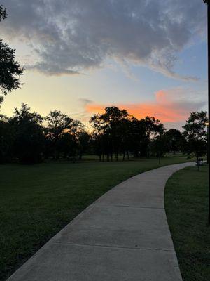
Among the popular spots in Nolanville is the Monarch Park, a tranquil area perfect for picnics, leisurely strolls, and family gatherings. The park is named in honor of the monarch butterflies that migrate through the region, offering a picturesque setting for nature enthusiasts. The city's history is reflected in its preserved historic buildings and the stories of the early settlers who contributed to its development. Visitors can explore these historical sites to gain insight into the city's past and appreciate the efforts made to maintain its heritage. Nolanville may be small, but it offers a unique slice of Texan life with its combination of community spirit, natural beauty, and historical significance.
Nearby cities include: Harker Heights, TX, Union Grove, TX, Killeen, TX, Belton, TX, Salado, TX, Morgan's Point Resort, TX, Temple, TX, Flat, TX, Little River-Academy, TX, Jarrell, TX.
Places in Nolanville
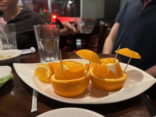
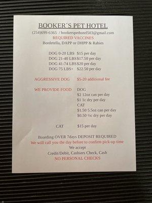
Dine and drink
Eat and drink your way through town.


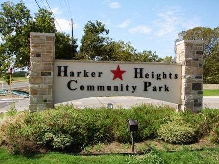
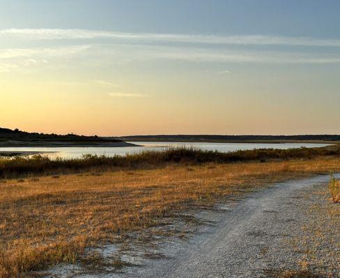
Can't-miss activities
Culture, natural beauty, and plain old fun.

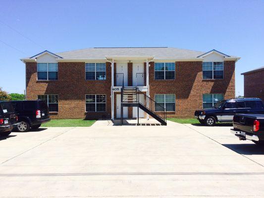
Places to stay
Hang your (vacation) hat in a place that’s just your style.


Advertisement