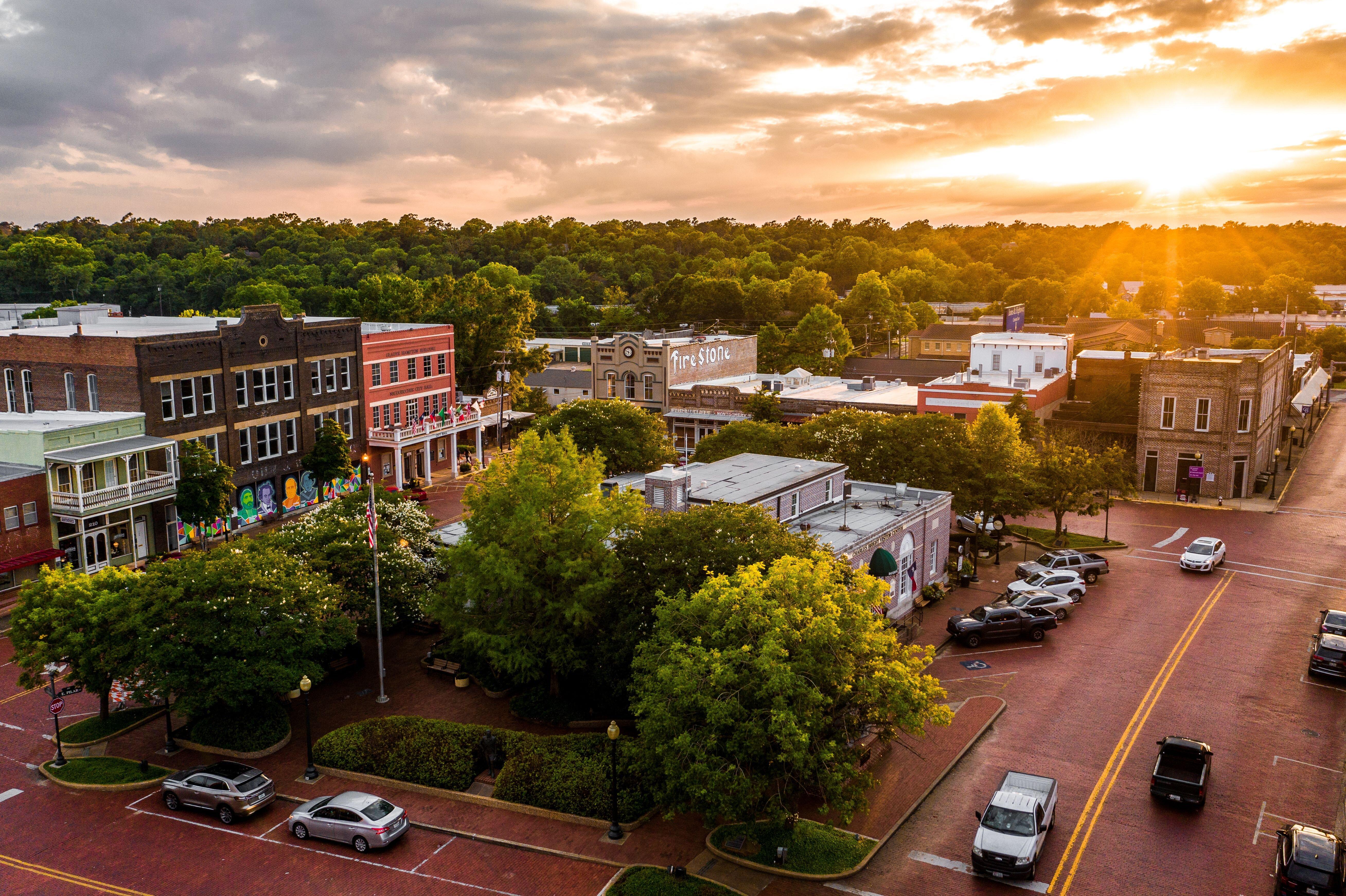
Nacogdoches, TX
Advertisement
Nacogdoches, TX Map
Nacogdoches is a US city in Nacogdoches County in the state of Texas. Located at the longitude and latitude of -94.650833, 31.608889 and situated at an elevation of 92 meters. In the 2020 United States Census, Nacogdoches, TX had a population of 32,147 people. Nacogdoches is in the Central Standard Time timezone at Coordinated Universal Time (UTC) -6. Find directions to Nacogdoches, TX, browse local businesses, landmarks, get current traffic estimates, road conditions, and more.
Nacogdoches, Texas, proudly holds the title of the oldest town in the state, with a rich history dating back to 1716 when it was established as a Spanish mission. This city's storied past is palpable, with historical landmarks like the Stone Fort Museum and the Sterne-Hoya House Museum and Library offering glimpses into its early days. Nacogdoches is also home to Stephen F. Austin State University, which injects a youthful energy into the community and offers cultural and educational attractions, including the SFA Mast Arboretum and the Old University Building.
Visitors to Nacogdoches can explore its charming downtown area, filled with unique shops, antique stores, and local eateries that reflect the city's Southern hospitality. The Ruby M. Mize Azalea Garden, the largest azalea garden in Texas, provides a stunning display of color, especially in the spring. For those interested in outdoor activities, the Lanana Creek Trail offers a scenic path through the heart of the city, perfect for walking or biking. With its blend of history, education, and natural beauty, Nacogdoches presents a quaint yet vibrant destination for travelers exploring East Texas.
Nearby cities include: Appleby, TX, Garrison, TX, Cushing, TX, Wells, TX, Lufkin, TX, Chireno, TX, Hudson, TX, Mount Enterprise, TX, Huntington, TX, Alto, TX.
Places in Nacogdoches
Dine and drink
Eat and drink your way through town.
Can't-miss activities
Culture, natural beauty, and plain old fun.
Places to stay
Hang your (vacation) hat in a place that’s just your style.
Advertisement


