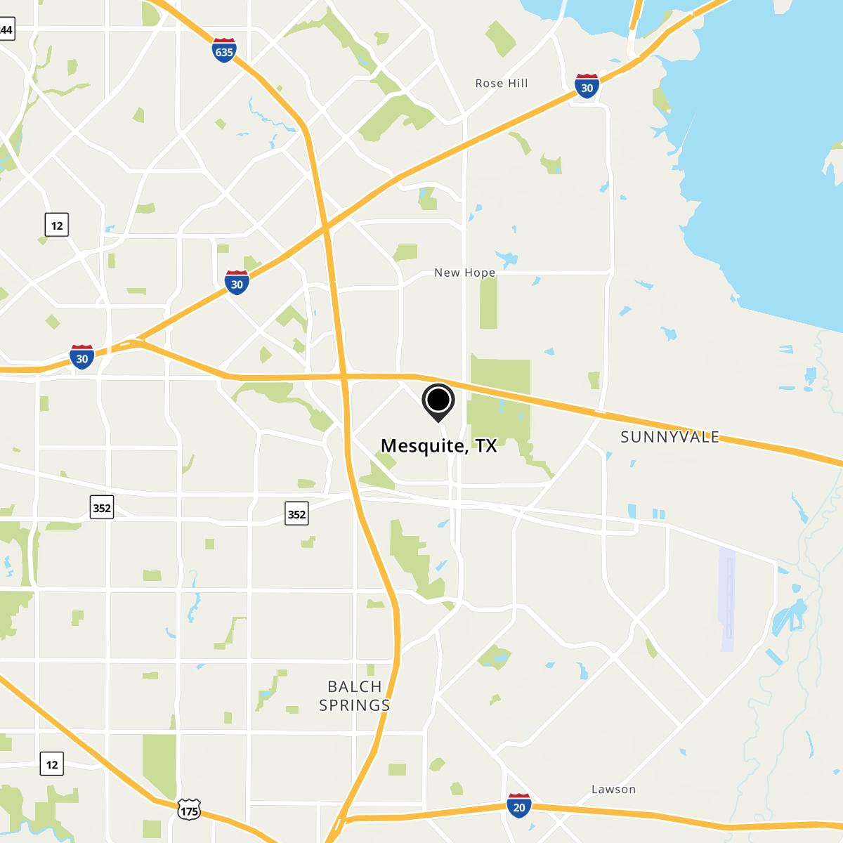
El Mesquite, TX Map
El Mesquite is a US city in Dallas County in the state of Texas. Located at the longitude and latitude of -98.771700, 26.384700 and situated at an elevation of 77 meters. In the 2020 United States Census, El Mesquite, TX had a population of 50 people. El Mesquite is in the Central Standard Time timezone at Coordinated Universal Time (UTC) -6. Find directions to El Mesquite, TX, browse local businesses, landmarks, get current traffic estimates, road conditions, and more.
El Mesquite, Texas, is a city known for its rich blend of cultural heritage and modern attractions, offering a quintessential Texan experience. The city is renowned for its vibrant arts scene, with numerous galleries and annual festivals celebrating local talent and creativity. One of the most popular places in El Mesquite is the historic downtown district, where visitors can explore charming boutiques, dine at locally-owned restaurants, and enjoy live performances at the community theater. The city also boasts expansive parks and outdoor spaces, perfect for hiking, picnicking, and enjoying the natural beauty of Texas.
Historically, El Mesquite has roots that trace back to the early settlers in the region, and it has grown over the years into a hub of cultural and economic activity. The city's history is preserved in several well-maintained museums and historical sites, which offer a glimpse into the life and times of its early inhabitants. Visitors often find themselves drawn to the annual Mesquite Heritage Festival, which showcases the city's storied past through reenactments, traditional crafts, and local cuisine. With its combination of history, culture, and modern amenities, El Mesquite offers a unique and engaging destination for travelers.
Nearby cities include: B and E, TX, Rio Grande City, TX, Garciasville, TX, West Alto Bonito, TX, Los Barreras, TX, La Chuparosa, TX, East Alto Bonito, TX, La Grulla, TX, Casa Blanca, TX, Buena Vista, TX.
Map of Mesquite, TX
