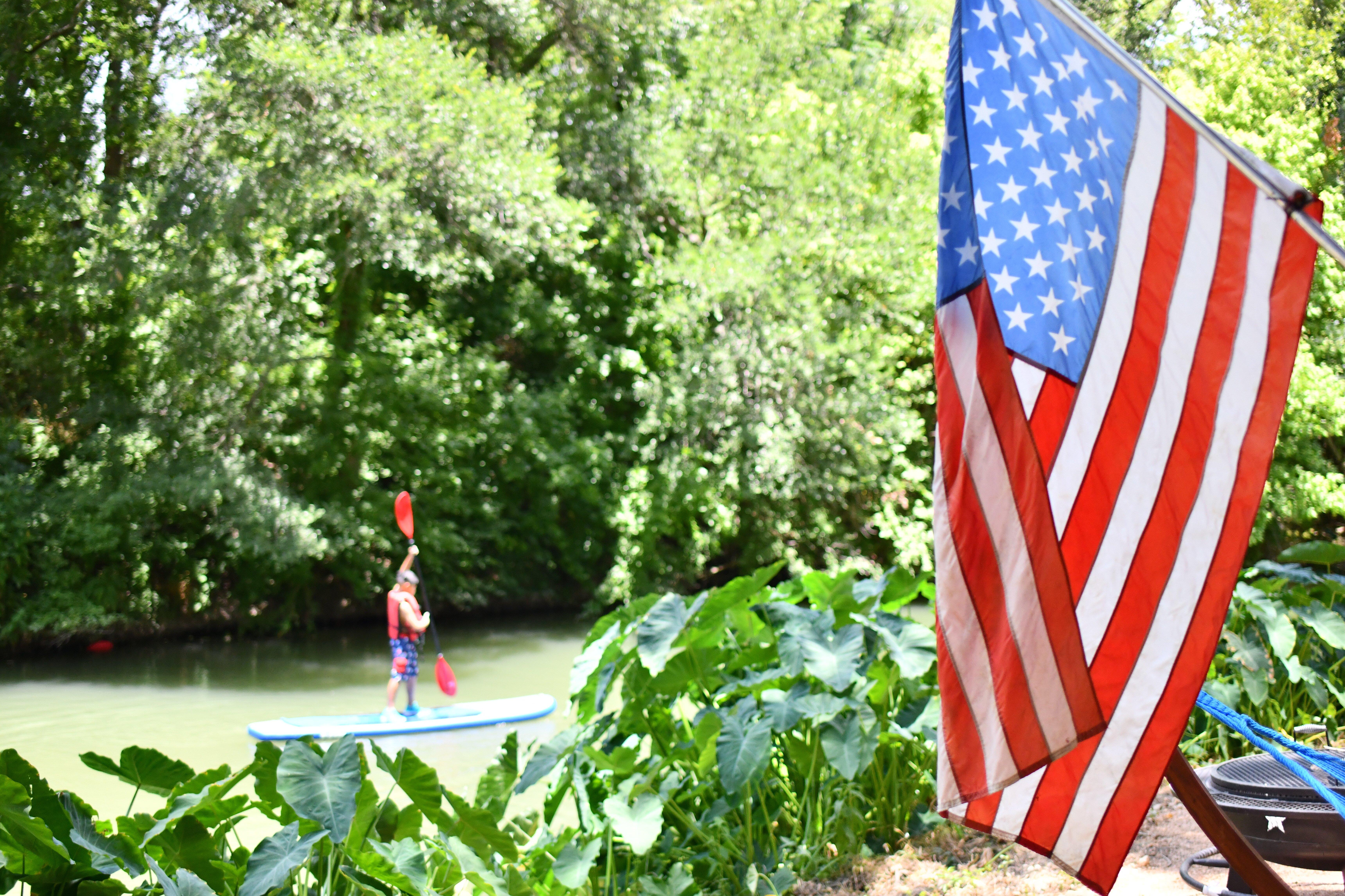
La Vernia, TX
Advertisement
La Vernia, TX Map
La Vernia is a US city in Wilson County in the state of Texas. Located at the longitude and latitude of -98.118100, 29.355300 and situated at an elevation of 149 meters. In the 2020 United States Census, La Vernia, TX had a population of 1,077 people. La Vernia is in the Central Standard Time timezone at Coordinated Universal Time (UTC) -6. Find directions to La Vernia, TX, browse local businesses, landmarks, get current traffic estimates, road conditions, and more.
La Vernia, Texas, is a small city with a rich historical tapestry and a charming rural atmosphere. Known for its tight-knit community and welcoming spirit, La Vernia offers a glimpse into traditional Texan life. The city is steeped in history, with roots tracing back to the mid-19th century, and it holds onto its heritage through landmarks such as the La Vernia Heritage Museum, which showcases artifacts and stories from its early settlers. The city is also recognized for its vibrant annual events like the Bluebonnet Parade and Festival, which celebrates the iconic Texas wildflower and brings locals together for festivities and camaraderie.
Popular spots in La Vernia include the tranquil La Vernia City Park, ideal for leisurely strolls and family picnics, and the picturesque Sutherland Springs, known for its natural beauty. The city is dotted with local businesses and eateries where visitors can enjoy authentic Texan cuisine. Antique enthusiasts will appreciate exploring the unique shops offering everything from vintage finds to handcrafted goods. La Vernia's blend of historical charm and community-centric activities makes it a delightful destination for those looking to experience the essence of small-town Texas life.
Nearby cities include: New Berlin, TX, Stockdale, TX, Martinez, TX, China Grove, TX, Elmendorf, TX, Marion, TX, Floresville, TX, Santa Clara, TX, Cibolo, TX, Converse, TX.
Places in La Vernia
Dine and drink
Eat and drink your way through town.
Can't-miss activities
Culture, natural beauty, and plain old fun.
Places to stay
Hang your (vacation) hat in a place that’s just your style.
Advertisement


