La Porte, TX
Advertisement
La Porte, TX Map
La Porte is a US city in Harris County in the state of Texas. Located at the longitude and latitude of -95.040833, 29.664722 and situated at an elevation of 6 meters. In the 2020 United States Census, La Porte, TX had a population of 35,124 people. La Porte is in the Central Standard Time timezone at Coordinated Universal Time (UTC) -6. Find directions to La Porte, TX, browse local businesses, landmarks, get current traffic estimates, road conditions, and more.
La Porte, Texas, is a city with a rich historical tapestry and a reputation for its significant contributions to the state's maritime and petrochemical industries. Known primarily for its proximity to the Houston Ship Channel, La Porte has played an integral role in the development of Texas's shipping and industrial sectors. At the heart of its historical significance is the San Jacinto Battleground State Historic Site, where the decisive battle of the Texas Revolution was fought in 1836. Visitors can explore the San Jacinto Museum of History and the towering San Jacinto Monument, offering insights into the state's fight for independence.
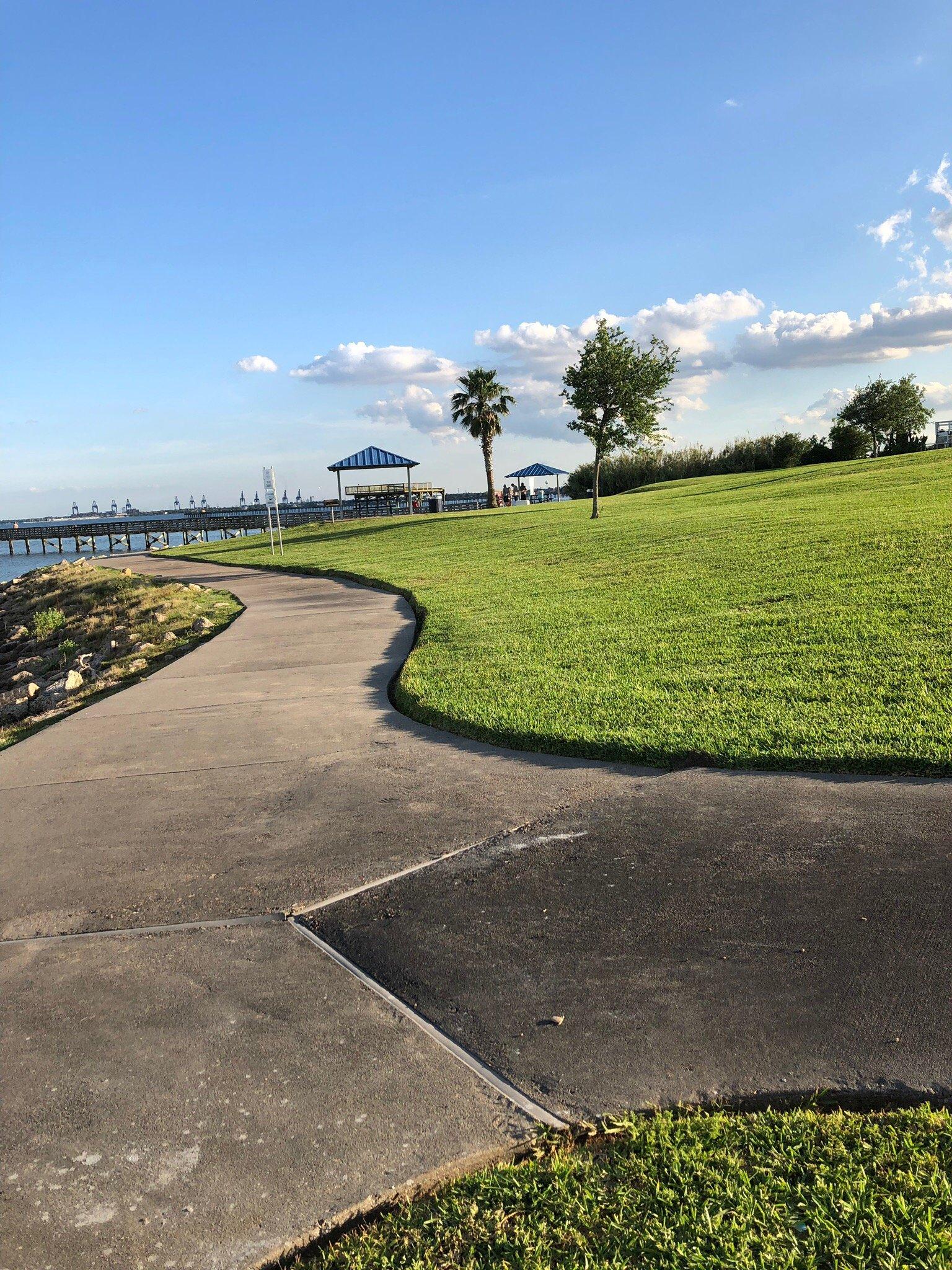
Beyond its historical attractions, La Porte offers a variety of recreational opportunities. Sylvan Beach Park is a popular destination for both locals and tourists, featuring a sandy beach, picnic areas, and fishing piers along the calm waters of Galveston Bay. The city also hosts annual events like the Sylvan Beach Festival, which celebrates its coastal charm with music, food, and family-friendly activities. La Porte's blend of historical significance and coastal allure makes it a noteworthy destination for those exploring the diverse landscapes of Texas.
Nearby cities include: Morgan's Point, TX, Shoreacres, TX, Deer Park, TX, El Lago, TX, Seabrook, TX, Baytown, TX, Pasadena, TX, Clear Lake Shores, TX, Kemah, TX, Nassau Bay, TX.
Places in La Porte
Dine and drink
Eat and drink your way through town.
Can't-miss activities
Culture, natural beauty, and plain old fun.
Places to stay
Hang your (vacation) hat in a place that’s just your style.
Advertisement


