La Marque, TX
Advertisement
La Marque, TX Map
La Marque is a US city in Galveston County in the state of Texas. Located at the longitude and latitude of -94.973889, 29.366667 and situated at an elevation of 5 meters. In the 2020 United States Census, La Marque, TX had a population of 18,030 people. La Marque is in the Central Standard Time timezone at Coordinated Universal Time (UTC) -6. Find directions to La Marque, TX, browse local businesses, landmarks, get current traffic estimates, road conditions, and more.
La Marque, Texas, is known for its rich historical roots and its strategic location near the Gulf Coast, offering a blend of small-town charm and proximity to larger urban centers. The city has a deep historical significance that dates back to its establishment in the late 19th century, originally known as Highlands before being renamed La Marque, meaning "The Mark" in French. This name reflects its role as a pivotal point for travelers in earlier times. Over the years, La Marque has grown while maintaining a tight-knit community atmosphere.
Visitors to La Marque can explore a variety of attractions, including the popular Gulf Greyhound Park, which, although it ceased live racing, remains a notable venue for events and entertainment. The city's proximity to scenic areas allows for easy access to outdoor activities, with Galveston Bay nearby offering ample opportunities for fishing and boating. Additionally, La Marque's annual events and local parks provide a welcoming environment for both residents and visitors to enjoy community gatherings and recreational activities. The city's commitment to preserving its history while fostering growth makes it a unique destination in the heart of Texas.
Nearby cities include: Hitchcock, TX, Texas City, TX, Bayou Vista, TX, Tiki Island, TX, Santa Fe, TX, Dickinson, TX, Bacliff, TX, Bayview, TX, Galveston, TX, League City, TX.
Places in La Marque
Dine and drink
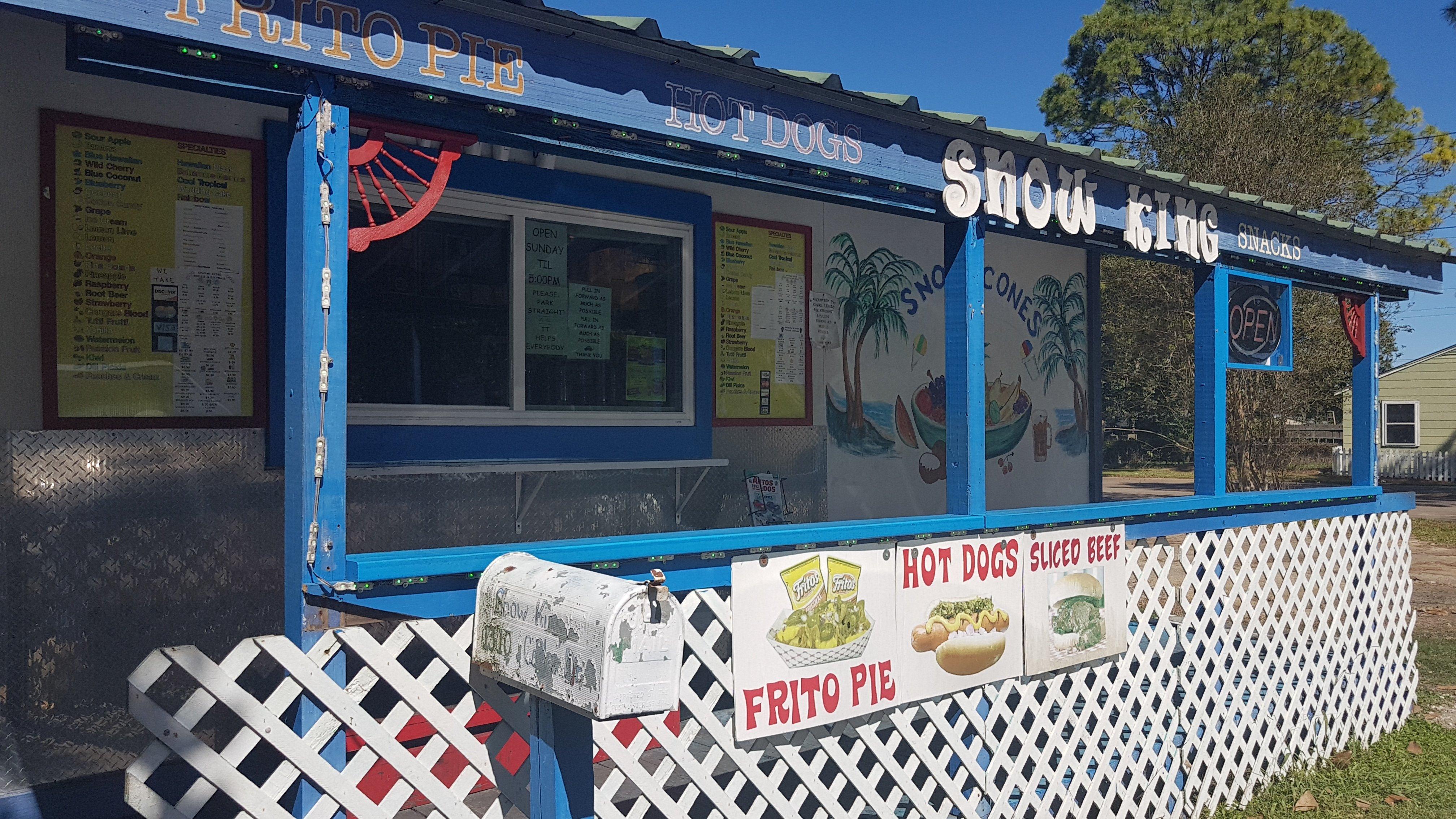
Eat and drink your way through town.
Can't-miss activities
Culture, natural beauty, and plain old fun.
Places to stay
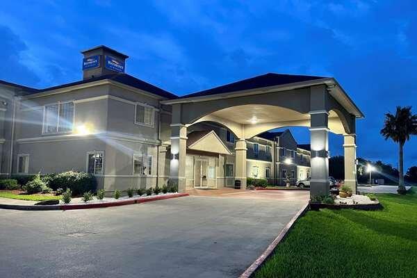
Hang your (vacation) hat in a place that’s just your style.
Advertisement


