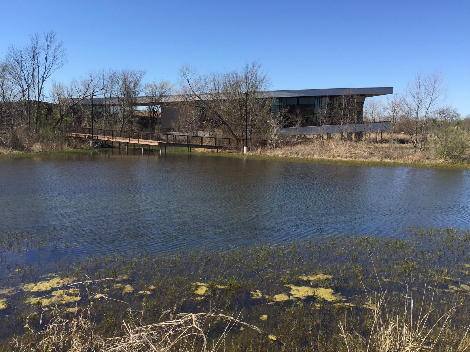
Hutchins, TX
Advertisement
Hutchins, TX Map
Hutchins is a US city in Dallas County in the state of Texas. Located at the longitude and latitude of -96.707500, 32.643900 and situated at an elevation of 142 meters. In the 2020 United States Census, Hutchins, TX had a population of 5,607 people. Hutchins is in the Central Standard Time timezone at Coordinated Universal Time (UTC) -6. Find directions to Hutchins, TX, browse local businesses, landmarks, get current traffic estimates, road conditions, and more.
Hutchins, located in Texas, is a small city that offers a glimpse into the quieter side of life while still being relatively close to the bustling urban environment of Dallas. Historically, Hutchins developed as a railroad town, which played a significant role in its growth and economic foundation. The city is known for its community-oriented atmosphere and its commitment to maintaining a balance between development and preserving its local charm. Visitors and residents alike can enjoy the local parks, such as Campbell Park, which provides a serene setting for outdoor activities and family gatherings.
While Hutchins may not be widely recognized for major tourist attractions, it is appreciated for its contribution to the regional industrial landscape, hosting several distribution centers and businesses that support the local economy. For those interested in local history, the Hutchins Public Library offers resources and insights into the city's past. Although small, Hutchins' strategic location makes it a convenient stop for travelers exploring the greater Dallas area, offering a peaceful retreat from the city's hustle and bustle.
Nearby cities include: Wilmer, TX, Lancaster, TX, Balch Springs, TX, Ferris, TX, Seagoville, TX, Red Oak, TX, Glenn Heights, TX, Shamrock, TX, Dallas, TX, Mesquite, TX.
Places in Hutchins
Dine and drink
Eat and drink your way through town.
Can't-miss activities
Culture, natural beauty, and plain old fun.
Places to stay
Hang your (vacation) hat in a place that’s just your style.
Advertisement


