Channelview, TX
Advertisement
Channelview, TX Map
Channelview is a US city in Harris County in the state of Texas. Located at the longitude and latitude of -95.122222, 29.786667 and situated at an elevation of 9 meters. In the 2020 United States Census, Channelview, TX had a population of 45,688 people. Channelview is in the Central Standard Time timezone at Coordinated Universal Time (UTC) -6. Find directions to Channelview, TX, browse local businesses, landmarks, get current traffic estimates, road conditions, and more.
Channelview, Texas, is a modest yet historically rich community located along the Houston Ship Channel. Known primarily for its industrial roots, the city has been a significant player in the petrochemical industry, drawing upon its strategic location near this major waterway. Although it doesn't boast the bustling attractions of larger Texan cities, Channelview offers a unique glimpse into the state's industrial backbone, providing a contrasting perspective to the more commercialized narratives of Texas.
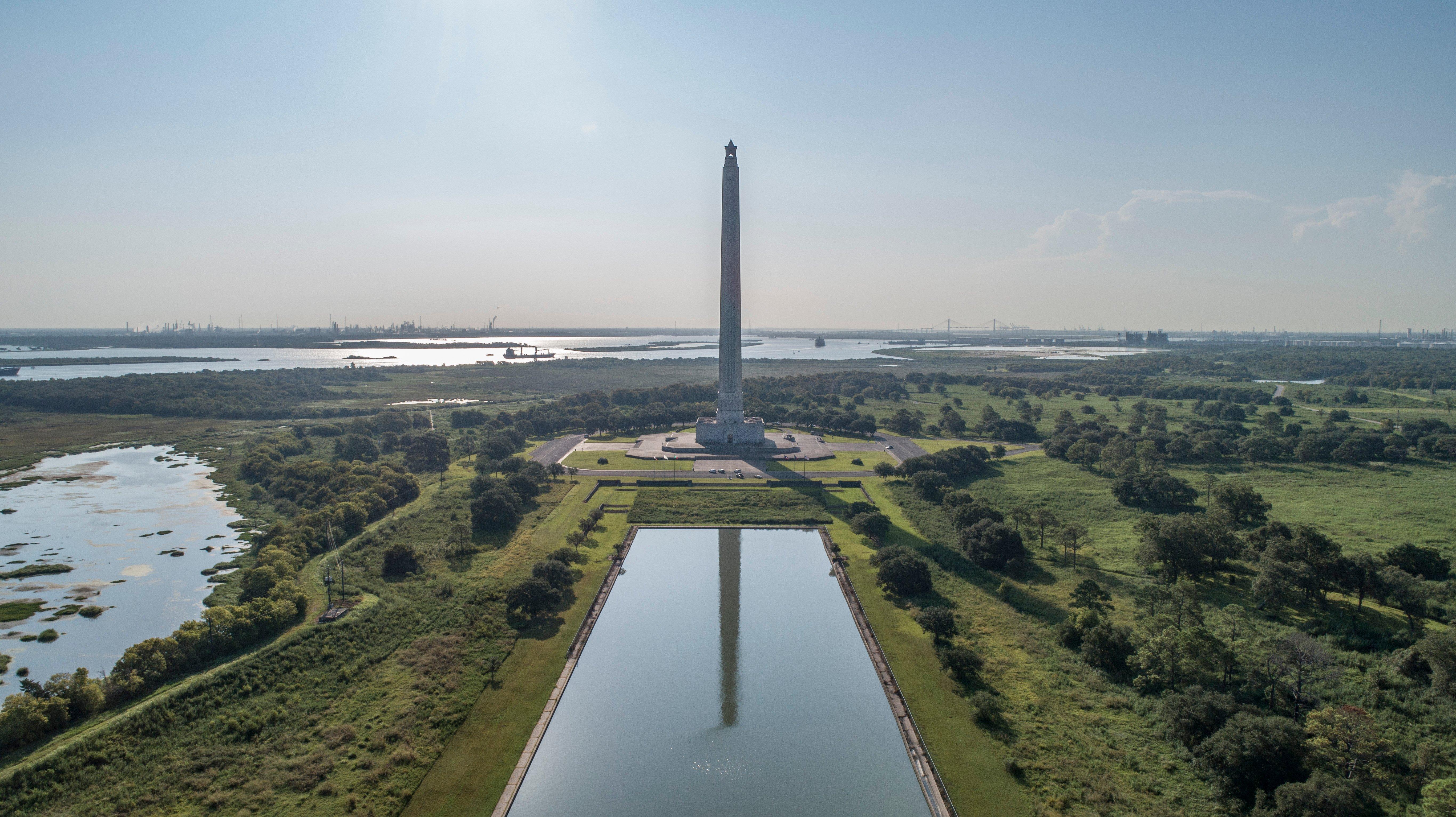
Visitors to Channelview often find themselves exploring the San Jacinto Battleground State Historic Site, which is located nearby and is the site of the Battle of San Jacinto, a pivotal event in Texas history. The Lynchburg Ferry, one of the oldest operating ferries in Texas, offers a historical mode of transportation across the San Jacinto River and serves as a charming reminder of the area's past. While Channelview may not be a traditional tourist destination, its industrial charm and historical connections offer a distinctive experience for those interested in the less-traveled paths of Texas history.
Nearby cities include: Highlands, TX, Deer Park, TX, Jacinto City, TX, Galena Park, TX, Pasadena, TX, Crosby, TX, La Porte, TX, Baytown, TX, Morgan's Point, TX, South Houston, TX.
Places in Channelview
Dine and drink
Eat and drink your way through town.
Can't-miss activities
Culture, natural beauty, and plain old fun.
Places to stay
Hang your (vacation) hat in a place that’s just your style.
Advertisement


