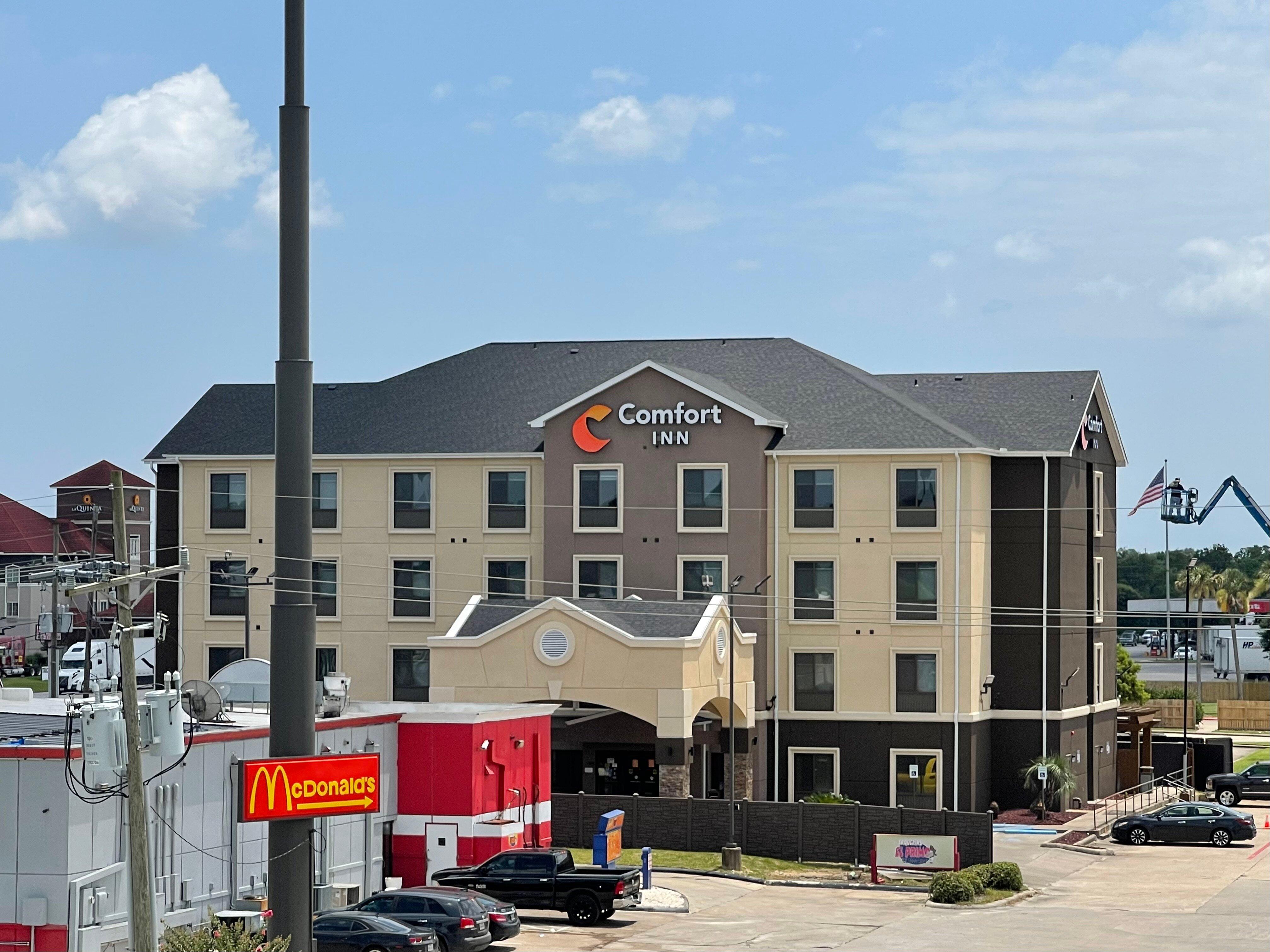
Bridge City, TX
Advertisement
Bridge City Map
Bridge City is a city in Orange County, Texas, United States. The population was 8,651 at the 2000 census. The town borders the Neches River and Cow Bayou. It is part of the Beaumont–Port Arthur Metropolitan Statistical Area.
The city was originally named Prairie View, as it was located on the coastal grasslands of the upper Texas coastline. But in 1938, the Port Arthur-Orange Bridge (now known as the Rainbow Bridge) was built, and the unincorporated area took on the name "Bridge City". Despite several previous attempts, the city did not incorporate until 1970.
Bridge City got its name from the fact that one has to cross a bridge to enter the city. Out of the three major roads that enter Bridge City, Chemical Road, SH 87, and F.M. 1442 - all of them cross a body of water. SH 87 crosses the Neches River and Cow Bayou - Cow Bayou on the Orange side and the Neches River on the Port Arthur side. Chemical Road crosses a branch off of the Sabine River and Cow Bayou. F.M. 1442 crosses a small creek off Cow Bayou between F.M. 105 and the Bridge City City limits. F.M. 1442 also crosses Cow Bayou just north of Orangefield and south of Interstate 10.
Nearby cities include Nederland, Vidor, Mauriceville, Port Arthur, Beaumont.
Places in Bridge City
Dine and drink
Eat and drink your way through town.
Can't-miss activities
Culture, natural beauty, and plain old fun.
Places to stay
Hang your (vacation) hat in a place that’s just your style.
Advertisement


