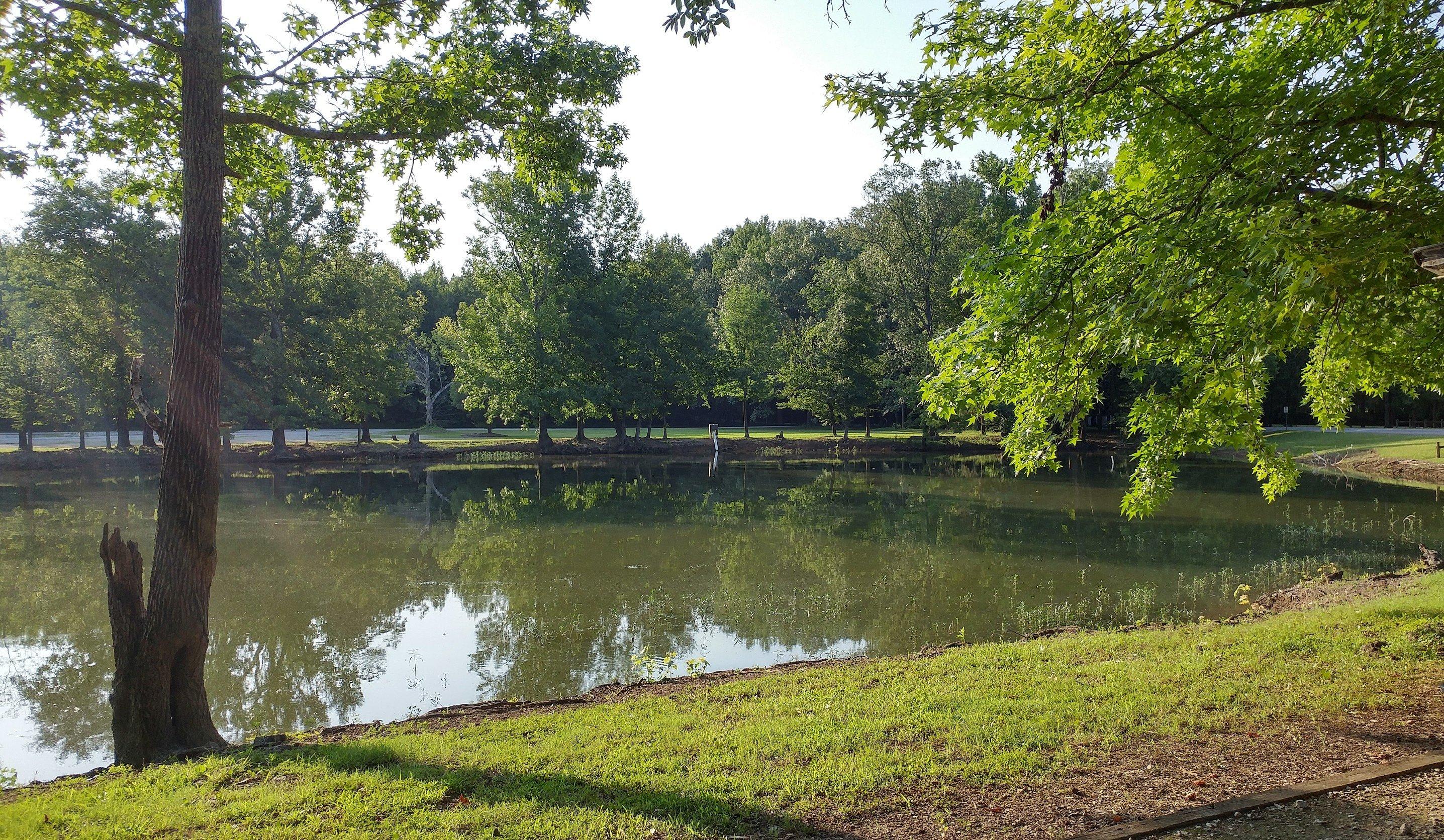
Decaturville, TN
Advertisement
Decaturville, TN Map
Decaturville is a US city in Decatur County in the state of Tennessee. Located at the longitude and latitude of -88.121944, 35.583056 and situated at an elevation of 158 meters. In the 2020 United States Census, Decaturville, TN had a population of 807 people. Decaturville is in the Central Standard Time timezone at Coordinated Universal Time (UTC) -6. Find directions to Decaturville, TN, browse local businesses, landmarks, get current traffic estimates, road conditions, and more.
Decaturville, Tennessee, is a small town that offers a quintessential slice of Southern charm and history. Known primarily for its serene rural landscapes and tight-knit community, Decaturville provides visitors with a peaceful retreat from the hustle and bustle of city life. The town's history is deeply rooted in its agricultural past, and it continues to celebrate this heritage through various local events and festivals. Visitors to Decaturville can explore the town's history at the Decatur County Museum, which showcases artifacts and stories from the area's past, offering insights into the lives of the early settlers and the evolution of the community.
Popular spots in Decaturville include the scenic Tennessee River, which provides ample opportunities for fishing, boating, and picnicking along its banks. For those interested in outdoor activities, the nearby Natchez Trace State Park offers hiking trails and camping sites, making it a favorite destination for nature enthusiasts. The town also boasts charming local eateries and shops that reflect the warm hospitality of its residents. Decaturville's quiet allure makes it an ideal spot for those seeking a relaxing getaway in a region rich with history and natural beauty.
Nearby cities include: Parsons, TN, Darden, TN, Scotts Hill, TN, Mount Carmel, TN, Sardis, TN, Saltillo, TN, Saltillo, TN, Clifton, TN, Linden, TN, Lexington, TN.
Places in Decaturville
Dine and drink
Eat and drink your way through town.
Places to stay
Hang your (vacation) hat in a place that’s just your style.
Advertisement


