Altamont, TN
Advertisement
Altamont Map
Altamont is a town in Grundy County, Tennessee, United States. The population was 1,136 at the 2000 census. It is the county seat of Grundy County.
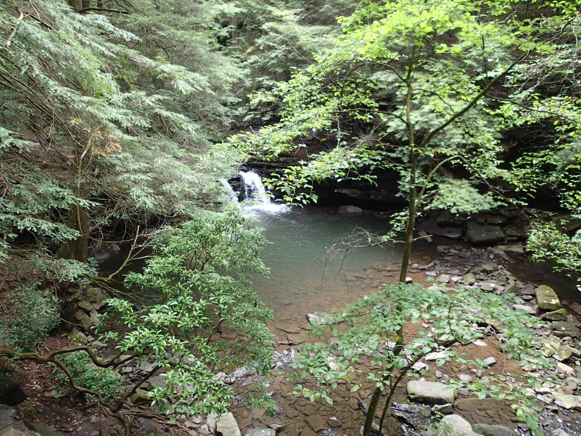
Altamont is located at 35°26?2?N 85°43?57?W / 35.43389°N 85.7325°W / 35.43389; -85.7325 (35.433954, -85.732428). The town is situated atop the southern Cumberland Plateau between the plateau's Highland Rim escarpment to the west and Savage Gulf to the east. The latter is a scenic gorge sliced by the upper watershed of the Collins River (Altamont is part of this watershed) as the river descends from the plateau to the Highland Rim en route to its mouth at the Caney Fork in adjacent Warren County. Altamont is surrounded by hills on all sides, and the central area of the town itself straddles a flattened-out hillslope.
Several state highways intersect near the center of Altamont. Tennessee Highway 56 (Main Street) connects Altamont to Beersheba Springs and McMinnville to the north and Monteagle to the south. Tennessee Highway 108, which merges with TN-56 in Altamont, connects the town to Viola to the west and Chattanooga to the southeast. Tennessee Highway 50 connects Altamont to Pelham and Interstate 24 to the southwest.
Nearby cities include Palmer, Viola, Tracy City, Hillsboro, Monteagle.
Places in Altamont
Dine and drink
Eat and drink your way through town.
Can't-miss activities
Culture, natural beauty, and plain old fun.
Places to stay
Hang your (vacation) hat in a place that’s just your style.
Advertisement


