Zavalla, TX
Advertisement
Zavalla, TX Map
Zavalla is a US city in Angelina County in the state of Texas. Located at the longitude and latitude of -94.417778, 31.157222 and situated at an elevation of 68 meters. In the 2020 United States Census, Zavalla, TX had a population of 603 people. Zavalla is in the Central Standard Time timezone at Coordinated Universal Time (UTC) -6. Find directions to Zavalla, TX, browse local businesses, landmarks, get current traffic estimates, road conditions, and more.
Zavalla, located in the state of Texas, is a small city renowned for its proximity to the vast and scenic Angelina National Forest. This natural expanse offers an array of outdoor activities, making Zavalla a favored destination for nature enthusiasts. Visitors can explore hiking trails, engage in bird watching, or enjoy fishing and boating on the Sam Rayburn Reservoir, one of the largest lakes in Texas, which lies just to the north of the city. The area's rich biodiversity and serene landscapes provide an ideal backdrop for camping and picnicking, attracting both locals and tourists seeking a peaceful retreat.
Historically, Zavalla has its roots in the lumber industry, which played a significant role in its development. Over time, the city has evolved, but it retains a rustic charm that reflects its heritage. Although Zavalla may not boast a bustling urban center, it is home to several local businesses and eateries that offer a taste of authentic Texan hospitality. These establishments, along with the city's community events, contribute to a warm and inviting atmosphere that makes Zavalla a unique stop in the heart of East Texas.
Nearby cities include: Huntington, TX, Broaddus, TX, Colmesneil, TX, Chester, TX, Burke, TX, Diboll, TX, Lufkin, TX, Chireno, TX, Hudson, TX, Browndell, TX.
Places in Zavalla
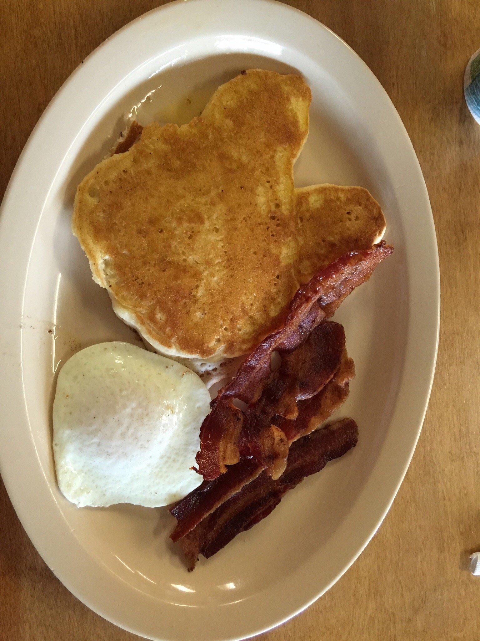
Dine and drink
Eat and drink your way through town.
Can't-miss activities
Culture, natural beauty, and plain old fun.
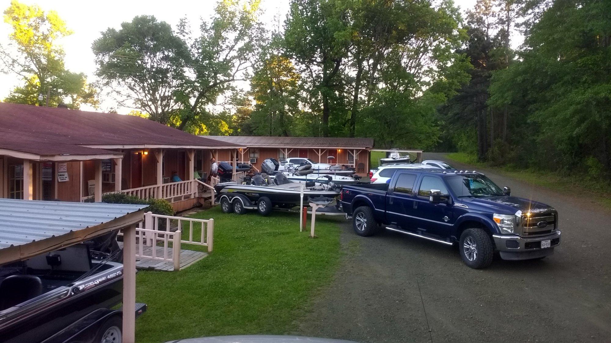
Places to stay
Hang your (vacation) hat in a place that’s just your style.
Advertisement


