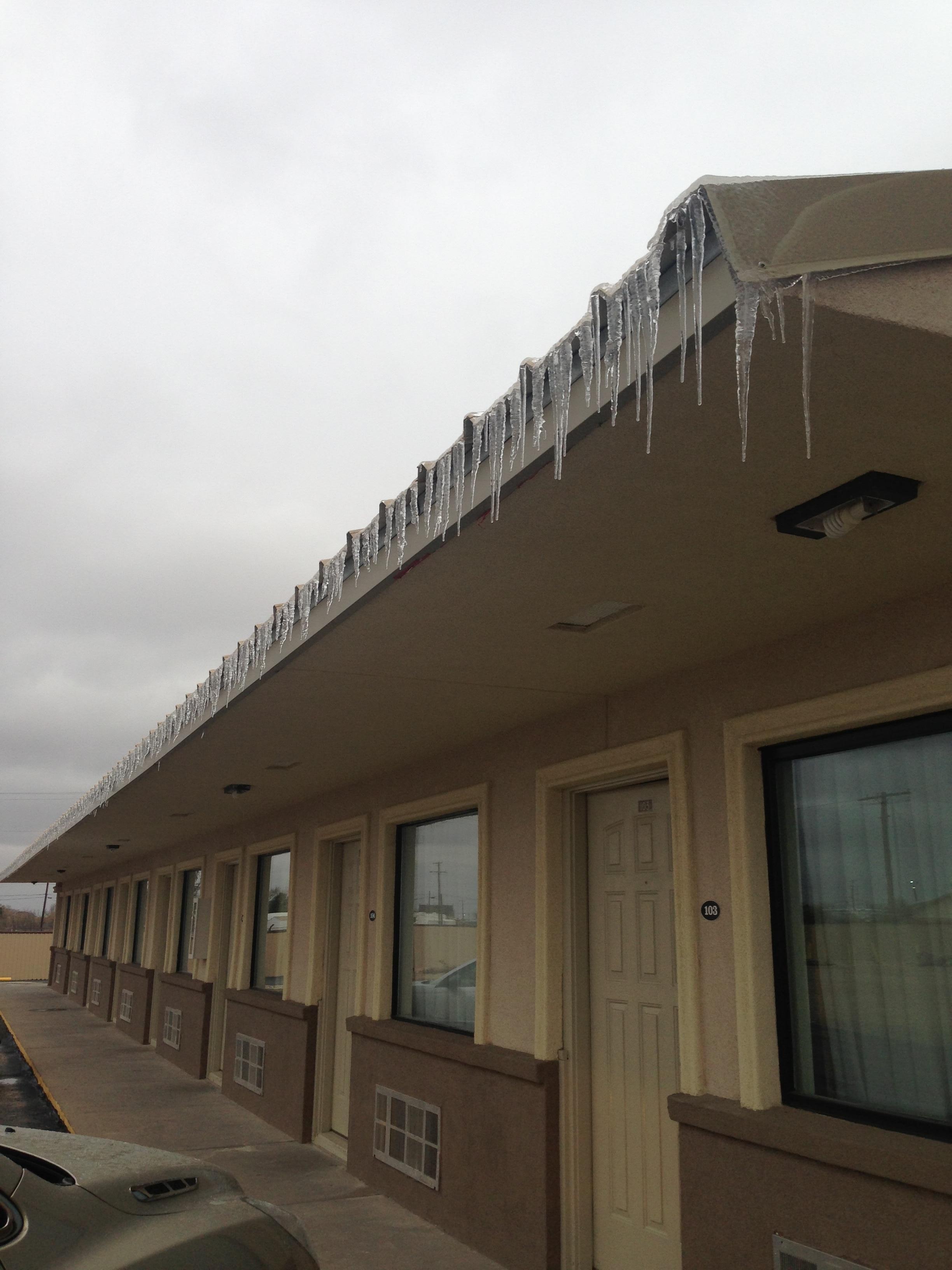
Wickett, TX
Advertisement
Wickett, TX Map
Wickett is a US city in Ward County in the state of Texas. Located at the longitude and latitude of -103.007000, 31.569200 and situated at an elevation of 813 meters. In the 2020 United States Census, Wickett, TX had a population of 422 people. Wickett is in the Central Standard Time timezone at Coordinated Universal Time (UTC) -6. Find directions to Wickett, TX, browse local businesses, landmarks, get current traffic estimates, road conditions, and more.
Wickett, Texas, is a small town with a distinct charm that captures the essence of West Texas life. Known primarily for its close-knit community and oil industry roots, Wickett serves as a reminder of the region's historical ties to the energy sector. The town's landscape is dotted with pump jacks and oil rigs, providing a backdrop that speaks to its industrial heritage. While Wickett may not boast a plethora of tourist attractions, its unassuming nature and warm hospitality offer a genuine experience of small-town Texas.
One of the notable places in Wickett is its local community center, which often hosts events and gatherings that bring residents together, reflecting the town's strong sense of community. Visitors might also enjoy exploring the surrounding natural landscapes, which provide opportunities for outdoor activities such as hiking and bird watching. Wickett's history is closely linked to the development of the oil industry in Texas, and this legacy is evident in the town's ongoing connection to oil production. While it may not be a bustling metropolis, Wickett offers a slice of authentic Texan life that is both inviting and historically rich.
Nearby cities include: Thorntonville, TX, Monahans, TX, Wink, TX, Grandfalls, TX, Kermit, TX, Coyanosa, TX, Barstow, TX, Imperial, TX, Pecos, TX, Lindsay, TX.
Places in Wickett
Can't-miss activities
Culture, natural beauty, and plain old fun.
Places to stay
Hang your (vacation) hat in a place that’s just your style.
Advertisement


