Rosanky, TX
Advertisement
Rosanky, TX Map
Rosanky is a US city in Bastrop County in the state of Texas. Located at the longitude and latitude of -97.293600, 29.929400 and situated at an elevation of 154 meters. In the 2020 United States Census, Rosanky, TX had a population of 1,473 people. Rosanky is in the Central Standard Time timezone at Coordinated Universal Time (UTC) -6. Find directions to Rosanky, TX, browse local businesses, landmarks, get current traffic estimates, road conditions, and more.
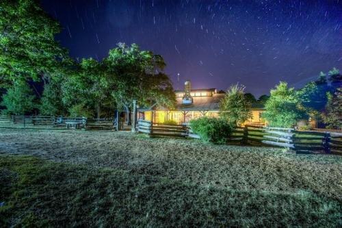
Rosanky, Texas, is a small, unincorporated community known for its tranquil rural charm and a rich sense of history. Visitors to Rosanky often find themselves drawn to the Rosanky Antique Farm and Ranch Museum, which offers a fascinating glimpse into the agricultural past of Texas with its extensive collection of vintage tractors and farming equipment. This museum serves as a testament to the area's deep-rooted connection to farming and ranching, offering a nostalgic journey through the evolution of rural life.
While Rosanky might not boast the bustling attractions of a larger city, it is a place where the quiet beauty of the Texas countryside can be fully appreciated. The community's serene environment makes it an ideal spot for those looking to enjoy a slower pace and the simple pleasures of country life. The history of Rosanky is closely tied to the settlement patterns of Texas, with its origins dating back to the late 19th century when it was established as a stop on the San Antonio and Aransas Pass Railway. This historical backdrop adds a layer of depth to the experience of visiting this quaint Texan locale.
Nearby cities include: Red Rock, TX, Smithville, TX, Bastrop, TX, Muldoon, TX, Waelder, TX, Circle D-KC Estates, TX, Cedar Creek, TX, Flatonia, TX, Paige, TX, Harwood, TX.
Places in Rosanky
Dine and drink
Eat and drink your way through town.
Can't-miss activities
Culture, natural beauty, and plain old fun.
Places to stay
Hang your (vacation) hat in a place that’s just your style.
Advertisement


