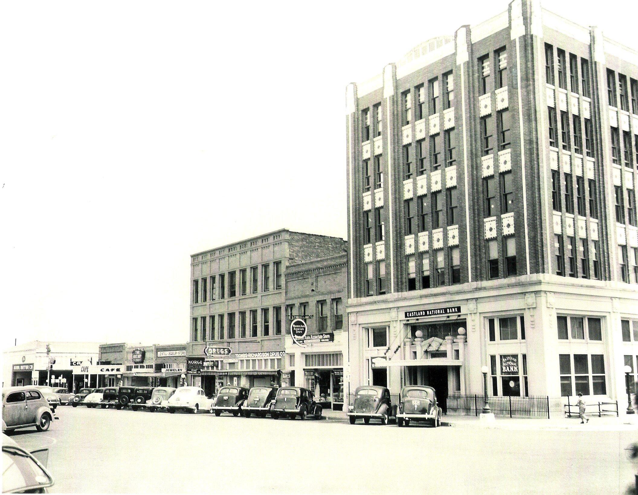
Ranger, TX
Advertisement
Ranger, TX Map
Ranger is a US city in Eastland County in the state of Texas. Located at the longitude and latitude of -98.676700, 32.470000 and situated at an elevation of 438 meters. In the 2020 United States Census, Ranger, TX had a population of 2,300 people. Ranger is in the Central Standard Time timezone at Coordinated Universal Time (UTC) -6. Find directions to Ranger, TX, browse local businesses, landmarks, get current traffic estimates, road conditions, and more.
Ranger, Texas, is a city with a rich history rooted in the oil boom of the early 20th century. Known for its pivotal role during the Texas oil rush, Ranger gained prominence when a significant oil field was discovered in 1917, leading to a population surge and economic prosperity. This historical backdrop is still palpable in the city, with several sites and buildings harking back to its oil-rich past. The Roaring Ranger Museum is a notable attraction, offering visitors a glimpse into the city's storied history and its impact on the region's development.
For those exploring Ranger, the town offers a charming small-town atmosphere where history and community intertwine. Visitors can explore local landmarks such as the historic railroad depot, which showcases the city's transportation heritage. Outdoor enthusiasts might enjoy a visit to nearby Lake Leon, perfect for fishing and picnicking. Ranger College, one of the oldest two-year colleges in Texas, adds an academic flair to the town, hosting various events and contributing to the local culture. Overall, Ranger offers a unique blend of historical intrigue and quaint Texan charm.
Nearby cities include: Eastland, TX, Strawn, TX, Mingus, TX, Carbon, TX, Cisco, TX, Gordon, TX, Breckenridge, TX, De Leon, TX, Santo, TX, Moran, TX.
Places in Ranger
Dine and drink
Eat and drink your way through town.
Can't-miss activities
Culture, natural beauty, and plain old fun.
Places to stay
Hang your (vacation) hat in a place that’s just your style.
Advertisement


