Munday, TX
Advertisement
Munday, TX Map
Munday is a US city in Knox County in the state of Texas. Located at the longitude and latitude of -99.626100, 33.449200 and situated at an elevation of 451 meters. In the 2020 United States Census, Munday, TX had a population of 1,246 people. Munday is in the Central Standard Time timezone at Coordinated Universal Time (UTC) -6. Find directions to Munday, TX, browse local businesses, landmarks, get current traffic estimates, road conditions, and more.
Munday, located in Texas, is a small city that offers a glimpse into the rural charm and history of the Lone Star State. Known for its strong agricultural roots, Munday has a history tied to cotton farming, which has been a significant part of its identity since its founding in the late 19th century. The city hosts the annual Munday Cotton Festival, celebrating this heritage with local crafts, food, and entertainment, drawing visitors from surrounding areas.
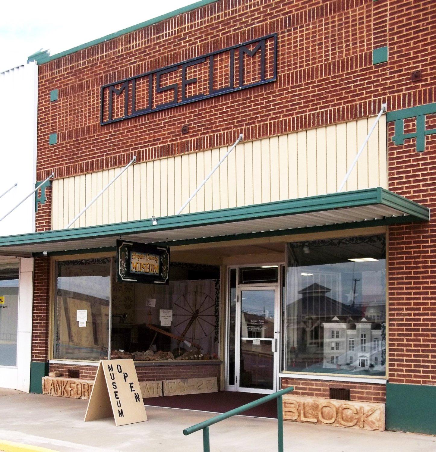
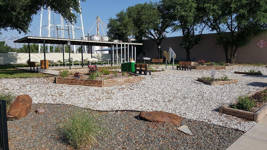
For those exploring Munday, a visit to the Munday Historical Museum is a must, providing insights into the city's past through its collection of artifacts and photographs. The city also features several well-preserved historical buildings that offer a peek into its early days. Additionally, outdoor enthusiasts can enjoy the serene parks around the city, perfect for a leisurely stroll or a picnic. While Munday may not have the bustling attractions of larger cities, its quaint atmosphere and community-focused events provide a unique and authentic Texan experience.
Nearby cities include: Goree, TX, Weinert, TX, Knox City, TX, Benjamin, TX, Rochester, TX, Haskell, TX, Seymour, TX, Rule, TX, Throckmorton, TX, Stamford, TX.
Places in Munday
Dine and drink
Eat and drink your way through town.
Can't-miss activities
Culture, natural beauty, and plain old fun.
Places to stay
Hang your (vacation) hat in a place that’s just your style.
Advertisement


