Menard, TX
Advertisement
Menard, TX Map
Menard is a US city in Menard County in the state of Texas. Located at the longitude and latitude of -99.784440, 30.919440 and situated at an elevation of 574 meters. In the 2020 United States Census, Menard, TX had a population of 1,348 people. Menard is in the Central Standard Time timezone at Coordinated Universal Time (UTC) -6. Find directions to Menard, TX, browse local businesses, landmarks, get current traffic estimates, road conditions, and more.
Menard, Texas, is a small city steeped in history and charm, often recognized for its rich cultural heritage and serene landscapes. One of the city's most notable historical sites is the Presidio de San Sabá, a Spanish fort established in the 18th century, which offers visitors a glimpse into the early European settlement attempts in the region. This historic site is a focal point for those interested in the early interactions between European settlers and Native American tribes. The city is also known for its proximity to the San Saba River, providing picturesque settings for outdoor activities such as fishing and kayaking, making it a quiet haven for nature enthusiasts.
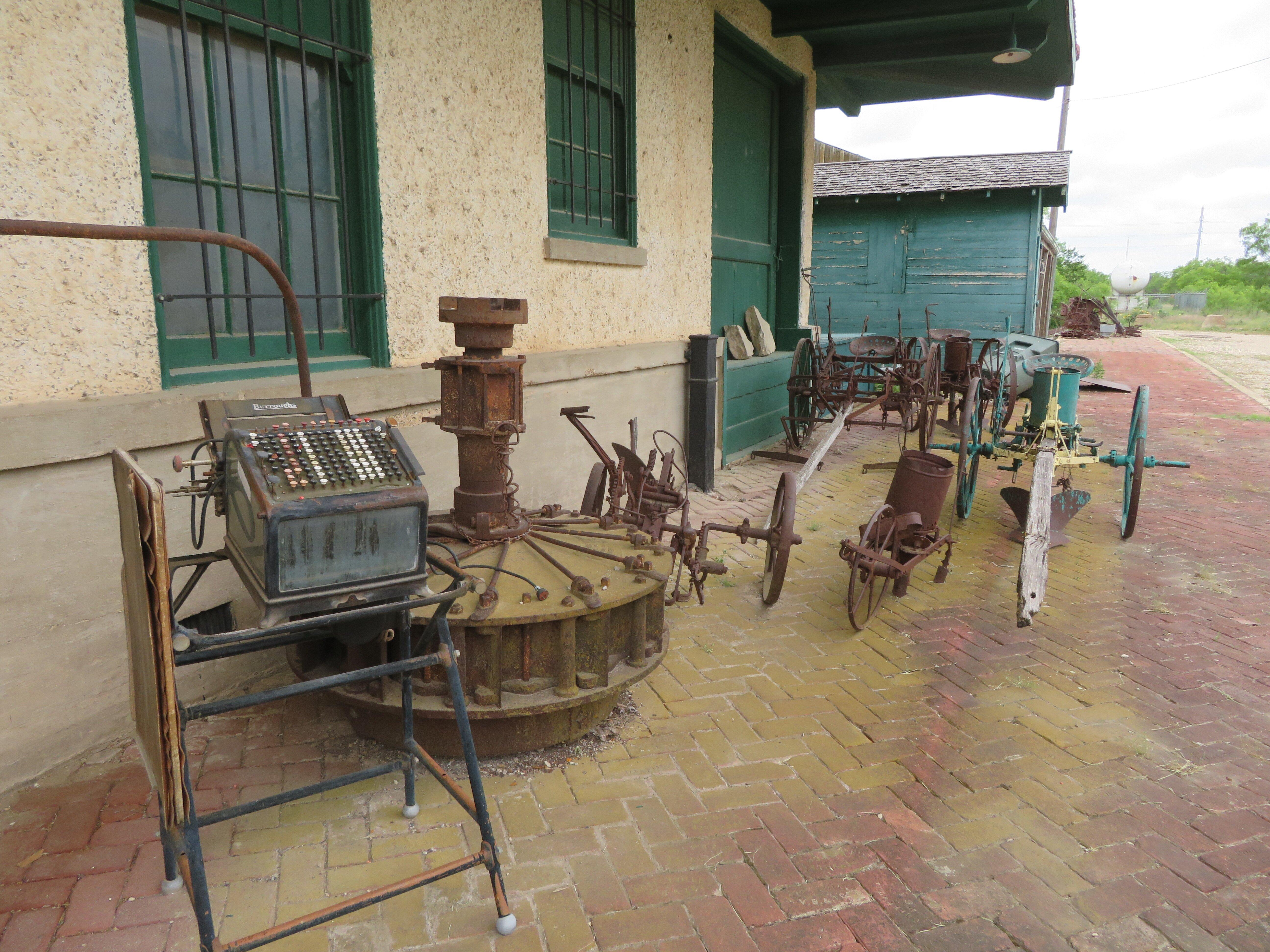
Beyond its historical allure, Menard features a few other attractions that capture the essence of small-town Texas life. The Menardville Museum offers a collection of artifacts and exhibits that chronicle the local history and culture, providing insights into the area's development over the years. For those interested in architecture and local history, a stroll through the Menard Historic District reveals buildings that tell the stories of the city’s past. With its blend of historical significance and natural beauty, Menard stands as a testament to the enduring spirit of the Texan frontier.
Nearby cities include: London, TX, Eden, TX, Melvin, TX, Junction, TX, Brady, TX, Mason, TX, Rochelle, TX, Paint Rock, TX, Christoval, TX, Eldorado, TX.
Places in Menard
Dine and drink
Eat and drink your way through town.
Can't-miss activities
Culture, natural beauty, and plain old fun.
Places to stay
Hang your (vacation) hat in a place that’s just your style.
Advertisement


