McDade, TX
Advertisement
McDade, TX Map
McDade is a US city in Bastrop County in the state of Texas. Located at the longitude and latitude of -97.237778, 30.283889 and situated at an elevation of 168 meters. In the 2020 United States Census, McDade, TX had a population of 720 people. McDade is in the Central Standard Time timezone at Coordinated Universal Time (UTC) -6. Find directions to McDade, TX, browse local businesses, landmarks, get current traffic estimates, road conditions, and more.
McDade, Texas, is a small town with a rich history rooted in the late 19th century. Originally established as a railroad town, McDade became known for its agricultural contributions, particularly in cotton farming. The town's past is marked by the infamous "McDade Christmas Massacre" of 1883, a violent event stemming from local feuds, which has since become a part of its historical narrative. Today, McDade maintains its quaint charm, attracting visitors who are interested in its historical significance and rural Texan culture.
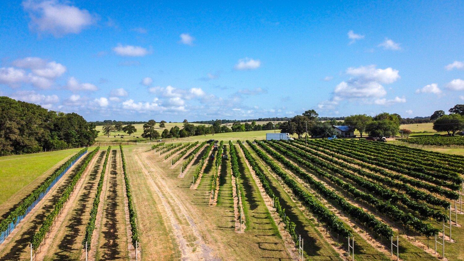
For those exploring McDade, a notable attraction is the McDade Historical Museum, which offers insights into the town's storied past and showcases local artifacts. Another point of interest is the annual McDade Watermelon Festival, a community event that celebrates the town's agricultural heritage with parades, contests, and family-friendly activities. Visitors can also enjoy the scenic views of the surrounding countryside, making McDade a quiet yet intriguing stop for those traveling through central Texas.
Nearby cities include: Circle D-KC Estates, TX, Paige, TX, Elgin, TX, Bastrop, TX, Coupland, TX, Lexington, TX, Webberville, TX, Giddings, TX, Manor, TX, Smithville, TX.
Places in McDade
Dine and drink
Eat and drink your way through town.
Can't-miss activities
Culture, natural beauty, and plain old fun.
Places to stay
Hang your (vacation) hat in a place that’s just your style.
Advertisement


