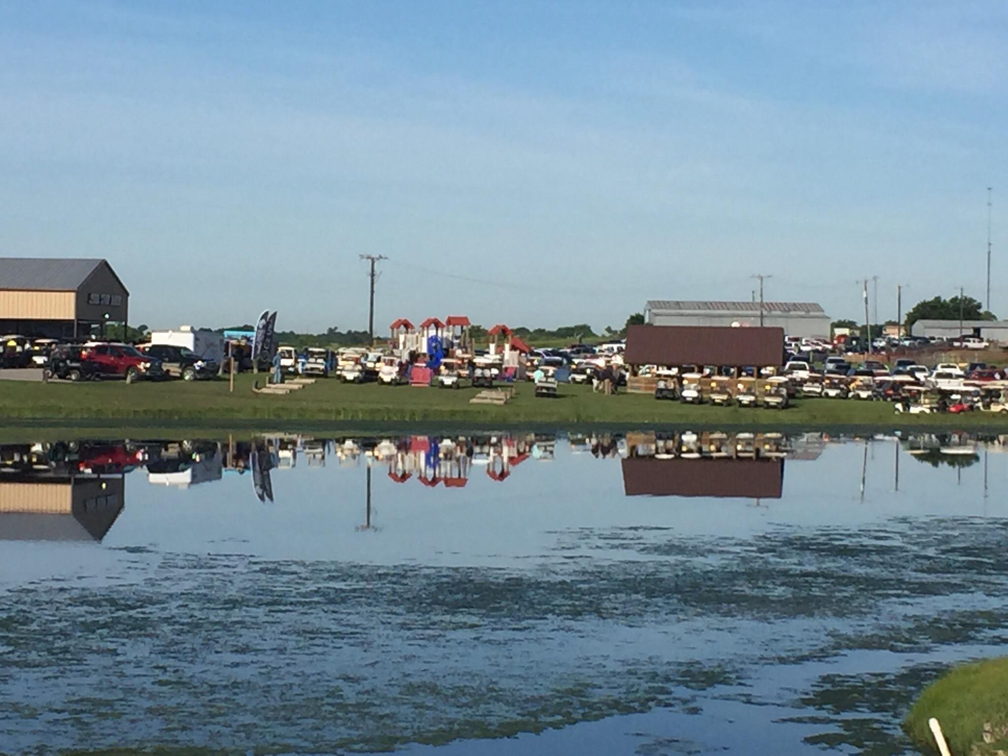
Maypearl, TX
Advertisement
Maypearl, TX Map
Maypearl is a US city in Ellis County in the state of Texas. Located at the longitude and latitude of -97.006670, 32.315560 and situated at an elevation of 162 meters. In the 2020 United States Census, Maypearl, TX had a population of 939 people. Maypearl is in the Central Standard Time timezone at Coordinated Universal Time (UTC) -6. Find directions to Maypearl, TX, browse local businesses, landmarks, get current traffic estimates, road conditions, and more.
Maypearl, Texas, is a quaint city that exudes small-town charm, set amidst the scenic landscapes of North Texas. Known for its tight-knit community and agricultural roots, Maypearl offers a glimpse into the tranquil life of rural Texas while being steeped in rich history. The city is home to a number of historic structures, including the Maypearl Presbyterian Church, which stands as a testament to the town's longstanding heritage. Visitors can enjoy the simple pleasures of the countryside, with rolling fields and picturesque farmlands providing a serene backdrop.
Popular sites within Maypearl include the Maypearl Heritage Park, which serves as a central gathering spot for community events and celebrations, and offers a place where locals and visitors can relax and enjoy the outdoors. The city's historical society often hosts events that highlight the local history and culture, offering a deeper understanding of the area's past. While Maypearl may not boast the attractions of a bustling metropolis, its charm lies in its peaceful atmosphere and the warm hospitality of its residents, making it a unique destination for those seeking a quiet retreat.
Nearby cities include: Plum Grove, TX, Venus, TX, Grandview, TX, Waxahachie, TX, Midlothian, TX, Italy, TX, Nash, TX, Alvarado, TX, Itasca, TX, Milford, TX.
Places in Maypearl
Dine and drink
Eat and drink your way through town.
Can't-miss activities
Culture, natural beauty, and plain old fun.
Places to stay
Hang your (vacation) hat in a place that’s just your style.
Advertisement


