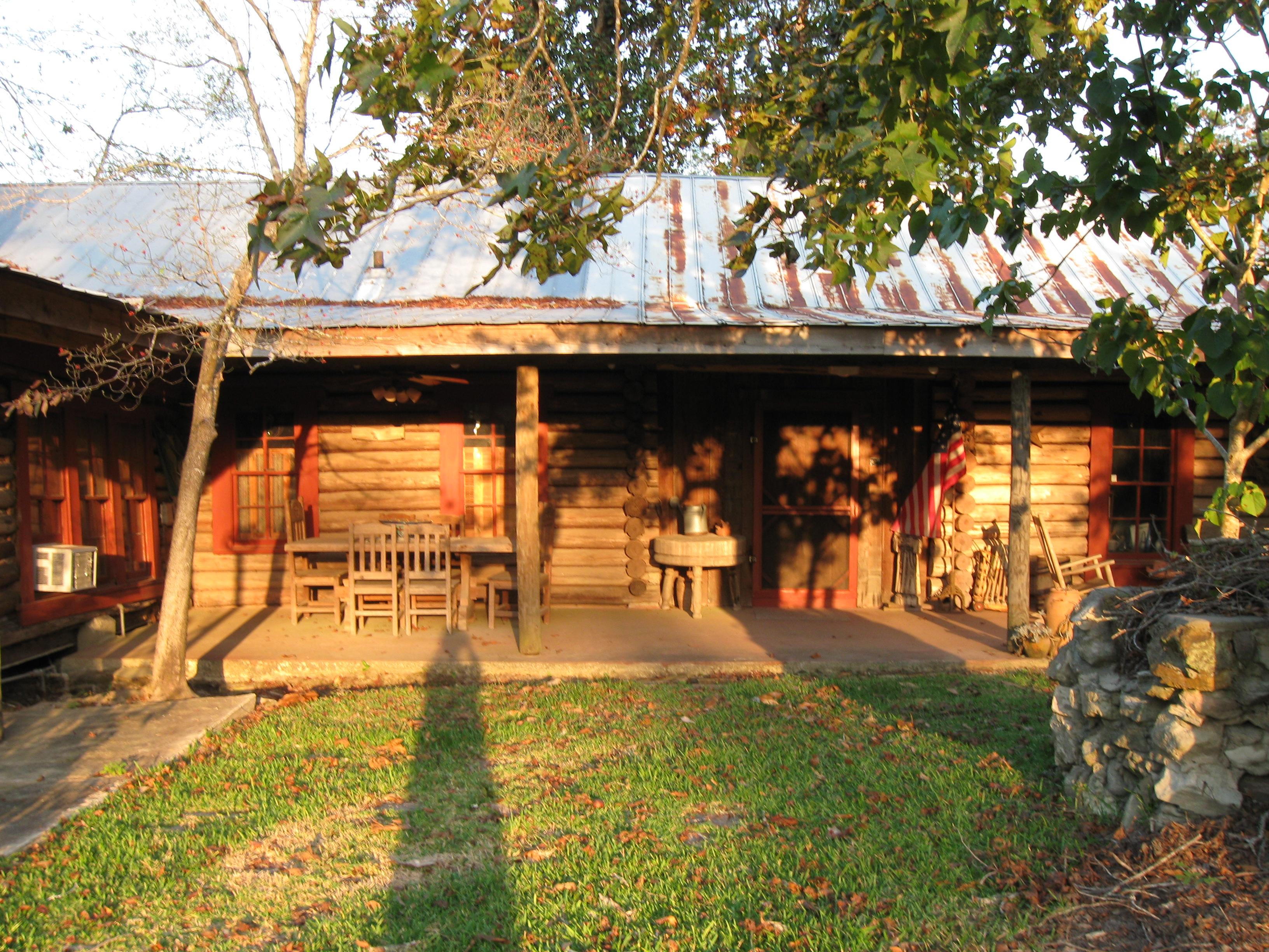
Kountze, TX
Advertisement
Kountze, TX Map
Kountze is a US city in Hardin County in the state of Texas. Located at the longitude and latitude of -94.315278, 30.376667 and situated at an elevation of 26 meters. In the 2020 United States Census, Kountze, TX had a population of 1,981 people. Kountze is in the Central Standard Time timezone at Coordinated Universal Time (UTC) -6. Find directions to Kountze, TX, browse local businesses, landmarks, get current traffic estimates, road conditions, and more.
Kountze, Texas, is often referred to as the "Gateway to the Big Thicket," a nod to its proximity to the Big Thicket National Preserve, a richly biodiverse area that offers a plethora of outdoor activities such as hiking, bird watching, and kayaking. The city serves as a hub for visitors eager to explore the dense forests, swamps, and wildlife of the preserve. Kountze's connection to nature is a key aspect of its identity, making it a popular destination for eco-tourists and nature enthusiasts.
Historically, Kountze has its roots in the late 19th century when it was established as a railroad town. This heritage is still visible in the city's layout and some of its older buildings. Visitors can explore local landmarks like the Kirby-Hill House, a historic mansion that offers a glimpse into the area's past. Additionally, Kountze hosts events such as the annual Texas Barbecue Festival, which showcases the community's vibrant culture and hospitality. Overall, Kountze is a charming city that combines natural beauty with a touch of historical intrigue.
Nearby cities include: Silsbee, TX, Lumberton, TX, Rose Hill Acres, TX, Evadale, TX, Bevil Oaks, TX, Warren, TX, Sour Lake, TX, Buna, TX, Pine Forest, TX, China, TX.
Places in Kountze
Dine and drink
Eat and drink your way through town.
Can't-miss activities
Culture, natural beauty, and plain old fun.
Places to stay
Hang your (vacation) hat in a place that’s just your style.
Advertisement


