Jasper, TX
Advertisement
Jasper Map
Jasper is a city in Jasper County, Texas, on U.S. highways 96 and 190, State Highway 63, and Sandy Creek in north central Jasper County. The population was 8,247 at the 2000 census (2006 estimate-7,465). It is the county seat of Jasper County and is situated in East Texas, specifically the Deep East Texas subregion. Jasper is about 110 miles (180 km) northeast of Houston, and about 72 miles north of Beaumont .
The area was settled around 1824 by John Bevil. 30 families occupied the settlement as early as 1830, when it was known as Snow River or Bevil's Settlement after John R. Bevil one of the earliest European-American settlers.
In 1835 it was renamed for William Jasper, a hero of the American Revolution who was killed attempting to plant the American colors at the storming of Savannah in 1779. Jasper became the county seat in 1844. During the Civil War the town housed a Confederate quartermaster depot and served as a major center for the C.S.A.'s communication, transportation, and supply. Jasper was a Confederate Army headquarters for a nine-county area. Following the war, Union troops occupied Jasper, camping in town square, and led by General George Custer. Antebellum educational institutions included the Jasper Male and Female High School, which operated until 1878, when it became the Southeast Texas Male and Female College, and Jasper Collegiate Institute, which operated from 1851 until 1874. The population declined to 360 in 1870, reflecting the hardships of the Civil War, but by 1885 had risen to 1,000.
Nearby cities include Newton, Kirbyville.
Places in Jasper
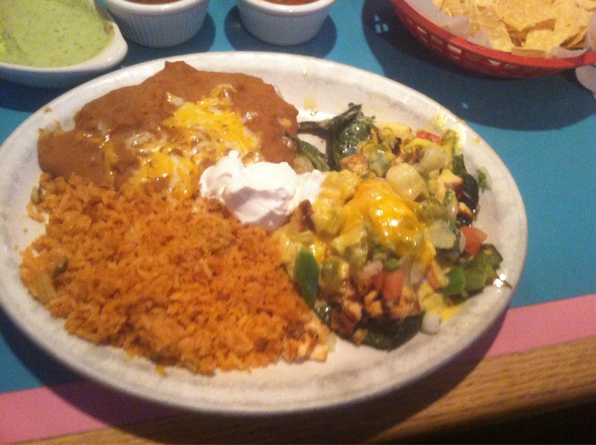
Dine and drink
Eat and drink your way through town.
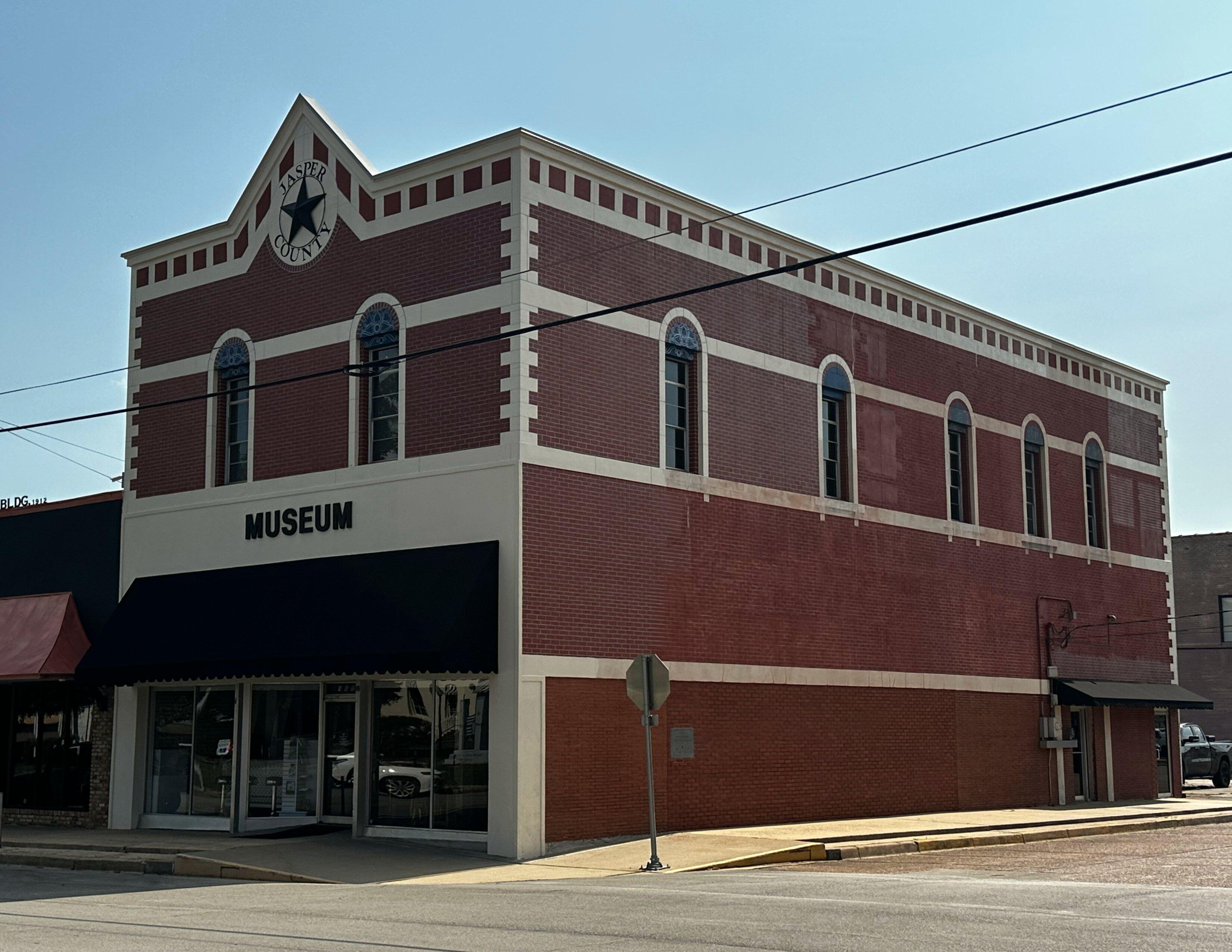
Can't-miss activities
Culture, natural beauty, and plain old fun.
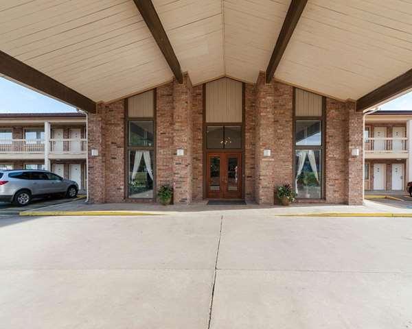
Places to stay
Hang your (vacation) hat in a place that’s just your style.
Advertisement


