Hubbard, TX
Advertisement
Hubbard, TX Map
Hubbard is a US city in Hill County in the state of Texas. Located at the longitude and latitude of -96.797200, 31.847500 and situated at an elevation of 198 meters. In the 2020 United States Census, Hubbard, TX had a population of 1,394 people. Hubbard is in the Central Standard Time timezone at Coordinated Universal Time (UTC) -6. Find directions to Hubbard, TX, browse local businesses, landmarks, get current traffic estimates, road conditions, and more.
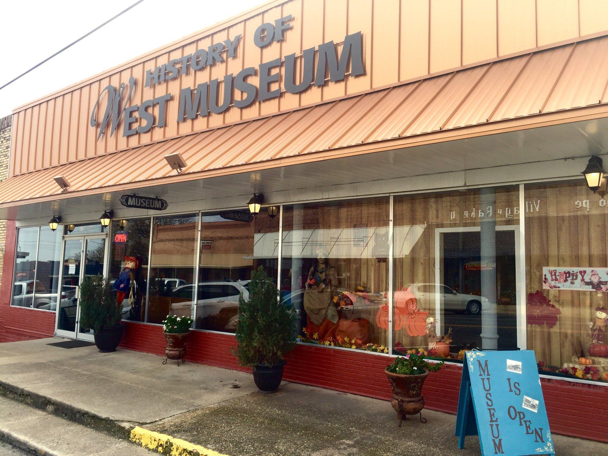
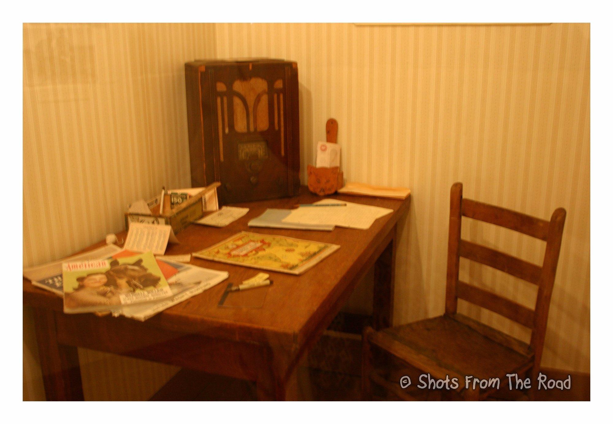
Hubbard, Texas, is a small city with a rich historical tapestry that traces back to its establishment in the late 19th century. Known for its quintessential small-town charm, Hubbard offers a glimpse into Texas's past with its preserved architecture and local stories that are woven into the fabric of the community. The city's history is notably marked by its connection to the cotton industry, which played a significant role in its early economic development. Visitors to Hubbard can explore its history through various local landmarks and the Hubbard City Historical Museum, which houses artifacts and exhibits that tell the story of the area's past.
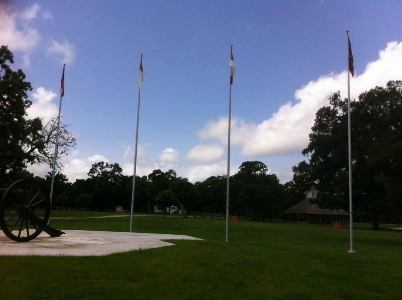
One of the standout attractions in Hubbard is the picturesque Hubbard City Park, which provides an ideal setting for a leisurely stroll or a family picnic. The park is a hub of community activity, hosting events and gatherings throughout the year. Additionally, Hubbard is known for its annual events and festivals that celebrate local culture and bring the community together. While the city may not boast the bustling attractions of a metropolitan area, its quiet streets and friendly atmosphere offer a respite for those looking to experience the slower pace of life in a historic Texas town.
Nearby cities include: Dawson, TX, Malone, TX, Penelope, TX, Mount Calm, TX, Coolidge, TX, Bynum, TX, Leroy, TX, Mertens, TX, Frost, TX, Abbott, TX.
Places in Hubbard
Dine and drink
Eat and drink your way through town.
Can't-miss activities
Culture, natural beauty, and plain old fun.
Places to stay
Hang your (vacation) hat in a place that’s just your style.
Advertisement


