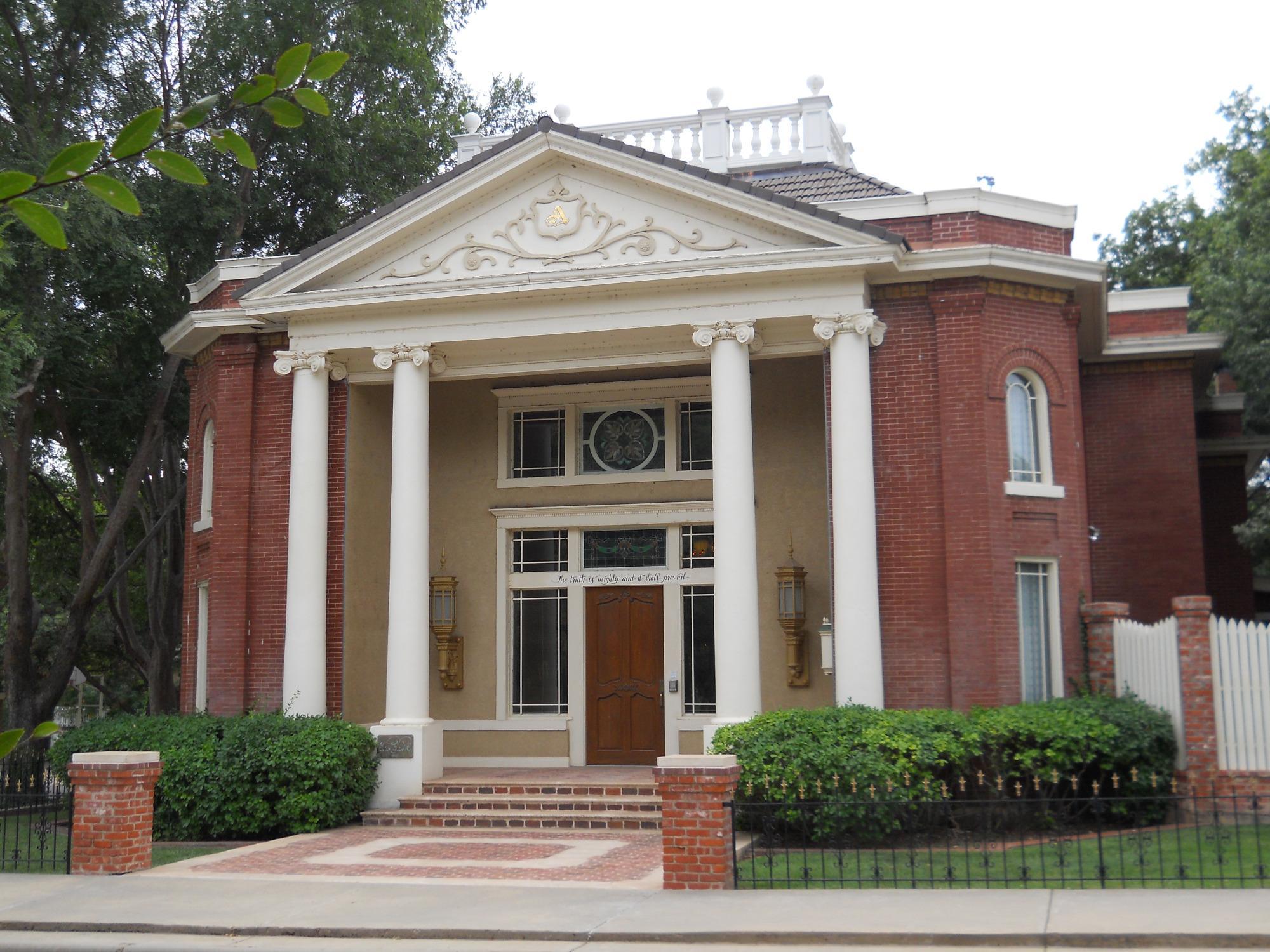
Higgins, TX
Advertisement
Higgins, TX Map
Higgins is a US city in Lipscomb County in the state of Texas. Located at the longitude and latitude of -100.026000, 36.120000 and situated at an elevation of 783 meters. In the 2020 United States Census, Higgins, TX had a population of 356 people. Higgins is in the Central Standard Time timezone at Coordinated Universal Time (UTC) -6. Find directions to Higgins, TX, browse local businesses, landmarks, get current traffic estimates, road conditions, and more.
Higgins, Texas, is a small city with a rich tapestry of history and local charm, offering a glimpse into early 20th-century life on the plains. Founded in the late 1800s, this city is known for its historical significance in the cattle ranching industry, which played a pivotal role in its development. Visitors can explore the remnants of its past, including historic buildings that tell stories of its origins and the pioneering spirit that defined the area. The city embraces its heritage with local museums and historical markers that provide insights into its storied past.
While Higgins may not boast sprawling attractions, it offers a unique experience for those interested in history and small-town charm. The city is also known for its community events that bring residents and visitors together, celebrating local culture and traditions. Outdoor enthusiasts can enjoy the natural beauty of the surrounding landscape, with opportunities for hiking and wildlife observation. Higgins serves as a tranquil retreat, perfect for those seeking a quieter pace and a touch of authentic Texan history.
Nearby cities include: Shattuck, OK, Arnett, OK, Lipscomb, TX, Durham, OK, Gage, OK, Follett, TX, Canadian, TX, Darrouzett, TX, Fargo, OK, Reydon, OK.
Places in Higgins
Dine and drink
Eat and drink your way through town.
Can't-miss activities
Culture, natural beauty, and plain old fun.
Places to stay
Hang your (vacation) hat in a place that’s just your style.
Advertisement


