Henrietta, TX
Advertisement
Henrietta, TX Map
Henrietta is a US city in Clay County in the state of Texas. Located at the longitude and latitude of -98.200000, 33.816667 and situated at an elevation of 278 meters. In the 2020 United States Census, Henrietta, TX had a population of 3,111 people. Henrietta is in the Central Standard Time timezone at Coordinated Universal Time (UTC) -6. Find directions to Henrietta, TX, browse local businesses, landmarks, get current traffic estimates, road conditions, and more.
Henrietta, Texas, is a small city steeped in rich history and a strong sense of community. Known for its charming rural atmosphere, Henrietta offers visitors a glimpse into the region's past with landmarks like the Clay County 1890 Jail Museum. This museum is housed in a historic building and provides insights into the local heritage and law enforcement history. The city is also home to the annual Pioneer Reunion, a traditional event celebrating the area's pioneer spirit with parades, rodeos, and community gatherings. This festival draws visitors from all around, eager to experience the unique blend of history and local culture.
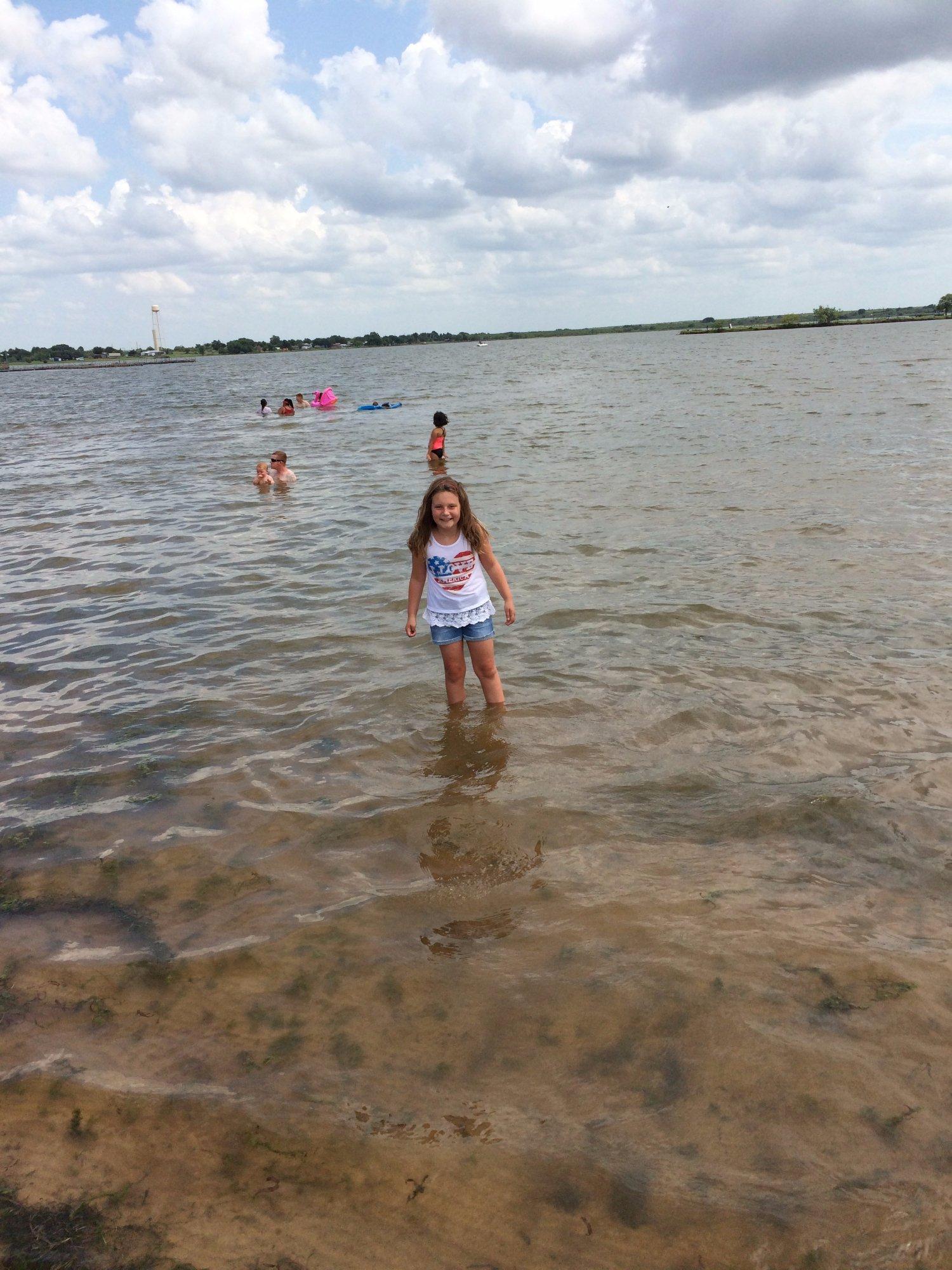
Nature enthusiasts visiting Henrietta can explore the nearby Lake Arrowhead State Park, a popular spot for camping, fishing, and hiking. The park is known for its scenic beauty and offers a peaceful retreat for those looking to escape the hustle and bustle of city life. Additionally, Henrietta's welcoming downtown area features a selection of quaint shops and family-owned restaurants, providing a taste of local hospitality. While it may not be a bustling metropolis, Henrietta's charm lies in its simplicity and the warmth of its community, making it a delightful stop for those exploring Texas.
Nearby cities include: Jolly, TX, Dean, TX, Petrolia, TX, Ringgold, TX, Terral, OK, Bellevue, TX, Byers, TX, Scotland, TX, Wichita Falls, TX, Lakeside City, TX.
Places in Henrietta
Dine and drink
Eat and drink your way through town.
Can't-miss activities
Culture, natural beauty, and plain old fun.
Places to stay
Hang your (vacation) hat in a place that’s just your style.
Advertisement


