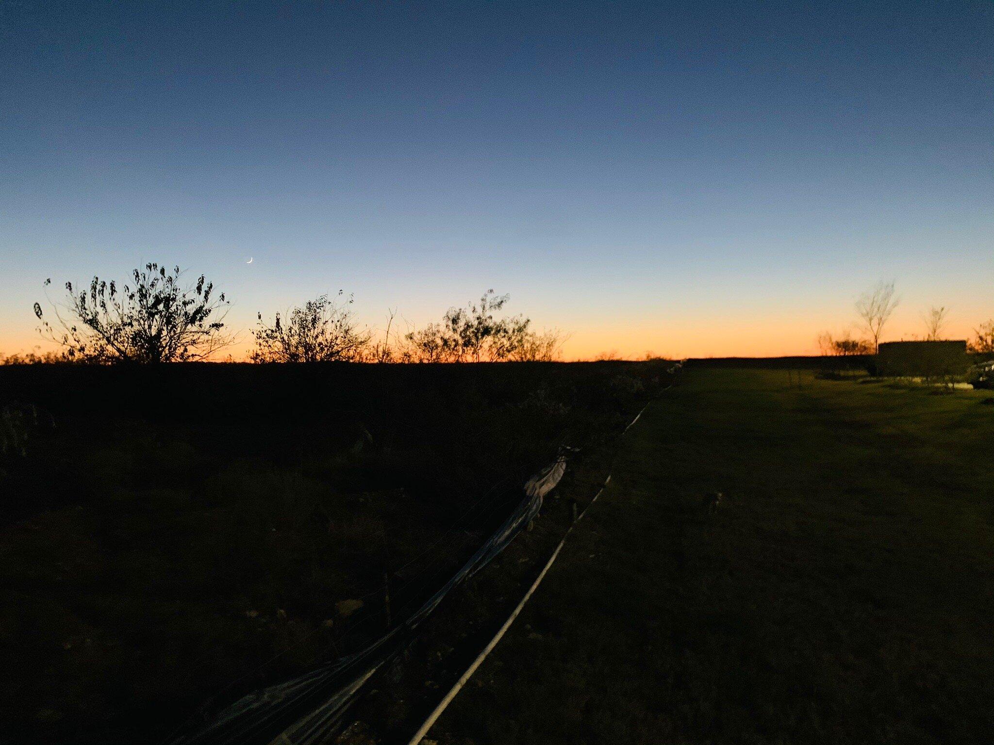
Haslet, TX
Advertisement
Haslet, TX Map
Haslet is a US city in Tarrant County in the state of Texas. Located at the longitude and latitude of -97.340000, 32.959700 and situated at an elevation of 214 meters. In the 2020 United States Census, Haslet, TX had a population of 1,952 people. Haslet is in the Central Standard Time timezone at Coordinated Universal Time (UTC) -6. Find directions to Haslet, TX, browse local businesses, landmarks, get current traffic estimates, road conditions, and more.
Haslet, Texas, is a small city that offers a blend of rural charm and suburban convenience. Known primarily for its tight-knit community and family-friendly atmosphere, Haslet has seen significant growth over the years while maintaining its small-town feel. The city is characterized by its open spaces and a commitment to preserving a peaceful, country living environment. It is also recognized for its annual Wild West Fest, which draws visitors with its parade, live music, and local vendors, showcasing the community's spirit and hospitality.
Among the popular places in Haslet is the Haslet Community Park, which serves as a central hub for outdoor activities, offering walking paths, playgrounds, and sports fields. The park is a favorite spot for families and community events. Additionally, the nearby Cinnamon Creek Ranch provides an opportunity for both seasoned and novice archers to enjoy the sport in a welcoming setting. Historically, Haslet's development was closely tied to the expansion of the railroad in the early 20th century, which established the area as a key agricultural center. Today, while its roots in agriculture are still evident, Haslet has evolved into a desirable locale for those seeking a serene yet accessible lifestyle.
Nearby cities include: Keller, TX, Saginaw, TX, Blue Mound, TX, Roanoke, TX, Westlake, TX, Watauga, TX, Trophy Club, TX, Newark, TX, Justin, TX, Rhome, TX.
Places in Haslet
Dine and drink
Eat and drink your way through town.
Can't-miss activities
Culture, natural beauty, and plain old fun.
Places to stay
Hang your (vacation) hat in a place that’s just your style.
Advertisement


