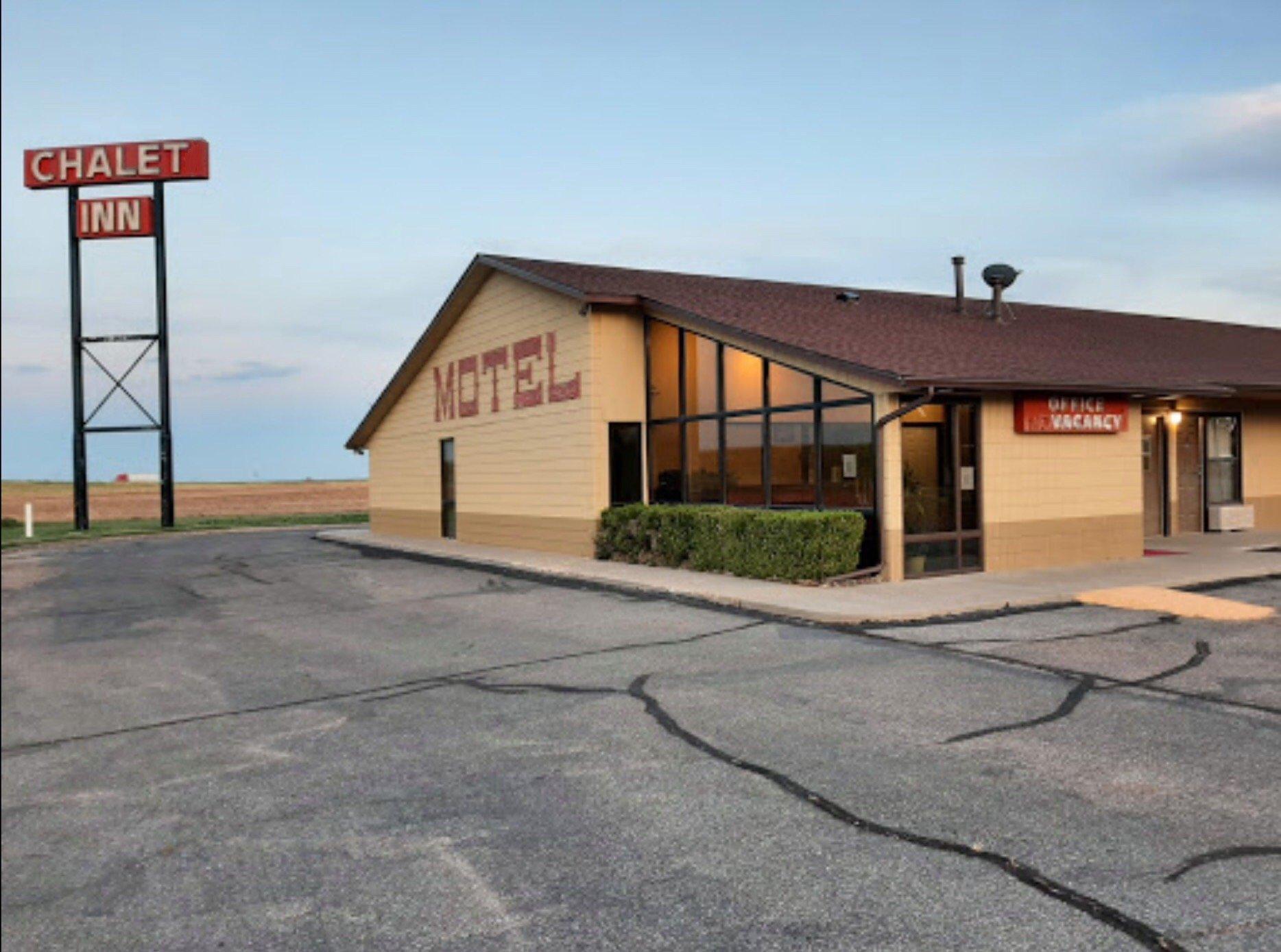
Groom, TX
Advertisement
Groom, TX Map
Groom is a US city in Carson County in the state of Texas. Located at the longitude and latitude of -101.107000, 35.203100 and situated at an elevation of 992 meters. In the 2020 United States Census, Groom, TX had a population of 552 people. Groom is in the Central Standard Time timezone at Coordinated Universal Time (UTC) -6. Find directions to Groom, TX, browse local businesses, landmarks, get current traffic estimates, road conditions, and more.
Groom, Texas, is a small town best known for its striking roadside attraction, the Giant Cross. Officially known as "The Cross of Our Lord Jesus Christ," this towering 190-foot cross is visible from miles away and serves as a significant pilgrimage site and tourist draw. Surrounding the cross are life-sized sculptures depicting the Stations of the Cross, a replica of the Shroud of Turin, and a visitor center that offers further insights into the religious significance of the site. This iconic landmark is a testament to the strong Christian heritage prevalent in the area and draws visitors from across the nation.
Aside from the Giant Cross, Groom is also known for its quirky leaning water tower, a nostalgic nod to the town's past and a favorite photo spot for travelers along Route 66. This tilted structure, once part of a marketing campaign for a truck stop, is a whimsical reminder of the town's history as a waypoint on the historic highway. While Groom may not boast a wide array of attractions, its unique landmarks make it a memorable stop for those exploring the Texas Panhandle and the legendary Route 66.
Nearby cities include: Claude, TX, Howardwick, TX, White Deer, TX, Panhandle, TX, Alanreed, TX, Clarendon, TX, Lefors, TX, Pampa, TX, Skellytown, TX, Lelia Lake, TX.
Places in Groom
Dine and drink
Eat and drink your way through town.
Can't-miss activities
Culture, natural beauty, and plain old fun.
Places to stay
Hang your (vacation) hat in a place that’s just your style.
Advertisement


