Gilmer, TX
Advertisement
Gilmer, TX Map
Gilmer is a US city in Upshur County in the state of Texas. Located at the longitude and latitude of -94.946944, 32.732500 and situated at an elevation of 112 meters. In the 2020 United States Census, Gilmer, TX had a population of 4,843 people. Gilmer is in the Central Standard Time timezone at Coordinated Universal Time (UTC) -6. Find directions to Gilmer, TX, browse local businesses, landmarks, get current traffic estimates, road conditions, and more.
Gilmer, Texas, is a quaint city known for its rich history and vibrant cultural events, notably the annual East Texas Yamboree, which celebrates the region's agricultural heritage with parades, a barn dance, and a livestock show. This festival, held every October, has been a staple since 1935, attracting visitors from across the region to partake in its unique festivities. The city is also recognized for its connection to the music industry, as it is the birthplace of several notable country musicians, including Don Henley of the Eagles and Freddie King, a renowned blues guitarist.
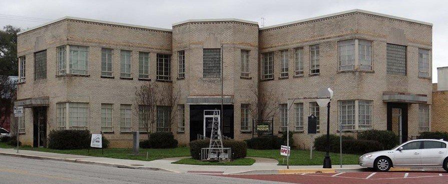
Within Gilmer, visitors can explore a range of attractions that highlight the city's charm and history. The Historic Upshur Museum offers insights into the local history with exhibits on early settlers and regional development. For outdoor enthusiasts, Lake Gilmer provides a serene setting for fishing, boating, and hiking. Additionally, the downtown area hosts a selection of quaint shops and eateries, providing a taste of local flavors and artisanal crafts. This combination of cultural richness and welcoming community spirit makes Gilmer a notable destination in East Texas.
Nearby cities include: East Mountain, TX, Union Grove, TX, Warren City, TX, Gladewater, TX, Big Sandy, TX, Ore City, TX, Clarksville City, TX, White Oak, TX, Hawkins, TX, Pittsburg, TX.
Places in Gilmer
Dine and drink
Eat and drink your way through town.
Can't-miss activities
Culture, natural beauty, and plain old fun.
Places to stay
Hang your (vacation) hat in a place that’s just your style.
Advertisement


