Gail, TX
Advertisement
Gail, TX Map
Gail is a US city in Borden County in the state of Texas. Located at the longitude and latitude of -101.445278, 32.770278 and situated at an elevation of 779 meters. In the 2020 United States Census, Gail, TX had a population of 249 people. Gail is in the Central Standard Time timezone at Coordinated Universal Time (UTC) -6. Find directions to Gail, TX, browse local businesses, landmarks, get current traffic estimates, road conditions, and more.
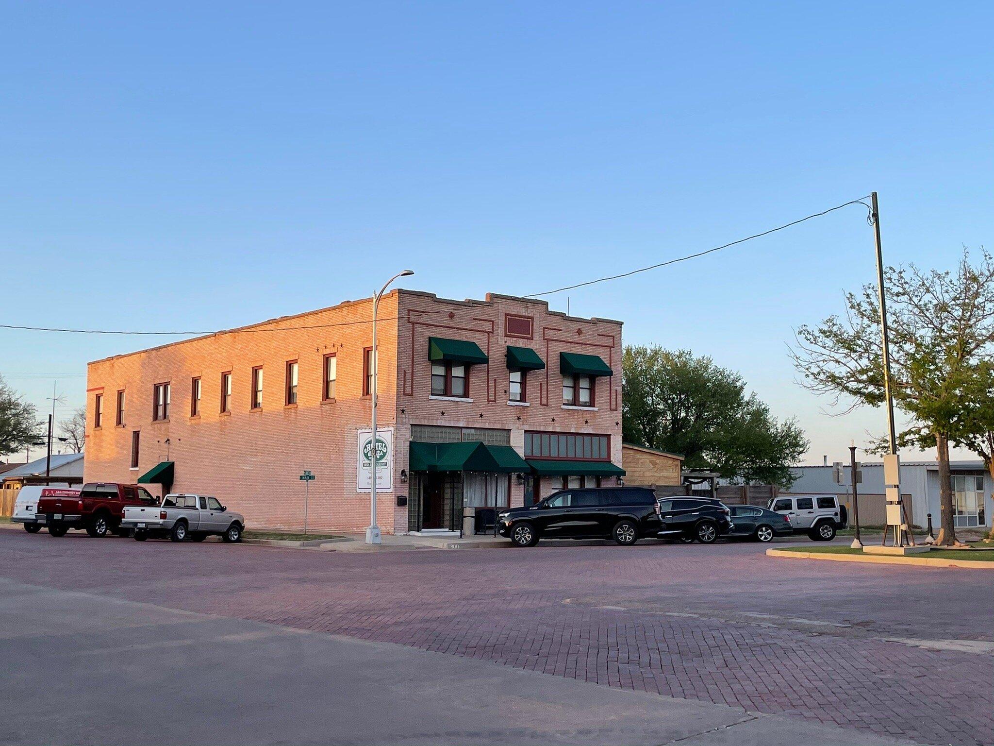
Gail, located in the state of Texas, is a small city steeped in history and known primarily for its connection to the early days of West Texas ranching. The city is named after Gail Borden, the inventor of condensed milk, and serves as a reminder of the agricultural roots that shaped the region. While it may not boast the attractions of larger cities, Gail offers a quiet charm and a glimpse into the past with its historic buildings and local heritage. Visitors can explore remnants of early 20th-century architecture and enjoy the expansive Texas landscape that surrounds the area.
One notable site in Gail is the old courthouse, which stands as a testament to the city's historical significance. This building, along with other period structures, provides a window into the architectural style and community life of early Texas settlers. Outdoor enthusiasts can appreciate the natural beauty of the region, which is characterized by its wide-open spaces and the quintessential Texas scenery. While Gail may not be a bustling metropolis, its historical ties and serene environment make it a unique stop for those exploring the heart of Texas.
Nearby cities include: Fluvanna, TX, Ackerly, TX, Post, TX, Lamesa, TX, Snyder, TX, Coahoma, TX, Tahoka, TX, Big Spring, TX, Westbrook, TX, Hermleigh, TX.
Places in Gail
Dine and drink
Eat and drink your way through town.
Can't-miss activities
Culture, natural beauty, and plain old fun.
Places to stay
Hang your (vacation) hat in a place that’s just your style.
Advertisement


