Farwell, TX
Advertisement
Farwell, TX Map
Farwell is a US city in Parmer County in the state of Texas. Located at the longitude and latitude of -103.038000, 34.383100 and situated at an elevation of 1,263 meters. In the 2020 United States Census, Farwell, TX had a population of 1,425 people. Farwell is in the Central Standard Time timezone at Coordinated Universal Time (UTC) -6. Find directions to Farwell, TX, browse local businesses, landmarks, get current traffic estimates, road conditions, and more.
Farwell, located in the state of Texas, is a small city that embodies the charm and simplicity of the American Midwest. It is primarily known for its agricultural roots, serving as a pivotal hub for farming and ranching in the region. The city exudes a sense of community, with local events and gatherings often centered around its rich farming heritage. Visitors to Farwell can explore its historical sites, including the local museum that offers insights into the city’s past, showcasing artifacts and stories from its founding days in the early 20th century.
One of the notable attractions in Farwell is its beautifully maintained parks, ideal for leisurely strolls and picnics. The city also prides itself on its annual fairs and festivals, which celebrate local culture and traditions, drawing visitors from surrounding areas. These events offer a glimpse into the warm hospitality and tight-knit community spirit that Farwell is renowned for. Despite its small size, the city offers a unique blend of history, culture, and rural charm that makes it a memorable stop for those exploring the broader Texas landscape.
Nearby cities include: Texico, NM, Clovis, NM, Bovina, TX, Muleshoe, TX, Portales, NM, Friona, TX, Floyd, NM, Melrose, NM, Grady, NM, Dora, NM.
Places in Farwell
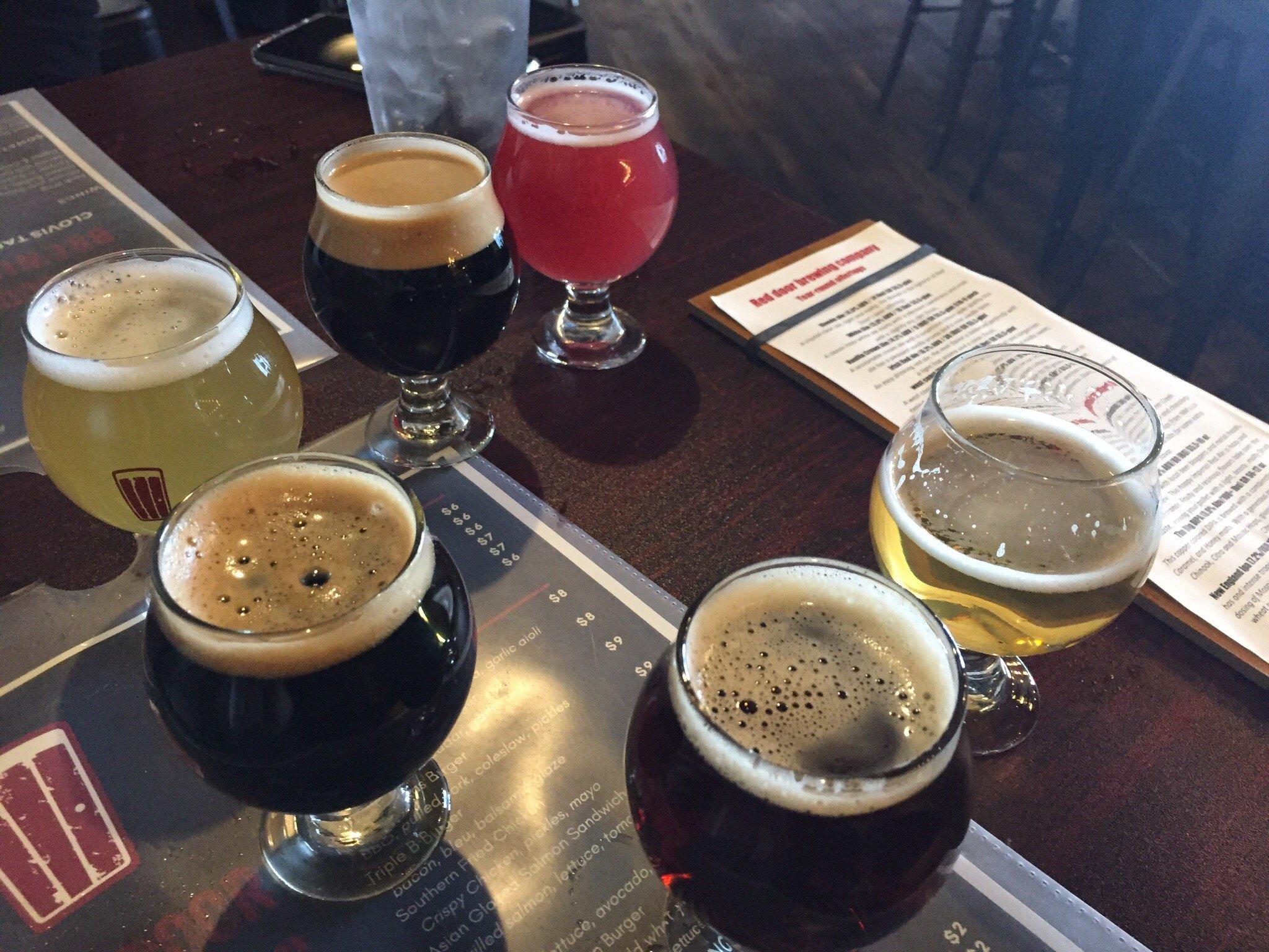
Dine and drink
Eat and drink your way through town.
Can't-miss activities
Culture, natural beauty, and plain old fun.
Places to stay
Hang your (vacation) hat in a place that’s just your style.
Advertisement


