Emory, TX
Advertisement
Emory, TX Map
Emory is a US city in Rains County in the state of Texas. Located at the longitude and latitude of -95.766400, 32.876700 and situated at an elevation of 146 meters. In the 2020 United States Census, Emory, TX had a population of 1,251 people. Emory is in the Central Standard Time timezone at Coordinated Universal Time (UTC) -6. Find directions to Emory, TX, browse local businesses, landmarks, get current traffic estimates, road conditions, and more.
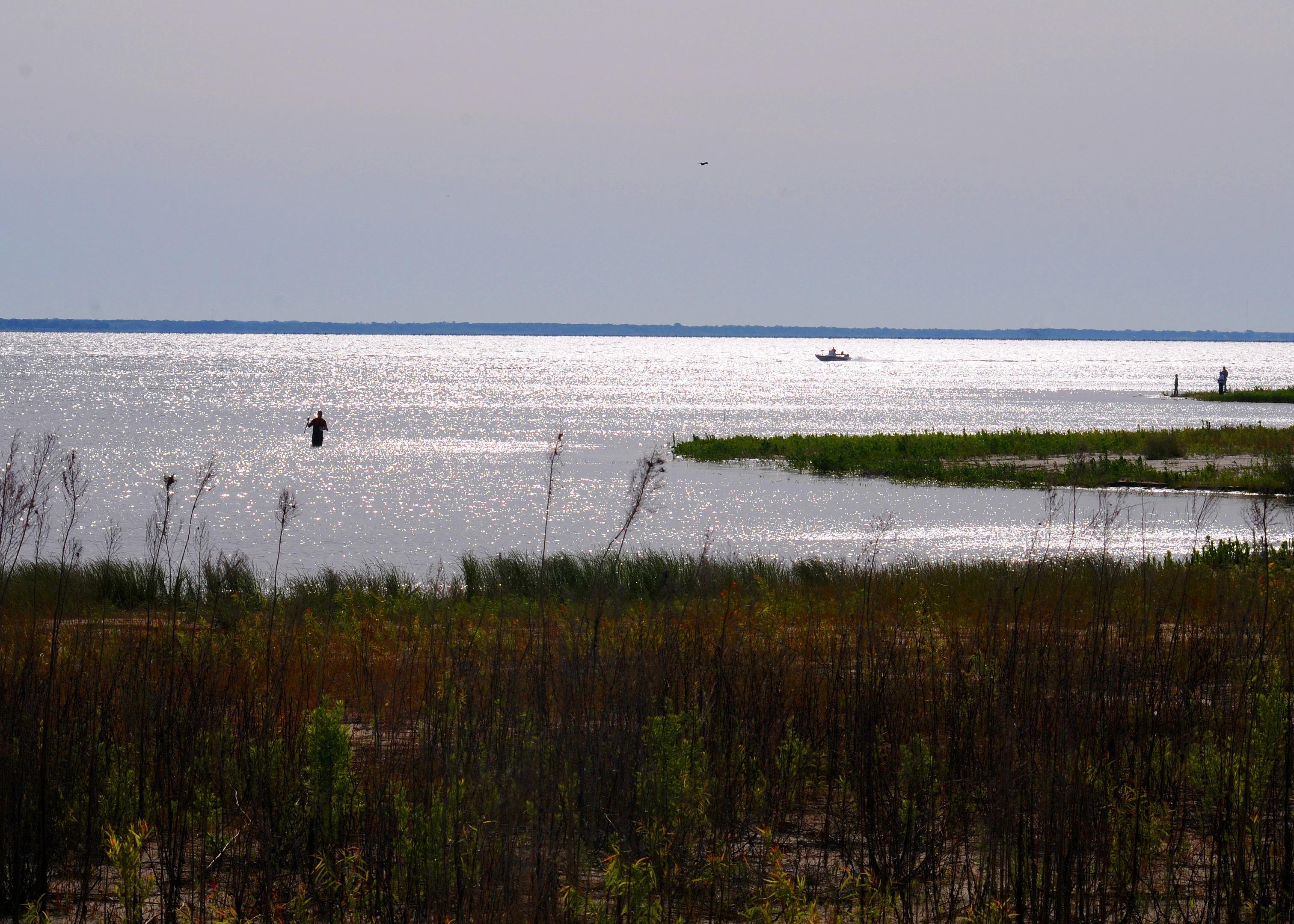
Emory, Texas, is a charming small city known for its proximity to some of the state's most serene outdoor attractions. It serves as a gateway to the picturesque Lake Tawakoni and Lake Fork Reservoir, which are popular among fishing enthusiasts eager to catch trophy-sized bass. The city's history is rooted in its development as a community hub in the late 19th century, and it retains a quintessential small-town Texas charm.
Visitors to Emory can explore the Rains County Courthouse, an architectural gem that reflects the city's historic heritage. The courthouse square is a focal point for community events and gatherings, providing a glimpse into the local culture. Nature lovers will appreciate the nearby parks and wildlife areas, which offer opportunities for hiking, bird watching, and enjoying the natural beauty of East Texas. Emory's blend of history, outdoor activities, and small-town allure make it a noteworthy stop for travelers exploring the region.
Nearby cities include: Point, TX, Alba, TX, East Tawakoni, TX, Yantis, TX, Lone Oak, TX, Fruitvale, TX, Grand Saline, TX, Edgewood, TX, West Tawakoni, TX, Wills Point, TX.
Places in Emory
Dine and drink
Eat and drink your way through town.
Can't-miss activities
Culture, natural beauty, and plain old fun.
Places to stay
Hang your (vacation) hat in a place that’s just your style.
Advertisement


