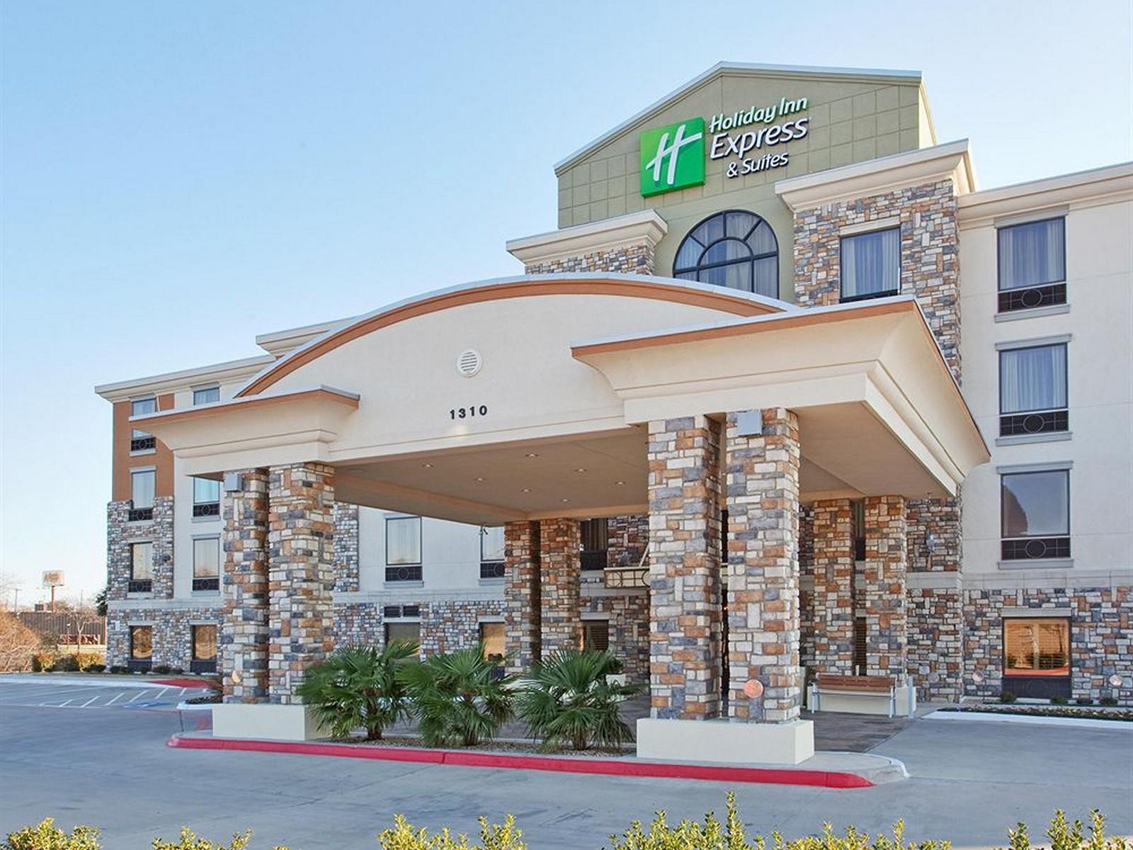
DeSoto, TX
Advertisement
DeSoto, TX Map
DeSoto is a US city in Dallas County in the state of Texas. Located at the longitude and latitude of -96.858900, 32.599200 and situated at an elevation of 203 meters. In the 2020 United States Census, DeSoto, TX had a population of 56,145 people. DeSoto is in the Central Standard Time timezone at Coordinated Universal Time (UTC) -6. Find directions to DeSoto, TX, browse local businesses, landmarks, get current traffic estimates, road conditions, and more.
DeSoto, Texas, is a city with a rich historical backdrop and a vibrant community spirit. Known for its commitment to preserving its heritage, DeSoto boasts several noteworthy spots that attract both locals and visitors. The city is home to the historic Nance Farm, a site that dates back to the 1850s and offers a glimpse into the area's agricultural past. This farm is a testament to DeSoto's roots and serves as a cultural landmark. Furthermore, DeSoto's Town Center is a bustling hub that provides a mix of entertainment, dining, and shopping options, acting as a central gathering place for community events and activities.
For those interested in outdoor recreation, DeSoto features a well-maintained park system that includes the scenic Windmill Hill Nature Preserve, which offers trails for hiking and biking amidst natural beauty. The city also prides itself on its strong sense of community and hosts various events throughout the year, such as the annual DeSoto Living Festival, which showcases local talent and culture. With its blend of historical significance and modern amenities, DeSoto stands out as a city that honors its past while embracing the present.
Nearby cities include: Shamrock, TX, Glenn Heights, TX, Duncanville, TX, Lancaster, TX, Ovilla, TX, Cedar Hill, TX, Oak Leaf, TX, Red Oak, TX, Pecan Hill, TX, Hutchins, TX.
Places in Desoto
Dine and drink
Eat and drink your way through town.
Can't-miss activities
Culture, natural beauty, and plain old fun.
Places to stay
Hang your (vacation) hat in a place that’s just your style.
Advertisement


