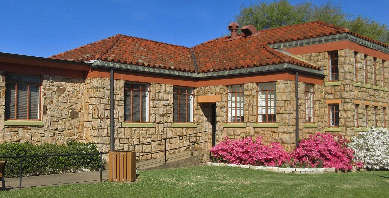
Cuney, TX
Advertisement
Cuney, TX Map
Cuney is a US city in Cherokee County in the state of Texas. Located at the longitude and latitude of -95.417800, 32.034200 and situated at an elevation of 114 meters. In the 2020 United States Census, Cuney, TX had a population of 116 people. Cuney is in the Central Standard Time timezone at Coordinated Universal Time (UTC) -6. Find directions to Cuney, TX, browse local businesses, landmarks, get current traffic estimates, road conditions, and more.
Cuney, Texas, may not be a bustling metropolis, but it holds a unique place in the tapestry of Texan history. This small town is known for its origins as a community founded by freed slaves, offering a glimpse into the post-Civil War era and the resilience of African American pioneers in the region. Named after its founder, H.L. Price Cuney, the town was officially incorporated in the 1980s, although its roots go much deeper. The local culture is steeped in this rich heritage, offering visitors a reflective journey into a significant chapter of American history.
While Cuney may not boast a plethora of tourist attractions, its charm lies in its simplicity and historical significance. Visitors can explore the peaceful rural landscapes surrounding the town, which provide an ideal backdrop for those interested in history and the evolution of small-town America. The town hall and community center often serve as focal points for local events, providing a glimpse into the tight-knit community spirit that defines Cuney. Though not a conventional tourist destination, Cuney offers a quiet, contemplative experience for those interested in the deeper stories of Texas.
Nearby cities include: Berryville, TX, Frankston, TX, Coffee City, TX, Bullard, TX, Jacksonville, TX, Poynor, TX, Moore Station, TX, Noonday, TX, Whitehouse, TX, Gallatin, TX.
Places in Cuney
Dine and drink
Eat and drink your way through town.
Can't-miss activities
Culture, natural beauty, and plain old fun.
Places to stay
Hang your (vacation) hat in a place that’s just your style.
Advertisement


