Camp Wood, TX
Advertisement
Camp Wood, TX Map
Camp Wood is a US city in Real County in the state of Texas. Located at the longitude and latitude of -100.011667, 29.669167 and situated at an elevation of 444 meters. In the 2020 United States Census, Camp Wood, TX had a population of 517 people. Camp Wood is in the Central Standard Time timezone at Coordinated Universal Time (UTC) -6. Find directions to Camp Wood, TX, browse local businesses, landmarks, get current traffic estimates, road conditions, and more.
Camp Wood, located in the scenic Hill Country of Texas, is renowned for its proximity to the Nueces River, a popular spot for outdoor enthusiasts seeking activities such as fishing, swimming, and kayaking. This small city is a gateway to the rugged beauty of the Texas landscape, offering access to the nearby hills and trails that attract hikers and nature lovers. A significant local attraction is the Camp Wood Hills, which provide picturesque views and a serene environment for those looking to immerse themselves in nature.
Historically, Camp Wood has roots tracing back to its establishment as a military camp in the mid-19th century, which played a role during the Indian Wars. Today, visitors can explore the remnants of this history, while also enjoying local dining and hospitality that reflect the area's rustic charm. The city's laid-back atmosphere and natural allure make it a quiet retreat for those looking to escape the hustle and bustle of urban life and experience the serene beauty of central Texas.
Nearby cities include: Barksdale, TX, Leakey, TX, Rocksprings, TX, Utopia, TX, Uvalde, TX, Knippa, TX, Brackettville, TX, Fort Clark Springs, TX, Sabinal, TX, Spofford, TX.
Places in Camp Wood
Dine and drink
Eat and drink your way through town.
Can't-miss activities
Culture, natural beauty, and plain old fun.
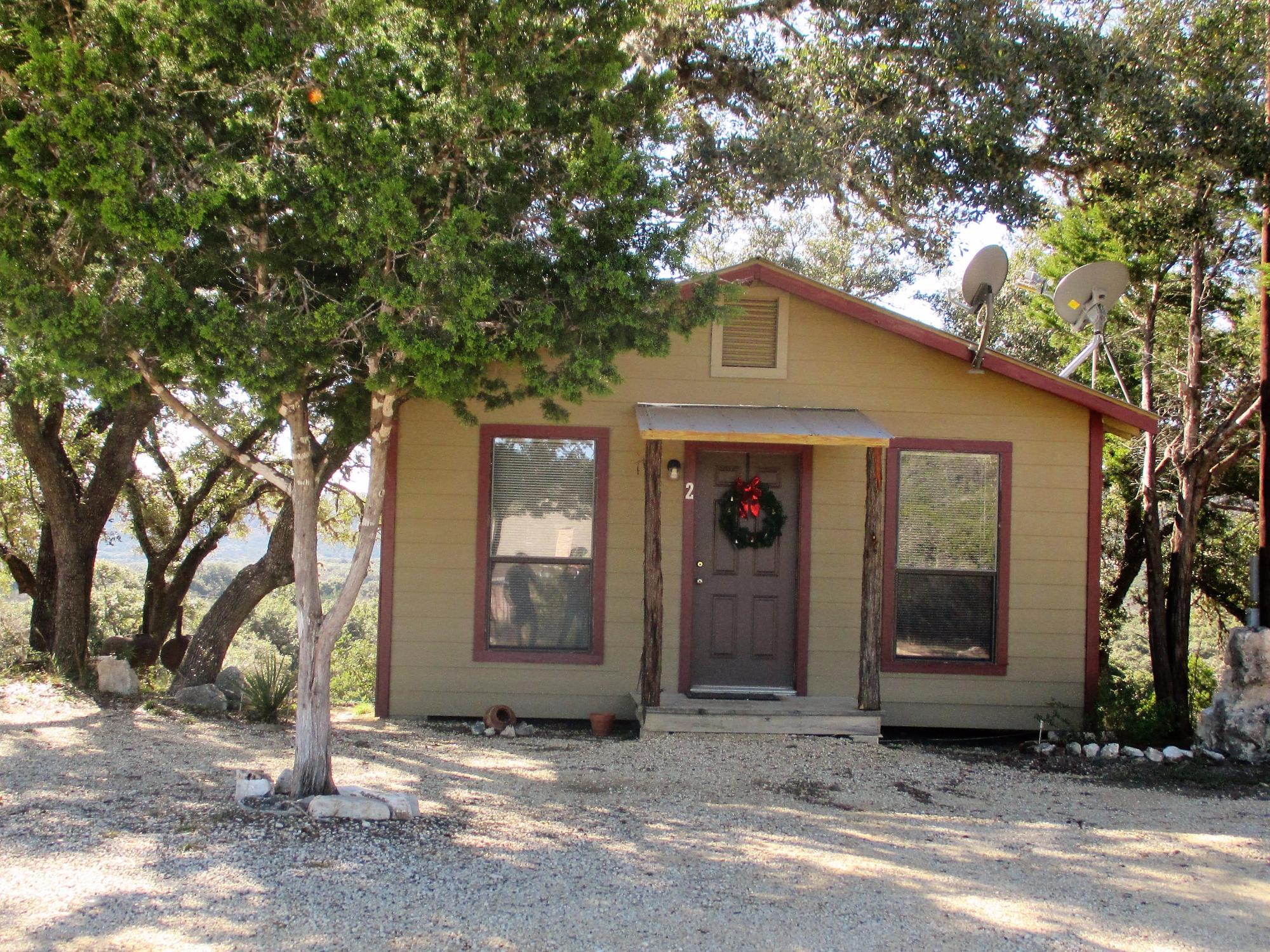
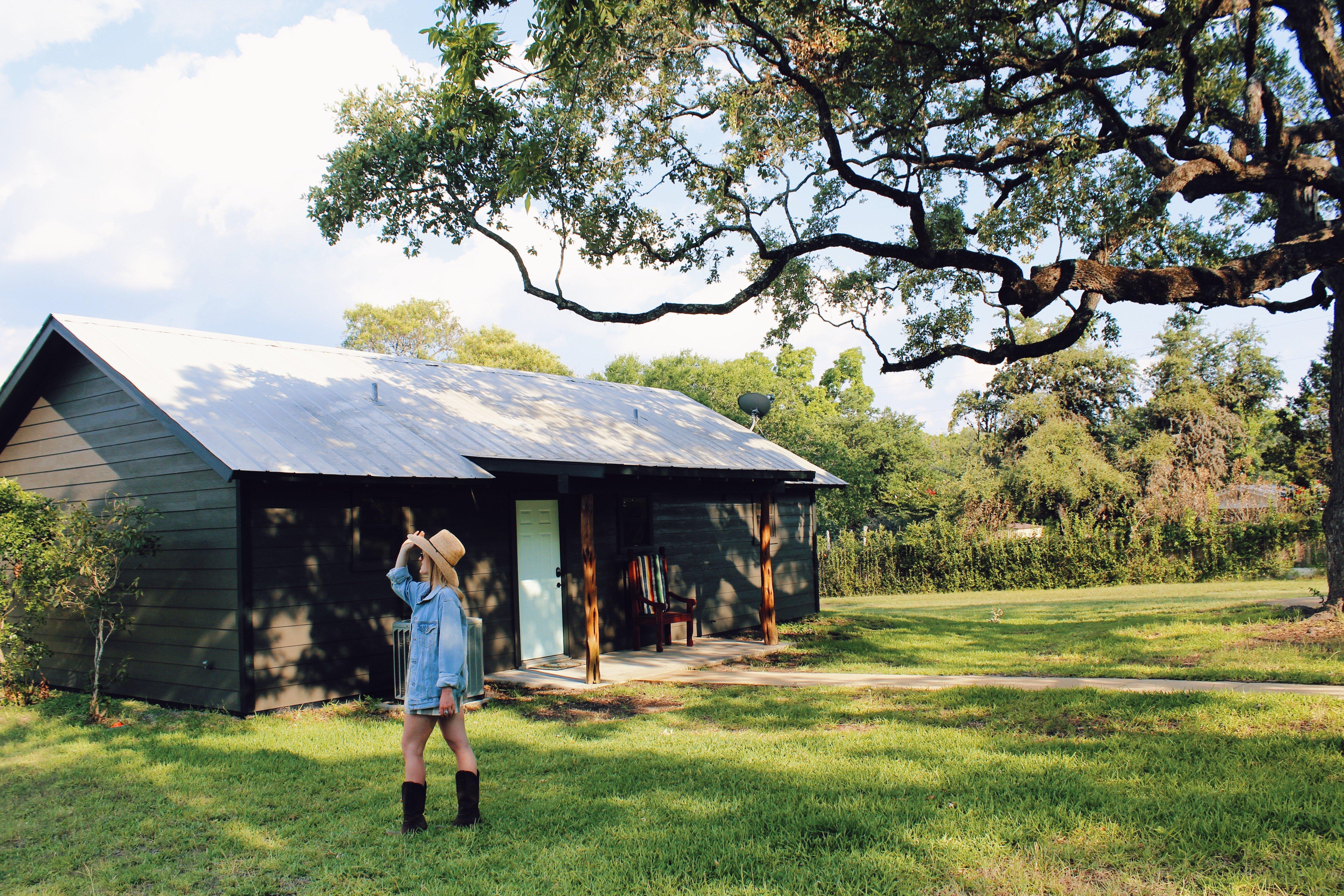
Places to stay
Hang your (vacation) hat in a place that’s just your style.
Advertisement


