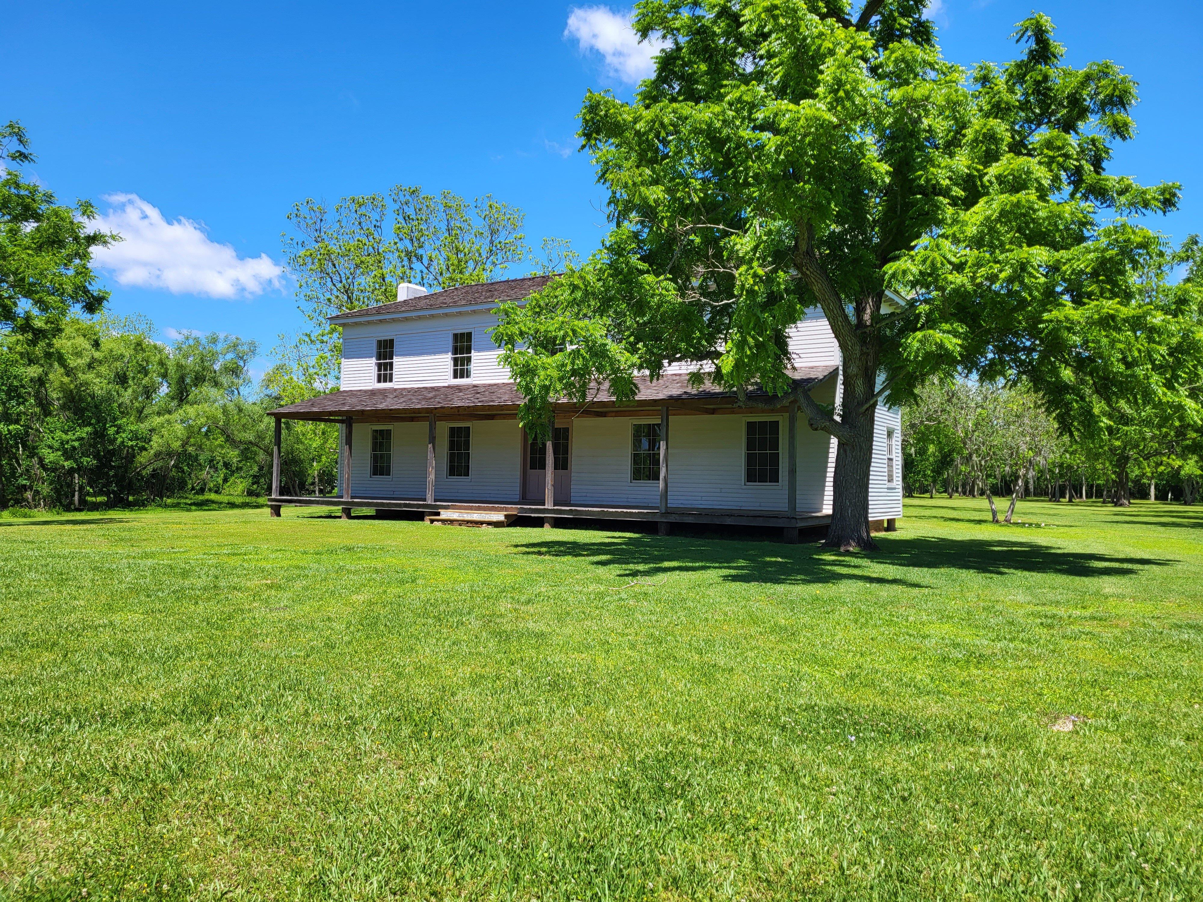
Brazoria, TX
Advertisement
Brazoria, TX Map
Brazoria is a US city in Brazoria County in the state of Texas. Located at the longitude and latitude of -95.567500, 29.047200 and situated at an elevation of 9 meters. In the 2020 United States Census, Brazoria, TX had a population of 2,866 people. Brazoria is in the Central Standard Time timezone at Coordinated Universal Time (UTC) -6. Find directions to Brazoria, TX, browse local businesses, landmarks, get current traffic estimates, road conditions, and more.
Brazoria, Texas, is a small city with a rich historical tapestry and a charm that draws visitors looking to explore the roots of Texas. Known primarily for its connection to early Texas colonization, Brazoria holds a significant place in the history of the Lone Star State. It was one of the first settlements in Stephen F. Austin's colony and became an important commercial center in the 19th century. Visitors can delve into this storied past by visiting the Brazoria County Historical Museum, which offers insights into the region's development and its role in the Texas Revolution.
Besides its historical significance, Brazoria offers a variety of attractions that appeal to nature enthusiasts and those seeking a laid-back atmosphere. Outdoor lovers can enjoy the scenic beauty of the nearby San Bernard National Wildlife Refuge, which provides opportunities for birdwatching, hiking, and fishing. The city is also close to the Brazos River, offering additional recreational activities such as kayaking and canoeing. For a taste of local culture, visitors can attend community events and festivals that celebrate the local heritage and bring residents and tourists together in a friendly, welcoming environment.
Nearby cities include: Jones Creek, TX, Lake Jackson, TX, Sweeny, TX, West Columbia, TX, Bailey's Prairie, TX, Richwood, TX, Clute, TX, Angleton, TX, Freeport, TX, Oyster Creek, TX.
Places in Brazoria
Dine and drink
Eat and drink your way through town.
Can't-miss activities
Culture, natural beauty, and plain old fun.
Places to stay
Hang your (vacation) hat in a place that’s just your style.
Advertisement


