Blanco, TX
Advertisement
Blanco, TX Map
Blanco is a US city in Blanco County in the state of Texas. Located at the longitude and latitude of -98.422200, 30.099400 and situated at an elevation of 405 meters. In the 2020 United States Census, Blanco, TX had a population of 1,682 people. Blanco is in the Central Standard Time timezone at Coordinated Universal Time (UTC) -6. Find directions to Blanco, TX, browse local businesses, landmarks, get current traffic estimates, road conditions, and more.
Blanco, Texas, is a small city known for its charming rural atmosphere and picturesque natural settings. Nestled in the scenic Texas Hill Country, Blanco is renowned for the Blanco State Park, where the Blanco River meanders through, offering opportunities for fishing, swimming, and picnicking. The park provides a serene escape with its lush landscapes and clear waters, making it a favorite spot for both locals and visitors. The city’s quaint downtown area features historic buildings, boutique shops, and local eateries that reflect the town's laid-back vibe and rich history.
Blanco's historical roots date back to its founding in 1853, and the city has preserved much of its heritage through historic sites such as the Old Blanco County Courthouse, which now serves as a community center and event venue. This iconic building, constructed in 1885, is a testament to the city's past and offers a glimpse into the architectural styles of the era. Additionally, Blanco is celebrated for its vibrant lavender fields, with the annual Blanco Lavender Festival drawing visitors who wish to experience the fragrant blooms and artisanal lavender products. The city's blend of natural beauty, historical charm, and community spirit makes it a noteworthy destination in the heart of Texas.
Nearby cities include: Johnson City, TX, Spring Branch, TX, Stonewall, TX, Canyon Lake, TX, Woodcreek, TX, Wimberley, TX, Dripping Springs, TX, Driftwood, TX, Round Mountain, TX, Bulverde, TX.
Places in Blanco
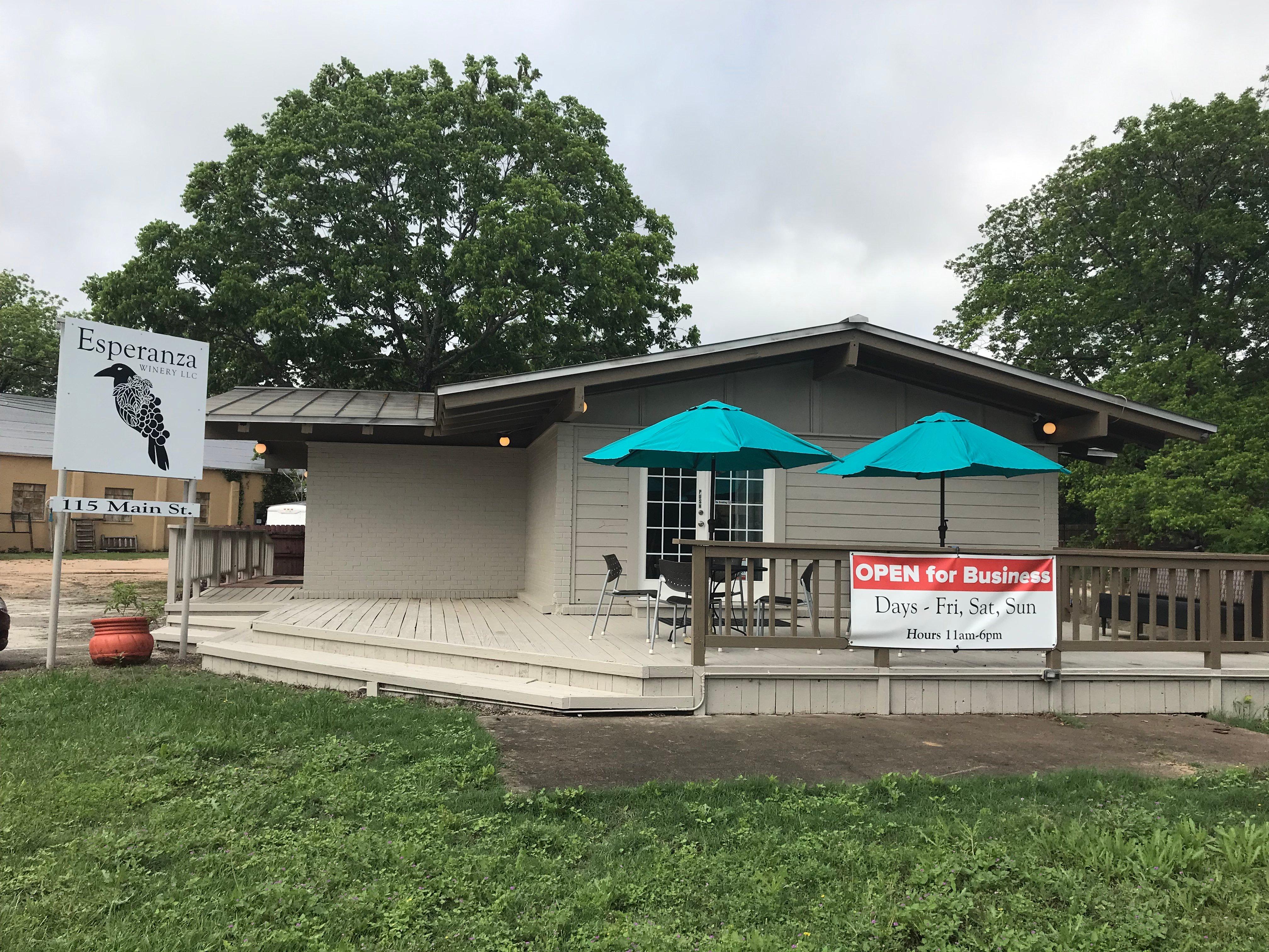
Dine and drink
Eat and drink your way through town.
Can't-miss activities
Culture, natural beauty, and plain old fun.
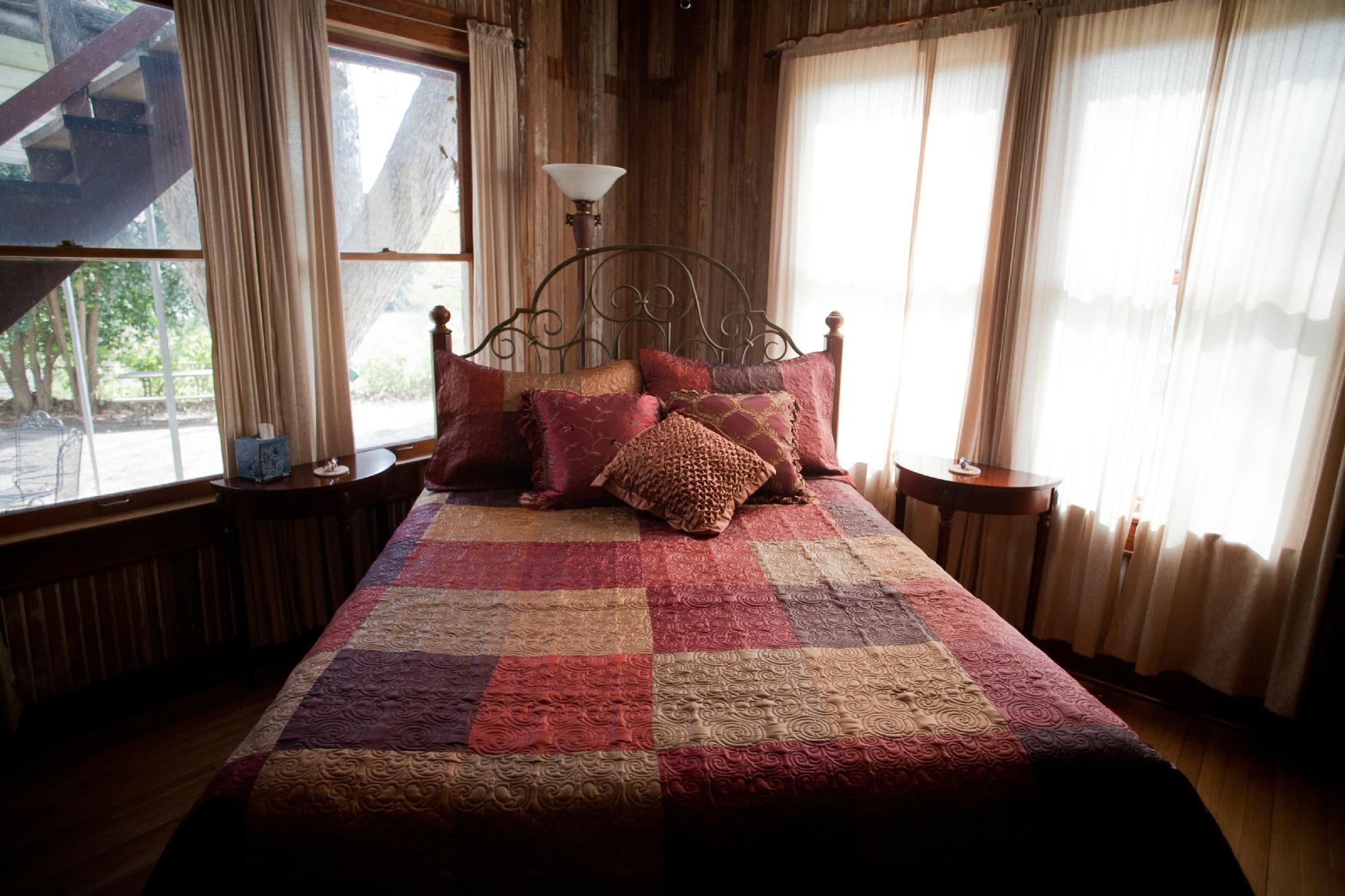
Places to stay
Hang your (vacation) hat in a place that’s just your style.
Advertisement


