Beasley, TX
Advertisement
Beasley, TX Map
Beasley is a US city in Fort Bend County in the state of Texas. Located at the longitude and latitude of -95.917200, 29.496400 and situated at an elevation of 33 meters. In the 2020 United States Census, Beasley, TX had a population of 608 people. Beasley is in the Central Standard Time timezone at Coordinated Universal Time (UTC) -6. Find directions to Beasley, TX, browse local businesses, landmarks, get current traffic estimates, road conditions, and more.
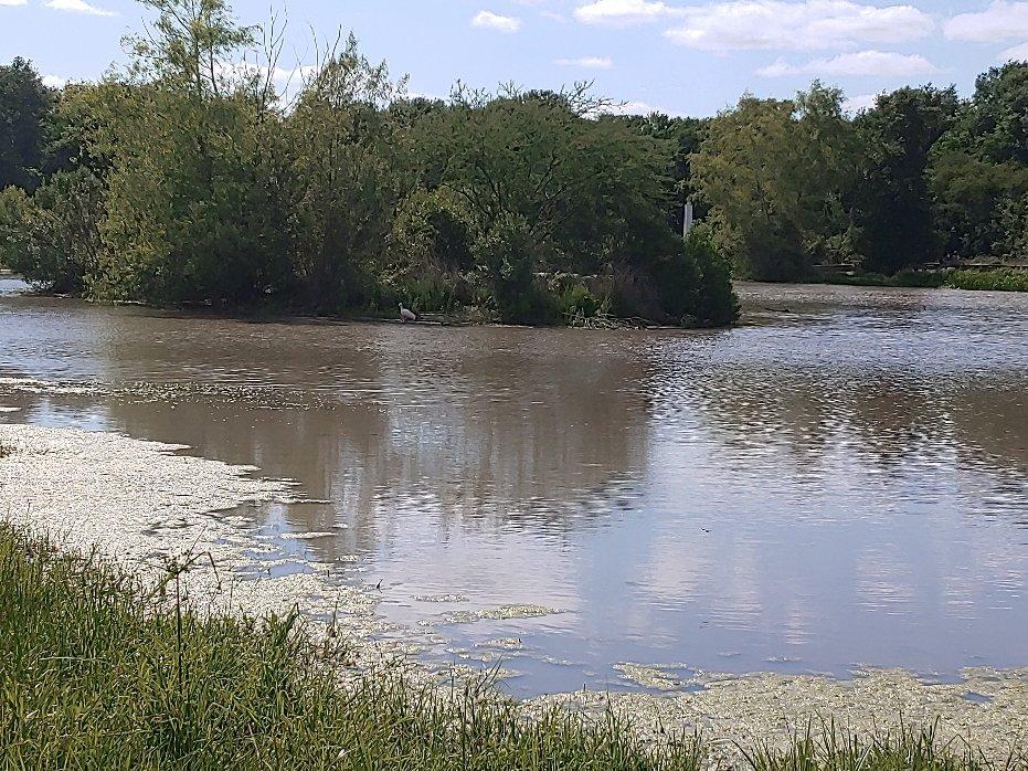
Beasley, Texas, is a small city that offers a glimpse into the quiet, rural lifestyle of the Lone Star State. Known primarily for its agricultural roots, Beasley is surrounded by sprawling farmland that paints a picture of rustic charm. This city doesn't boast the bustling attractions of larger Texan cities but instead prides itself on a close-knit community atmosphere and a slow-paced way of life. Historically, Beasley has served as a hub for farming and ranching, with generations of families contributing to its pastoral landscape.
Visitors to Beasley might enjoy exploring the local parks and open spaces that provide a peaceful retreat from the hustle and bustle of modern life. While the city itself may not have a long list of tourist attractions, its proximity to larger urban areas allows for easy day trips to nearby points of interest while still offering a serene place to return to at the end of the day. The charm of Beasley lies in its simplicity and the genuine warmth of its residents, making it a unique stop for those looking to experience the authentic Texan countryside.
Nearby cities include: Kendleton, TX, Pleak, TX, Rosenberg, TX, Orchard, TX, Needville, TX, Fairchilds, TX, East Bernard, TX, Richmond, TX, Hungerford, TX, Wallis, TX.
Places in Beasley
Can't-miss activities
Culture, natural beauty, and plain old fun.
Places to stay
Hang your (vacation) hat in a place that’s just your style.
Advertisement


