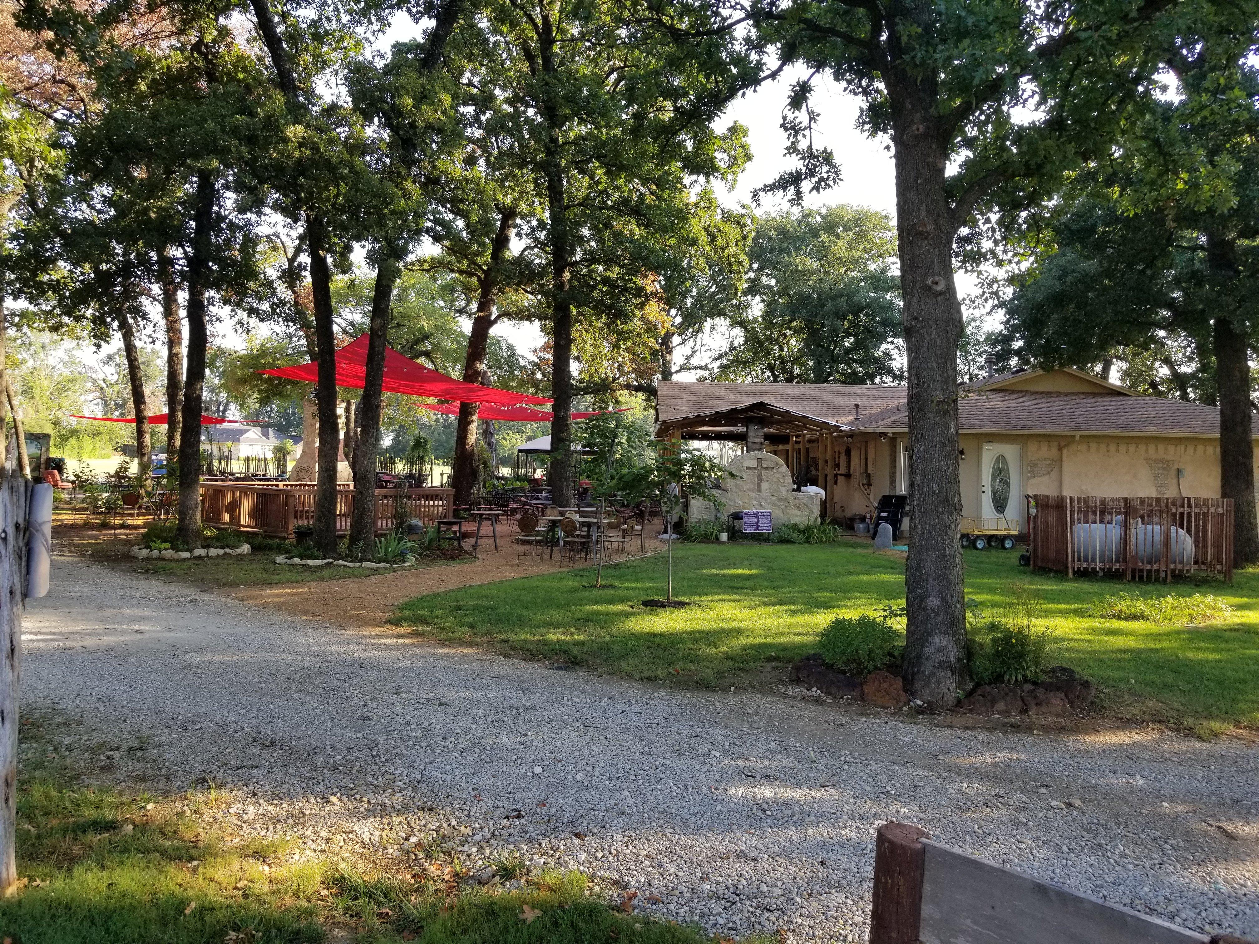
Aubrey, TX
Advertisement
Aubrey, TX Map
Aubrey is a US city in Denton County in the state of Texas. Located at the longitude and latitude of -96.983900, 33.307200 and situated at an elevation of 210 meters. In the 2020 United States Census, Aubrey, TX had a population of 5,006 people. Aubrey is in the Central Standard Time timezone at Coordinated Universal Time (UTC) -6. Find directions to Aubrey, TX, browse local businesses, landmarks, get current traffic estimates, road conditions, and more.
Aubrey, Texas, is a small city known for its rich equestrian culture and rural charm. As part of the state's renowned horse country, Aubrey is dotted with numerous horse ranches and farms, making it a hub for equestrian enthusiasts. This affinity for horses is celebrated annually at the Aubrey Peanut Festival, a local event that combines the town's agricultural roots with community festivities. Historically, Aubrey began as a farming community in the late 19th century, with its development closely tied to the establishment of the Texas and Pacific Railway, which helped boost local trade and growth.
Visitors to Aubrey can explore several popular spots that reflect its unique character. The Aubrey Area Museum offers a glimpse into the city's past, showcasing artifacts and exhibits that tell the story of the community's evolution. Outdoor enthusiasts often visit Ray Roberts Lake State Park, located a short drive away, where they can engage in activities such as hiking, fishing, and camping. The city's quaint downtown area also provides a selection of charming local shops and eateries, offering a taste of small-town Texas hospitality.
Nearby cities include: Krugerville, TX, Cross Roads, TX, Lincoln Park, TX, Providence, TX, Paloma Creek, TX, Pilot Point, TX, Paloma Creek South, TX, Savannah, TX, Oak Point, TX, Little Elm, TX.
Places in Aubrey
Dine and drink
Eat and drink your way through town.
Can't-miss activities
Culture, natural beauty, and plain old fun.
Places to stay
Hang your (vacation) hat in a place that’s just your style.
Advertisement


