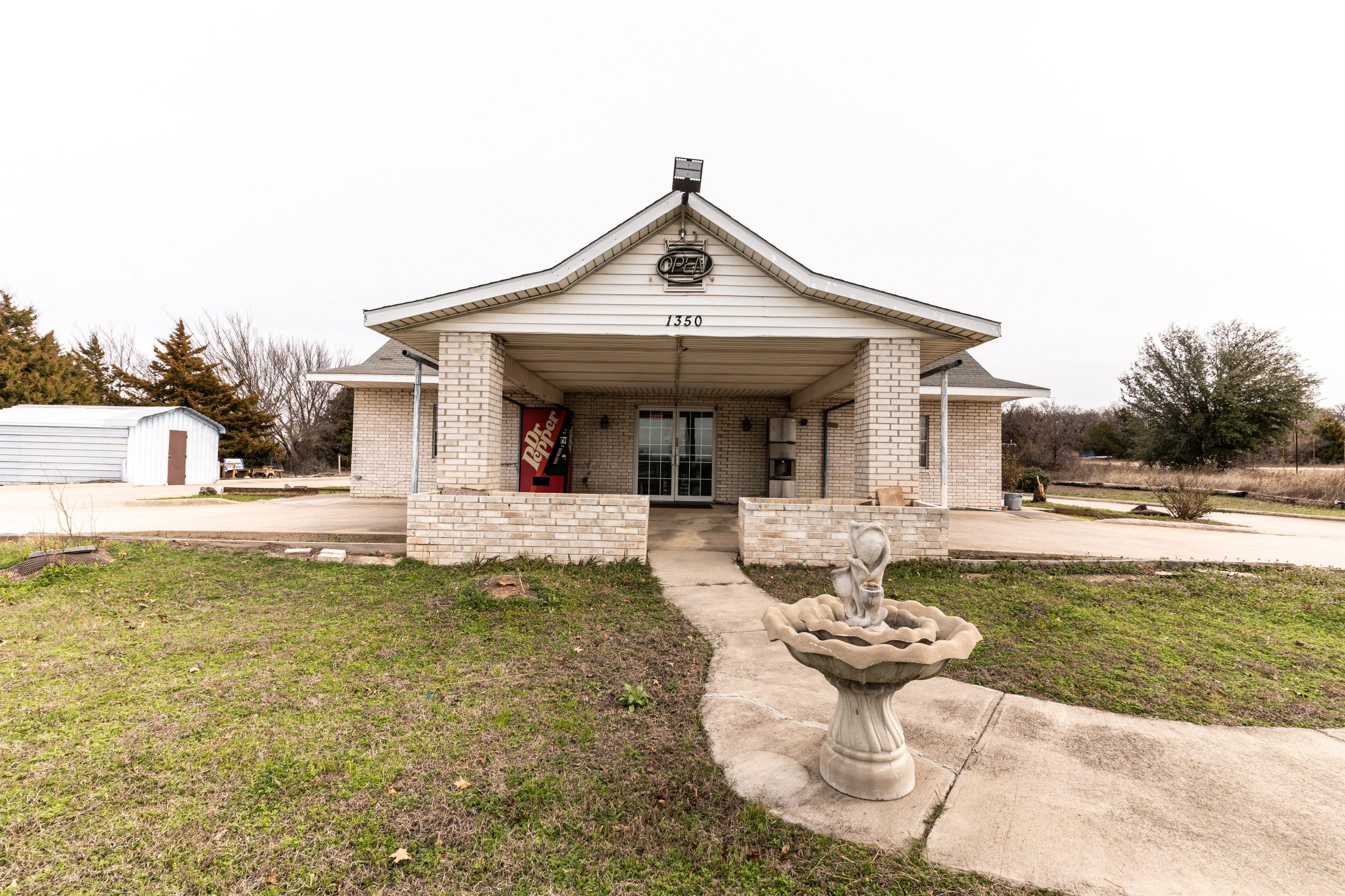
Alvord, TX
Advertisement
Alvord, TX Map
Alvord is a US city in Wise County in the state of Texas. Located at the longitude and latitude of -97.695280, 33.358890 and situated at an elevation of 262 meters. In the 2020 United States Census, Alvord, TX had a population of 1,351 people. Alvord is in the Central Standard Time timezone at Coordinated Universal Time (UTC) -6. Find directions to Alvord, TX, browse local businesses, landmarks, get current traffic estimates, road conditions, and more.
Alvord, Texas, is a quaint and peaceful town known for its quintessential small-town charm and historical roots. Established in the late 19th century, Alvord has a rich history tied to the expansion of the railroad, which played a significant role in its development. The town is home to several historic buildings that reflect its past and provide a glimpse into the life of early settlers. Visitors often enjoy exploring these sites, which offer a tangible connection to the town's origins.
One of the notable places to visit in Alvord is the Lyndon B. Johnson National Grassland, located nearby, which offers ample opportunities for outdoor activities such as hiking, bird-watching, and horseback riding. This natural expanse provides a serene escape for nature enthusiasts and those looking to experience the beauty of the Texan landscape. While Alvord may not be a bustling metropolis, its serene environment and historical significance offer a unique and tranquil experience for travelers seeking to explore the quieter side of Texas.
Nearby cities include: Chico, TX, Sunset, TX, Decatur, TX, Bridgeport, TX, Lake Bridgeport, TX, Paradise, TX, Bowie, TX, Runaway Bay, TX, Boyd, TX, Montague, TX.
Places in Alvord
Dine and drink
Eat and drink your way through town.
Can't-miss activities
Culture, natural beauty, and plain old fun.
Places to stay
Hang your (vacation) hat in a place that’s just your style.
Advertisement


