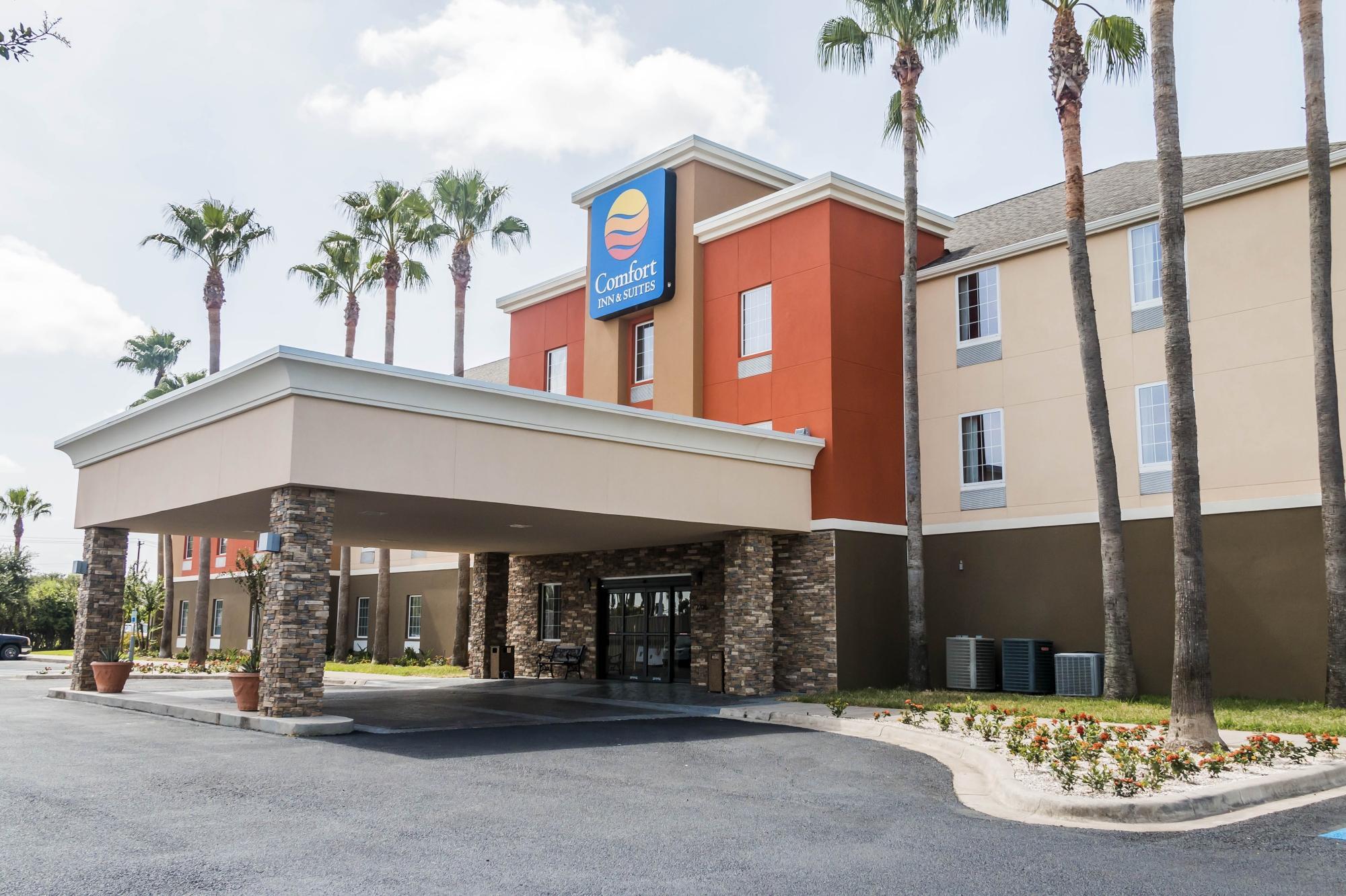
Alamo, TX
Advertisement
Alamo Map
Alamo, Texas, in what is nicknamed the "Land of Two Summers," is a town in the irrigated area of southern Hidalgo County, Texas. This town was incorporated in 1924, and it was named for the Alamo Land and Sugar Company, is 240 miles south of the more famous Texas Alamo Mission, and is near the Mexico-U.S. border. It is located in an area of abundant vegetable farming and citrus groves, and it is a noted winter resort/retirement town. Alamo is also one of the Rio Grande Valley's gateways to Mexico, via U.S. Route 281 and Nuevo Progreso, Tamaulipas. Alamo's population was just 18,353 at the time of the 2010 U.S. Census.
Alamo is supposedly a part of the McAllen-Edinburg-Mission metropolitan area.
Alamo is located at 26°11?6?N 98°7?4?W / 26.185°N 98.11778°W / 26.185; -98.11778 (26.185113, -98.117892).
Nearby cities include Hidalgo, Elsa, Palmhurst, Progreso, Mission.
Places in Alamo
Dine and drink
Eat and drink your way through town.
Places to stay
Hang your (vacation) hat in a place that’s just your style.
Advertisement


