Plankinton, SD
Advertisement
Plankinton, SD Map
Plankinton is a US city in Aurora County in the state of South Dakota. Located at the longitude and latitude of -98.483056, 43.714722 and situated at an elevation of 465 meters. In the 2020 United States Census, Plankinton, SD had a population of 781 people. Plankinton is in the Central Standard Time timezone at Coordinated Universal Time (UTC) -6. Find directions to Plankinton, SD, browse local businesses, landmarks, get current traffic estimates, road conditions, and more.
Plankinton, located in the state of South Dakota, is a small city that offers a glimpse into the heart of rural America. Known for its rich agricultural background, Plankinton is a community where farming remains a significant part of daily life. The city serves as a gateway to the vast prairies that characterize much of South Dakota, providing a serene landscape for those seeking to experience the quieter side of life. While Plankinton might not be bustling with tourist attractions, it is home to several charming spots that highlight its local culture and history.
One of the notable places in Plankinton is the Plankinton City Park, which offers a peaceful setting for picnics, leisurely walks, and community events. The city also boasts a historic downtown area where visitors can explore local shops and eateries that reflect the city's heritage. As for history, Plankinton was established in the late 19th century and played a vital role as a stop on the Chicago, Milwaukee, St. Paul, and Pacific Railroad, which contributed to its development. This city, with its welcoming atmosphere and historical roots, is an ideal stop for those interested in exploring the cultural tapestry of South Dakota.
Nearby cities include: Plankinton, SD, Hopper, SD, Pleasant Lake, SD, Firesteel, SD, Dudley, SD, Eureka, SD, Crystal Lake, SD, Palatine, SD, Stickney, SD, Cooper, SD.
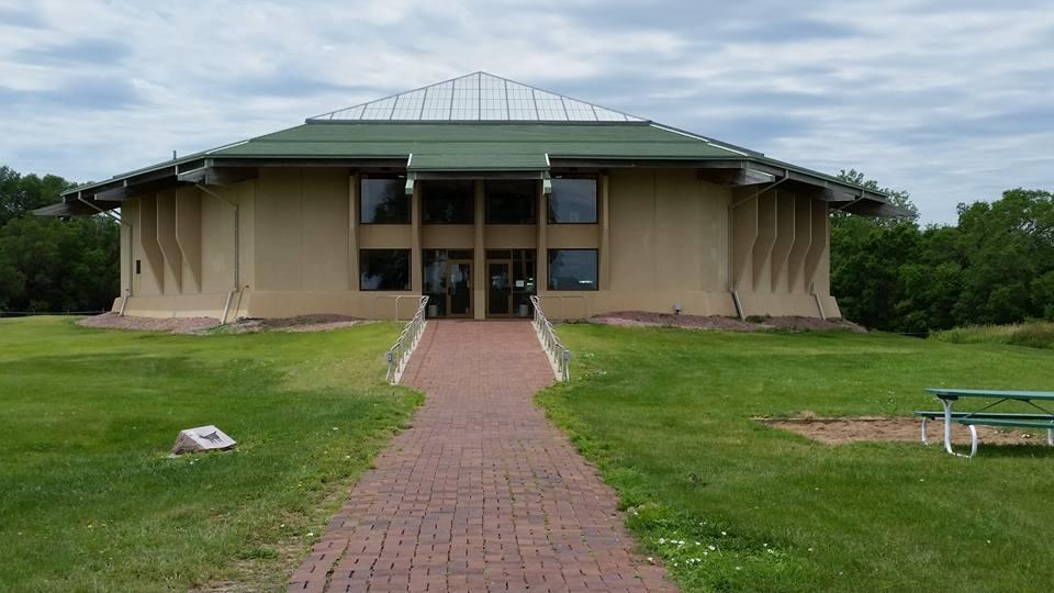
Places in Plankinton
Can't-miss activities
Culture, natural beauty, and plain old fun.
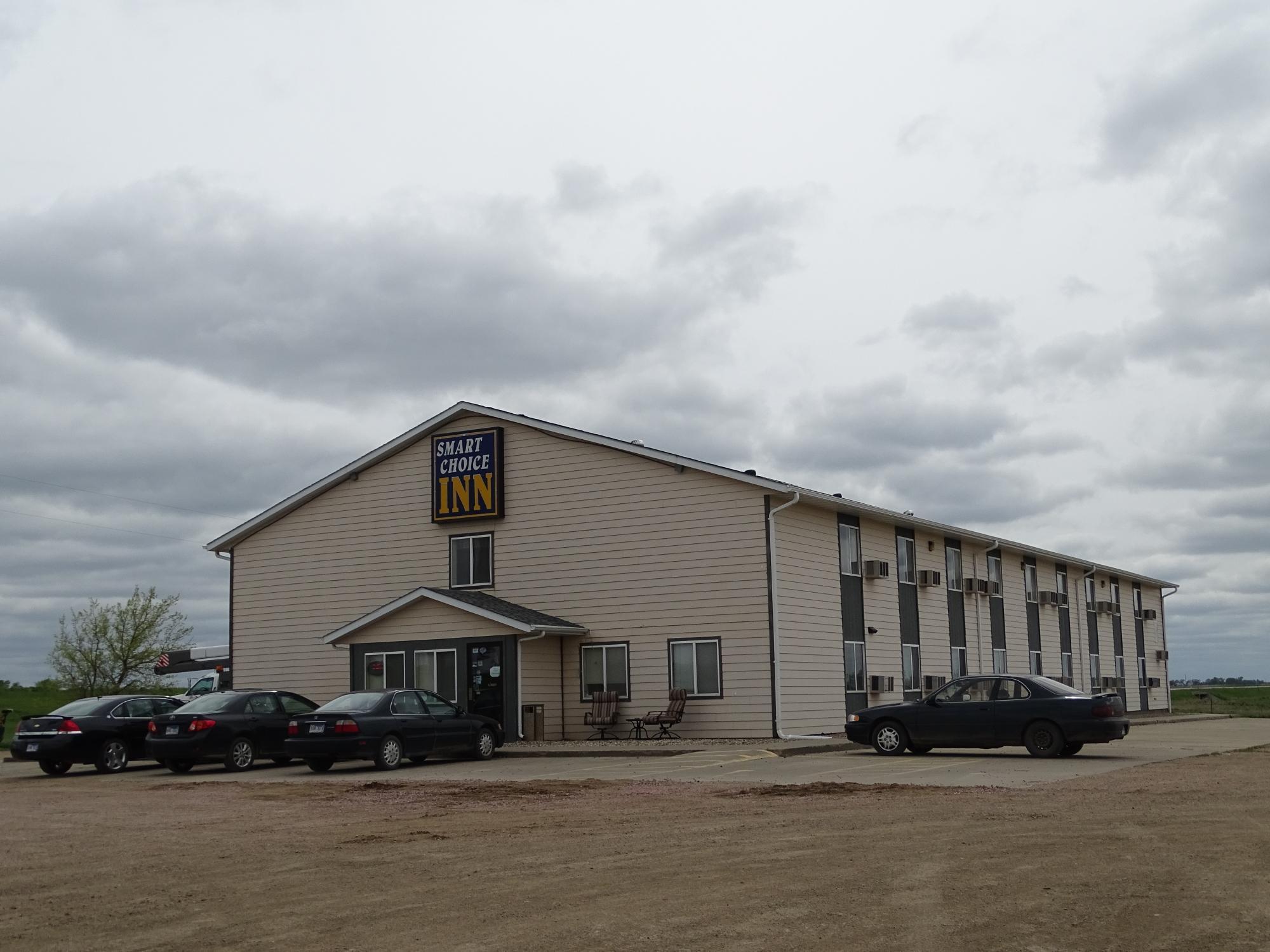
Places to stay
Hang your (vacation) hat in a place that’s just your style.
Advertisement


