


Lower Brule, SD
Advertisement
Lower Brule, SD 57548
Lower Brule Map
Lower Brule is a census-designated place (CDP) in Lyman County, South Dakota, United States. The population was 613 at the 2010 census. This community is located within the Lower Brule Indian Reservation.
Lower Brule is located at 44°4?26?N 99°34?51?W / 44.07389°N 99.58083°W / 44.07389; -99.58083 (44.074014, -99.580716).
According to the United States Census Bureau, the CDP has a total area of 0.4 square miles (0.9 km²), all of it land.
Nearby cities include Reliance, Kennebec, Fort Thompson.
Places in Lower Brule
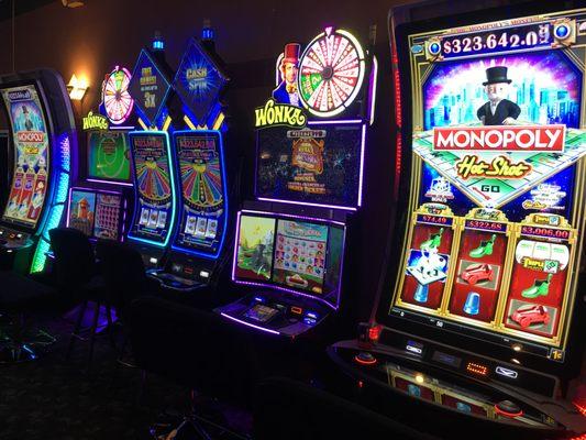
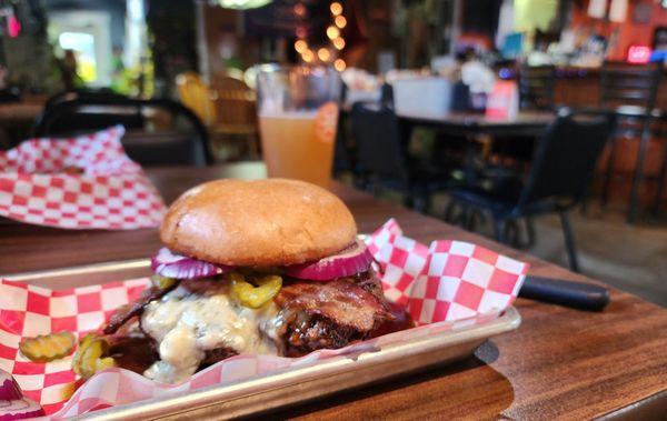
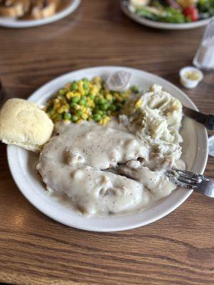
Dine and drink
Eat and drink your way through town.
Can't-miss activities
Culture, natural beauty, and plain old fun.
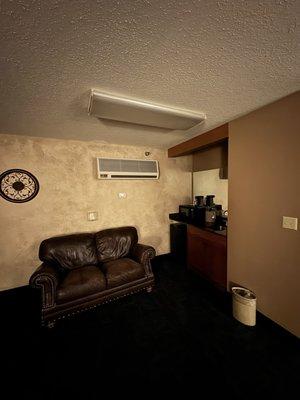
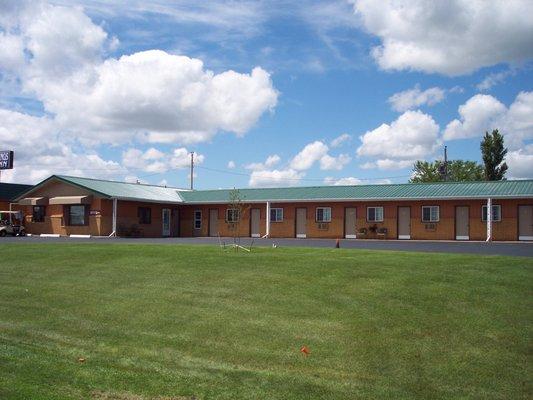
Places to stay
Hang your (vacation) hat in a place that’s just your style.
See a problem?
Advertisement