Turbeville, SC
Advertisement
Turbeville, SC Map
Turbeville is a US city in Clarendon County in the state of South Carolina. Located at the longitude and latitude of -80.013333, 33.889444 and situated at an elevation of 38 meters. In the 2020 United States Census, Turbeville, SC had a population of 760 people. Turbeville is in the Eastern Standard Time timezone at Coordinated Universal Time (UTC) -5. Find directions to Turbeville, SC, browse local businesses, landmarks, get current traffic estimates, road conditions, and more.
Turbeville, located in the state of South Carolina, is a small town that exudes a quaint charm and a rich sense of history. Known for its friendly atmosphere and community spirit, Turbeville offers visitors a glimpse into classic small-town life. The town's history dates back to the late 19th century, and it was named after its founder, John W. Turbeville. A significant part of its heritage is reflected in its architecture and local traditions, which have been preserved over the decades.
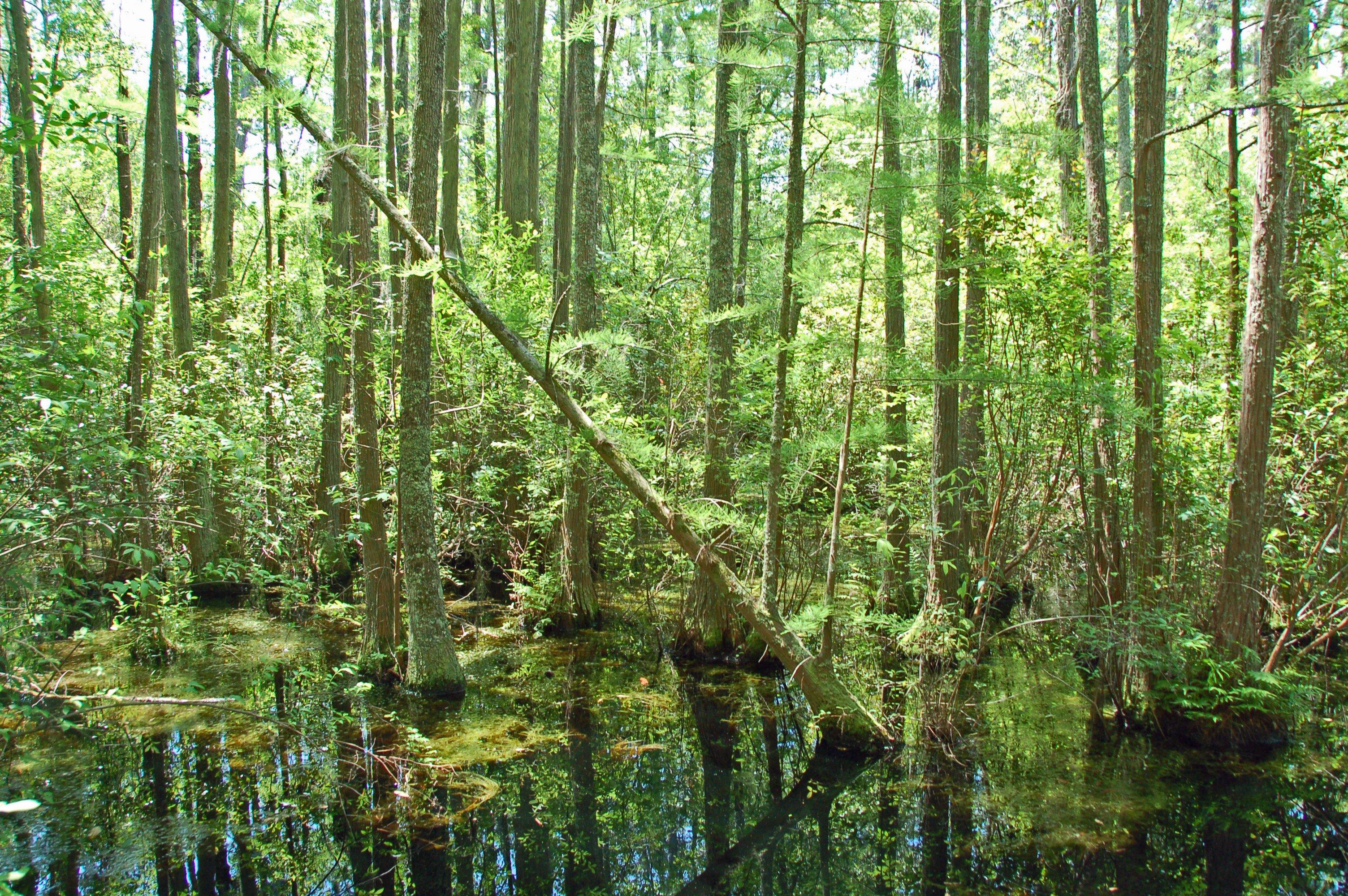
Visitors to Turbeville can explore several local attractions that highlight its cultural and historical significance. One notable spot is the Woods Bay State Park, located nearby, which provides a serene setting for outdoor activities like hiking and birdwatching. The park is renowned for its unique Carolina bay, a type of elliptical wetland that is home to diverse wildlife. Additionally, the town hosts annual events that draw people from the surrounding areas, such as the Turbeville Christmas Parade, which showcases the town's strong sense of community and festive spirit. Overall, Turbeville offers a peaceful retreat with a touch of Southern hospitality and historical charm.
Nearby cities include: Olanta, SC, Lynchburg, SC, Mayesville, SC, Salem, SC, Lake City, SC, Alcolu, SC, Scranton, SC, Coward, SC, Timmonsville, SC, Manning, SC.
Places in Turbeville
Dine and drink
Eat and drink your way through town.
Can't-miss activities
Culture, natural beauty, and plain old fun.
Places to stay
Hang your (vacation) hat in a place that’s just your style.
Advertisement


