McCormick, SC
Advertisement
McCormick, SC Map
McCormick is a US city in McCormick County in the state of South Carolina. Located at the longitude and latitude of -82.289167, 33.913611 and situated at an elevation of 163 meters. In the 2020 United States Census, McCormick, SC had a population of 2,232 people. McCormick is in the Eastern Standard Time timezone at Coordinated Universal Time (UTC) -5. Find directions to McCormick, SC, browse local businesses, landmarks, get current traffic estimates, road conditions, and more.
McCormick, South Carolina, is a charming town with a rich history rooted in the gold mining era. The town was named after Cyrus McCormick, who was instrumental in the region's development due to his investment in the gold mines during the 1850s. Today, McCormick is known for its historical significance and the natural beauty that surrounds it. Visitors can explore the McCormick County Historical Museum, which offers insights into the area's past, including its mining heritage. The museum is housed in a restored 19th-century cotton gin, adding a layer of authenticity to the experience.
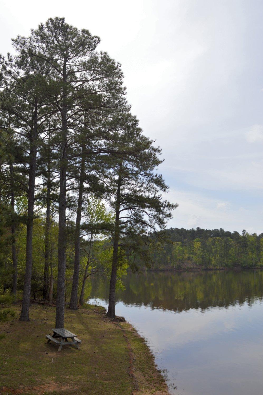
For outdoor enthusiasts, the nearby Sumter National Forest offers numerous recreational activities, such as hiking, fishing, and camping. The scenic beauty of Lake Thurmond, one of the largest man-made lakes in the Southeast, provides ample opportunities for boating and water sports. Additionally, the Dorn Mill Complex is a popular attraction, showcasing the town's industrial past with its preserved gristmill and cotton gin. McCormick's quaint downtown area is perfect for leisurely strolls, with unique shops and local eateries that give visitors a taste of Southern hospitality.
Nearby cities include: Plum Branch, SC, Troy, SC, Bradley, SC, Parksville, SC, Lincolnton, GA, Mount Carmel, SC, Modoc, SC, Promised Land, SC, Clarks Hill, SC, Abbeville, SC.
Places in McCormick
Dine and drink
Eat and drink your way through town.
Can't-miss activities
Culture, natural beauty, and plain old fun.
Places to stay
Hang your (vacation) hat in a place that’s just your style.
Advertisement


